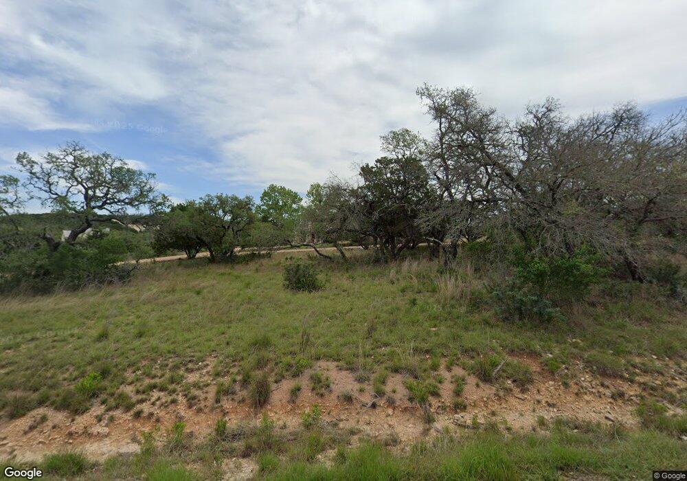
492 Homestead Dr Fredericksburg, TX 78624
Estimated Value: $960,000 - $1,434,000
--
Bed
--
Bath
3,774
Sq Ft
$332/Sq Ft
Est. Value
About This Home
This home is located at 492 Homestead Dr, Fredericksburg, TX 78624 and is currently estimated at $1,251,776, approximately $331 per square foot. 492 Homestead Dr is a home located in Gillespie County with nearby schools including Fredericksburg High School, Ambleside School of Fredericksburg, and St. Mary's Catholic School.
Ownership History
Date
Name
Owned For
Owner Type
Purchase Details
Closed on
Dec 16, 2024
Sold by
Morhart Suzanne
Bought by
Suzanne Fairbank Morhart Revocable Living Tru and Morhart
Current Estimated Value
Create a Home Valuation Report for This Property
The Home Valuation Report is an in-depth analysis detailing your home's value as well as a comparison with similar homes in the area
Home Values in the Area
Average Home Value in this Area
Purchase History
| Date | Buyer | Sale Price | Title Company |
|---|---|---|---|
| Suzanne Fairbank Morhart Revocable Living Tru | -- | None Listed On Document | |
| Suzanne Fairbank Morhart Revocable Living Tru | -- | None Listed On Document |
Source: Public Records
Tax History Compared to Growth
Tax History
| Year | Tax Paid | Tax Assessment Tax Assessment Total Assessment is a certain percentage of the fair market value that is determined by local assessors to be the total taxable value of land and additions on the property. | Land | Improvement |
|---|---|---|---|---|
| 2025 | $13,136 | $1,255,120 | $135,740 | $1,119,380 |
| 2024 | $13,136 | $1,222,962 | $135,740 | $1,216,720 |
| 2023 | $11,784 | $1,111,784 | $135,740 | $1,216,720 |
| 2022 | $13,126 | $1,128,850 | $112,110 | $1,016,740 |
| 2021 | $13,471 | $979,700 | $90,490 | $889,210 |
| 2020 | $12,489 | $835,300 | $70,100 | $765,200 |
| 2019 | $12,996 | $835,300 | $70,100 | $765,200 |
| 2018 | $11,756 | $756,760 | $63,550 | $693,210 |
| 2017 | $11,456 | $725,620 | $63,550 | $662,070 |
| 2016 | $10,415 | $655,660 | $50,250 | $605,410 |
| 2015 | -- | $630,290 | $50,250 | $580,040 |
| 2014 | -- | $593,730 | $50,250 | $543,480 |
Source: Public Records
Map
Nearby Homes
- 169 Royal Oaks Hill
- 417 Royal Oaks Loop
- 815 Oxen Trail
- 191 Campfire Cir
- 817 Usner Rd
- 119 Darby Dr
- 100 Ellendale Place
- 116 Ellendale Place
- 125 Alameda Dr
- 137 Alameda Dr
- LOT 85 Pinnacle Dr
- 112 Ellendale Place
- 5386
- LOT 625 W Eldorado Ridge Dr Unit 625
- 121 Alameda Dr
- 30 Buckskin Path
- LOT 13 Pinnacle Dr Unit 13
- 77 Arch Ray
- 131 Alameda Dr
- LOT 8 Longview Dr
- 592 Homestead Dr
- 479 Homestead Dr
- 409 Homestead Dr
- 634 Homestead Dr
- 129 Homestead Dr Unit 1
- 634 Homestead Dr Unit 50
- 101 Oxen Trail
- 315 Homestead Dr
- 250 Homestead Dr
- 124 Oxen Trail
- Lot 51 Signal Point Unit 51
- 231 Homestead Dr
- 0 Signal Point Unit 51R 55473
- 0 Signal Point Unit 51 81765
- 0 Signal Point Unit 51R 57017
- 0 Signal Point Unit 51
- 247 Oxen Trail
- 0 Oxen Trail Unit 12 57644
- 0 Oxen Trail Unit 12 59337
- 0 Oxen Trail Unit 12 62550
