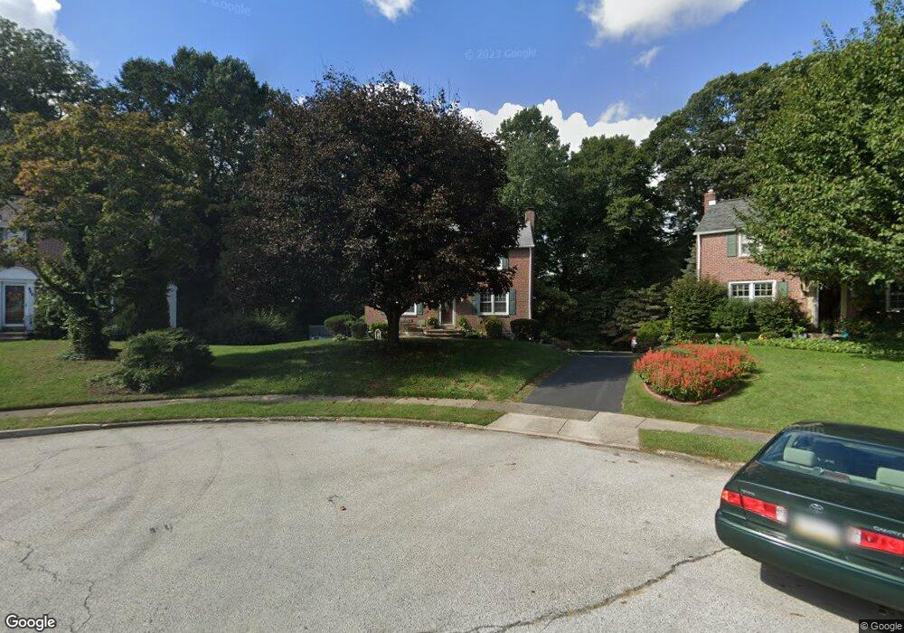
492 Indian Rock Dr Springfield, PA 19064
Estimated Value: $439,000 - $503,000
3
Beds
2
Baths
1,360
Sq Ft
$348/Sq Ft
Est. Value
About This Home
This home is located at 492 Indian Rock Dr, Springfield, PA 19064 and is currently estimated at $472,757, approximately $347 per square foot. 492 Indian Rock Dr is a home located in Delaware County with nearby schools including Springfield High School, Holy Cross School, and Sonshine Christian Academy.
Ownership History
Date
Name
Owned For
Owner Type
Purchase Details
Closed on
Aug 30, 2000
Sold by
Mirzoeff Raphael and Mirzoeff Florence M
Bought by
Grajek Andrew J and Grajek Francelline P
Current Estimated Value
Home Financials for this Owner
Home Financials are based on the most recent Mortgage that was taken out on this home.
Original Mortgage
$143,450
Outstanding Balance
$49,415
Interest Rate
8.1%
Estimated Equity
$423,342
Create a Home Valuation Report for This Property
The Home Valuation Report is an in-depth analysis detailing your home's value as well as a comparison with similar homes in the area
Home Values in the Area
Average Home Value in this Area
Purchase History
| Date | Buyer | Sale Price | Title Company |
|---|---|---|---|
| Grajek Andrew J | $151,000 | Commonwealth Land Title Ins |
Source: Public Records
Mortgage History
| Date | Status | Borrower | Loan Amount |
|---|---|---|---|
| Open | Grajek Andrew J | $143,450 |
Source: Public Records
Tax History
| Year | Tax Paid | Tax Assessment Tax Assessment Total Assessment is a certain percentage of the fair market value that is determined by local assessors to be the total taxable value of land and additions on the property. | Land | Improvement |
|---|---|---|---|---|
| 2025 | $7,802 | $277,570 | $114,820 | $162,750 |
| 2024 | $7,802 | $277,570 | $114,820 | $162,750 |
| 2023 | $7,512 | $277,570 | $114,820 | $162,750 |
| 2022 | $7,350 | $277,570 | $114,820 | $162,750 |
| 2021 | $11,382 | $277,570 | $114,820 | $162,750 |
| 2020 | $6,213 | $137,100 | $55,200 | $81,900 |
| 2019 | $6,067 | $137,100 | $55,200 | $81,900 |
| 2018 | $5,980 | $137,100 | $0 | $0 |
| 2017 | $5,841 | $137,100 | $0 | $0 |
| 2016 | $752 | $137,100 | $0 | $0 |
| 2015 | $768 | $137,100 | $0 | $0 |
| 2014 | $752 | $137,100 | $0 | $0 |
Source: Public Records
Map
Nearby Homes
- 4928 State Rd
- 472 Larchwood Rd
- 4400 School Ln
- 4420 Rosemont Ave
- 800 Collenbrook Ave
- 824 Collenbrook Ave
- 719 Blythe Ave
- 831 Stanbridge Rd
- 905 Addingham Ave
- 461 Wilde Ave
- 412 N Rolling Rd
- 4123 School Ln
- 908 Roberts Ave
- 842 Alexander Ave
- 450 Childs Ave
- 653 Drexel Ave
- 343 Westpark Ln
- 5134 Gramercy Dr
- 399 N Sycamore Ave
- 68 Pilgrim Ln
- 488 Indian Rock Dr
- 496 Indian Rock Dr
- 484 Indian Rock Dr
- 495 Indian Rock Dr
- 477 Sherman Rd
- 489 Indian Rock Dr
- 485 Indian Rock Dr
- 465 Sherman Rd
- 479 Indian Rock Dr
- 461 Sherman Rd
- 509 Sherman Rd
- 457 Sherman Rd
- 515 Sherman Rd
- 464 Indian Rock Dr
- 453 Sherman Rd
- 500 Sherman Rd
- 327 Taylor Rd
- 521 Sherman Rd
- 447 Sherman Rd
- 456 Indian Rock Dr
Your Personal Tour Guide
Ask me questions while you tour the home.