492 Middle Rd Parsonsfield, ME 04047
Estimated Value: $458,000 - $878,000
4
Beds
3
Baths
2,800
Sq Ft
$236/Sq Ft
Est. Value
About This Home
This home is located at 492 Middle Rd, Parsonsfield, ME 04047 and is currently estimated at $660,904, approximately $236 per square foot. 492 Middle Rd is a home located in York County.
Ownership History
Date
Name
Owned For
Owner Type
Purchase Details
Closed on
Aug 8, 2025
Sold by
Murphy-Ashton Ann J
Bought by
Murphy-Ashton Ann J and Ashton George R
Current Estimated Value
Home Financials for this Owner
Home Financials are based on the most recent Mortgage that was taken out on this home.
Original Mortgage
$60,000
Outstanding Balance
$59,365
Interest Rate
5.75%
Mortgage Type
Second Mortgage Made To Cover Down Payment
Estimated Equity
$601,539
Create a Home Valuation Report for This Property
The Home Valuation Report is an in-depth analysis detailing your home's value as well as a comparison with similar homes in the area
Home Values in the Area
Average Home Value in this Area
Purchase History
| Date | Buyer | Sale Price | Title Company |
|---|---|---|---|
| Murphy-Ashton Ann J | -- | -- |
Source: Public Records
Mortgage History
| Date | Status | Borrower | Loan Amount |
|---|---|---|---|
| Open | Murphy-Ashton Ann J | $60,000 |
Source: Public Records
Tax History Compared to Growth
Tax History
| Year | Tax Paid | Tax Assessment Tax Assessment Total Assessment is a certain percentage of the fair market value that is determined by local assessors to be the total taxable value of land and additions on the property. | Land | Improvement |
|---|---|---|---|---|
| 2024 | $6,561 | $390,535 | $78,500 | $312,035 |
| 2023 | $6,327 | $390,535 | $78,500 | $312,035 |
| 2022 | $6,053 | $390,535 | $78,500 | $312,035 |
| 2021 | $6,034 | $390,535 | $78,500 | $312,035 |
| 2020 | $610 | $390,535 | $78,500 | $312,035 |
| 2019 | $5,819 | $390,535 | $78,500 | $312,035 |
| 2017 | $2,610 | $390,535 | $78,500 | $312,035 |
| 2016 | $5,819 | $390,535 | $78,500 | $312,035 |
| 2015 | $5,858 | $390,535 | $78,500 | $312,035 |
| 2013 | $5,702 | $390,535 | $78,500 | $312,035 |
Source: Public Records
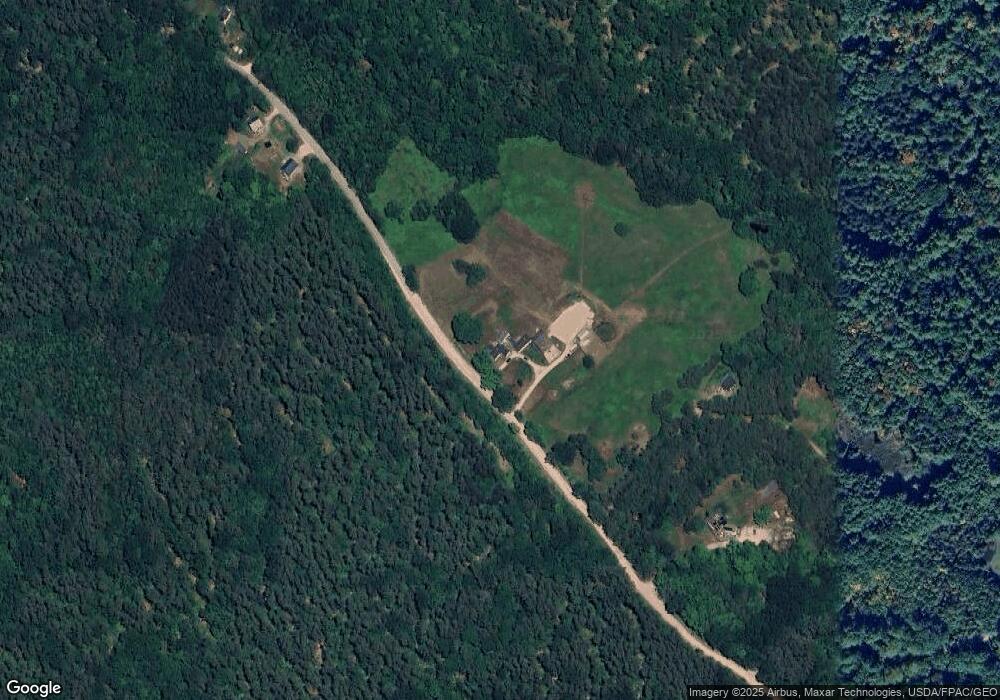
Map
Nearby Homes
- 8 Pennie Ln
- 196 Chase Rd
- Lot 1 Moulton Hill Rd
- 11 Penny Ln
- 199 Stagecoach Rd
- 1533 Province Lake Rd
- 0 S River Ln Unit 1641807
- 88 Stevens Rd
- 106 Stevens Rd Unit 1
- 32 Rufus Mountain Rd
- Lot 4 Emery Rd
- Lot #00 North Rd
- Lot# 01 North Rd
- Lot #02 North Rd
- Lot#33 Shore Acres Rd
- 00 Pratt Rd
- 424 Maplecrest Rd
- 511 South Rd
- 175 Molly Philbrick Rd
- 761 Pendexter Rd