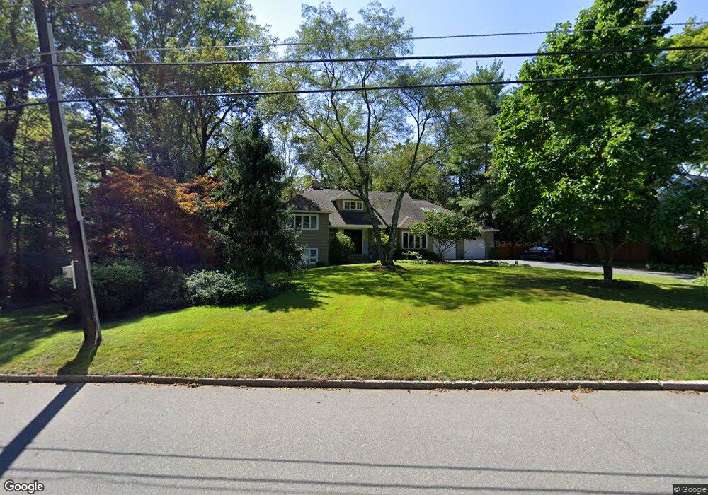
492 Riverside Dr Princeton, NJ 08540
Estimated Value: $1,803,000 - $2,549,000
--
Bed
--
Bath
3,715
Sq Ft
$587/Sq Ft
Est. Value
About This Home
This home is located at 492 Riverside Dr, Princeton, NJ 08540 and is currently estimated at $2,181,410, approximately $587 per square foot. 492 Riverside Dr is a home located in Mercer County with nearby schools including Riverside Elementary School, Princeton Middle School, and Princeton High School.
Ownership History
Date
Name
Owned For
Owner Type
Purchase Details
Closed on
Jul 8, 2015
Sold by
Eaton Robert S and Behrend Beth
Bought by
Robert S Eaton Living Trust and Behrend Beth
Current Estimated Value
Purchase Details
Closed on
Jul 1, 2004
Sold by
Asack Louis
Bought by
Eaton Robert and Behrend Beth
Home Financials for this Owner
Home Financials are based on the most recent Mortgage that was taken out on this home.
Original Mortgage
$130,000
Interest Rate
6.08%
Create a Home Valuation Report for This Property
The Home Valuation Report is an in-depth analysis detailing your home's value as well as a comparison with similar homes in the area
Home Values in the Area
Average Home Value in this Area
Purchase History
| Date | Buyer | Sale Price | Title Company |
|---|---|---|---|
| Robert S Eaton Living Trust | -- | Attorney | |
| Eaton Robert | $1,300,000 | -- |
Source: Public Records
Mortgage History
| Date | Status | Borrower | Loan Amount |
|---|---|---|---|
| Previous Owner | Eaton Robert | $130,000 |
Source: Public Records
Tax History Compared to Growth
Tax History
| Year | Tax Paid | Tax Assessment Tax Assessment Total Assessment is a certain percentage of the fair market value that is determined by local assessors to be the total taxable value of land and additions on the property. | Land | Improvement |
|---|---|---|---|---|
| 2025 | $31,975 | $1,200,700 | $558,000 | $642,700 |
| 2024 | $30,186 | $1,200,700 | $558,000 | $642,700 |
| 2023 | $30,186 | $1,200,700 | $558,000 | $642,700 |
| 2022 | $29,121 | $1,197,400 | $558,000 | $639,400 |
| 2021 | $29,205 | $1,197,400 | $558,000 | $639,400 |
| 2020 | $28,977 | $1,197,400 | $558,000 | $639,400 |
| 2019 | $28,402 | $1,197,400 | $558,000 | $639,400 |
| 2018 | $27,923 | $1,197,400 | $558,000 | $639,400 |
| 2017 | $27,315 | $1,187,600 | $558,000 | $629,600 |
| 2016 | $26,887 | $1,187,600 | $558,000 | $629,600 |
| 2015 | $24,500 | $1,107,600 | $508,000 | $599,600 |
| 2014 | $24,201 | $1,107,600 | $508,000 | $599,600 |
Source: Public Records
Map
Nearby Homes
- 567 Riverside Dr
- 569 Riverside Dr
- 532 Kingston Rd
- 67 Locust Ln
- 428 Nassau St
- 280 Sayre Dr
- 263 Sayre Dr
- 40 Dogwood Ln
- 45 Hedge Row Rd
- 75 Clover Ln
- 345 Sayre Dr
- 50 Broadripple Dr
- 32 Gulick Rd
- 1 Hedge Row Rd
- 1 Markham Rd Unit 2C
- 1 Markham Rd Unit 1D
- 119 Poe Rd
- 2202 Windrow Dr
- 2006 Windrow Dr
- 6 Conifer Ct
- 478 Riverside Dr
- 529 Prospect Ave
- 513 Prospect Ave
- 505 Prospect Ave
- 470 Riverside Dr
- 466 Riverside Dr
- 497 Prospect Ave
- 540 Prospect Ave
- 522 Prospect Ave
- 475 Riverside Dr
- 456 Riverside Dr
- 514 Prospect Ave
- 32 Mason Dr
- 487 Prospect Ave
- 113 Adams Dr
- 546 Riverside Dr
- 446 Riverside Dr
- 28 Mason Dr
- 492 Prospect Ave
- 562 Prospect Ave