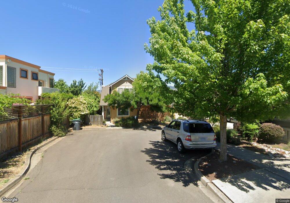
492 Rogue Place Ashland, OR 97520
Cottage District NeighborhoodEstimated Value: $539,850 - $641,000
3
Beds
2
Baths
1,778
Sq Ft
$335/Sq Ft
Est. Value
About This Home
This home is located at 492 Rogue Place, Ashland, OR 97520 and is currently estimated at $595,463, approximately $334 per square foot. 492 Rogue Place is a home located in Jackson County with nearby schools including Walker Elementary School, Ashland Middle School, and Ashland High School.
Ownership History
Date
Name
Owned For
Owner Type
Purchase Details
Closed on
Jan 29, 2025
Sold by
Stickle Richard and Stickle Linda
Bought by
Richard L And Linda J Stickle Trust and Stickle
Current Estimated Value
Purchase Details
Closed on
Apr 26, 2001
Sold by
Mahar Homes Inc
Bought by
Stickle Richard and Stickle Linda J
Create a Home Valuation Report for This Property
The Home Valuation Report is an in-depth analysis detailing your home's value as well as a comparison with similar homes in the area
Home Values in the Area
Average Home Value in this Area
Purchase History
| Date | Buyer | Sale Price | Title Company |
|---|---|---|---|
| Richard L And Linda J Stickle Trust | -- | None Listed On Document | |
| Stickle Richard | $249,000 | Oregon Title Insurance Co | |
| Mahar Homes Inc | -- | Lawyers Title Insurance Corp |
Source: Public Records
Tax History Compared to Growth
Tax History
| Year | Tax Paid | Tax Assessment Tax Assessment Total Assessment is a certain percentage of the fair market value that is determined by local assessors to be the total taxable value of land and additions on the property. | Land | Improvement |
|---|---|---|---|---|
| 2025 | $6,861 | $442,500 | $221,040 | $221,460 |
| 2024 | $6,861 | $429,620 | $214,600 | $215,020 |
| 2023 | $6,637 | $417,110 | $208,340 | $208,770 |
| 2022 | $6,424 | $417,110 | $208,340 | $208,770 |
| 2021 | $6,093 | $404,970 | $202,270 | $202,700 |
| 2020 | $5,869 | $393,180 | $196,380 | $196,800 |
| 2019 | $5,820 | $370,620 | $185,120 | $185,500 |
| 2018 | $5,453 | $359,830 | $179,730 | $180,100 |
| 2017 | $5,408 | $359,830 | $179,730 | $180,100 |
| 2016 | $5,305 | $339,180 | $169,410 | $169,770 |
| 2015 | $4,946 | $339,180 | $169,410 | $169,770 |
| 2014 | $4,793 | $319,720 | $159,690 | $160,030 |
Source: Public Records
Map
Nearby Homes
- 453 Williamson Way
- 419 Clinton St
- 411 N Mountain Ave
- 380 Hemlock Ln
- 401 Clinton St
- 533 N Mountain Ave
- 403 Briscoe Place
- 500 Poplar Place
- 939 B St
- 586 B St
- 1259 Hagen Way
- 224 Alicia St
- 237 B St
- 292 B St
- 252 B St
- 767 Oak St
- 817 N Mountain Ave Unit 3
- 820 Satsuma Ct Unit 6
- 574 E Main St
- 815 Creek Stone Way
- 482 Rogue Place
- 462 Rogue Place
- 394 E Hersey St
- 442 Rogue Place
- 413 E Hersey St
- 422 Rogue Place
- 370 E Hersey St
- 415 E Hersey St
- 389 E Hersey St
- 492 Ann St
- 445 Park Ridge Place
- 400 Williamson Way
- 423 E Hersey St
- 451 Williamson Way
- 444 Park Ridge Place Unit A
- 444 Park Ridge Place
- 429 E Hersey St
- 371 E Hersey St
- 457 Williamson Way
- 449 Park Ridge Place