4920 Auston St Springfield, OH 45502
Estimated Value: $176,590 - $209,000
2
Beds
2
Baths
1,252
Sq Ft
$152/Sq Ft
Est. Value
About This Home
This home is located at 4920 Auston St, Springfield, OH 45502 and is currently estimated at $189,898, approximately $151 per square foot. 4920 Auston St is a home located in Clark County with nearby schools including Northridge Elementary School, Kenton Ridge Middle & High School, and Emmanuel Christian Academy.
Ownership History
Date
Name
Owned For
Owner Type
Purchase Details
Closed on
Jun 7, 2019
Sold by
Bowers Marilyn E
Bought by
Smith Leroy and Smith Pamela Diane
Current Estimated Value
Home Financials for this Owner
Home Financials are based on the most recent Mortgage that was taken out on this home.
Original Mortgage
$98,800
Interest Rate
3.7%
Mortgage Type
New Conventional
Purchase Details
Closed on
Mar 31, 1992
Bought by
Bowers Marilyn E
Create a Home Valuation Report for This Property
The Home Valuation Report is an in-depth analysis detailing your home's value as well as a comparison with similar homes in the area
Home Values in the Area
Average Home Value in this Area
Purchase History
| Date | Buyer | Sale Price | Title Company |
|---|---|---|---|
| Smith Leroy | $104,000 | Chicago Title Company Llc | |
| Bowers Marilyn E | $66,500 | -- |
Source: Public Records
Mortgage History
| Date | Status | Borrower | Loan Amount |
|---|---|---|---|
| Previous Owner | Smith Leroy | $98,800 |
Source: Public Records
Tax History
| Year | Tax Paid | Tax Assessment Tax Assessment Total Assessment is a certain percentage of the fair market value that is determined by local assessors to be the total taxable value of land and additions on the property. | Land | Improvement |
|---|---|---|---|---|
| 2025 | $1,475 | $51,940 | $7,050 | $44,890 |
| 2024 | $1,427 | $33,000 | $6,130 | $26,870 |
| 2023 | $1,427 | $33,000 | $6,130 | $26,870 |
| 2022 | $1,432 | $33,000 | $6,130 | $26,870 |
| 2021 | $1,616 | $31,540 | $4,380 | $27,160 |
| 2020 | $1,617 | $31,540 | $4,380 | $27,160 |
| 2019 | $1,166 | $31,540 | $4,380 | $27,160 |
| 2018 | $1,036 | $28,180 | $4,990 | $23,190 |
| 2017 | $888 | $26,643 | $4,988 | $21,655 |
| 2016 | $882 | $26,643 | $4,988 | $21,655 |
| 2015 | $820 | $26,905 | $5,250 | $21,655 |
| 2014 | $820 | $26,905 | $5,250 | $21,655 |
| 2013 | $801 | $26,905 | $5,250 | $21,655 |
Source: Public Records
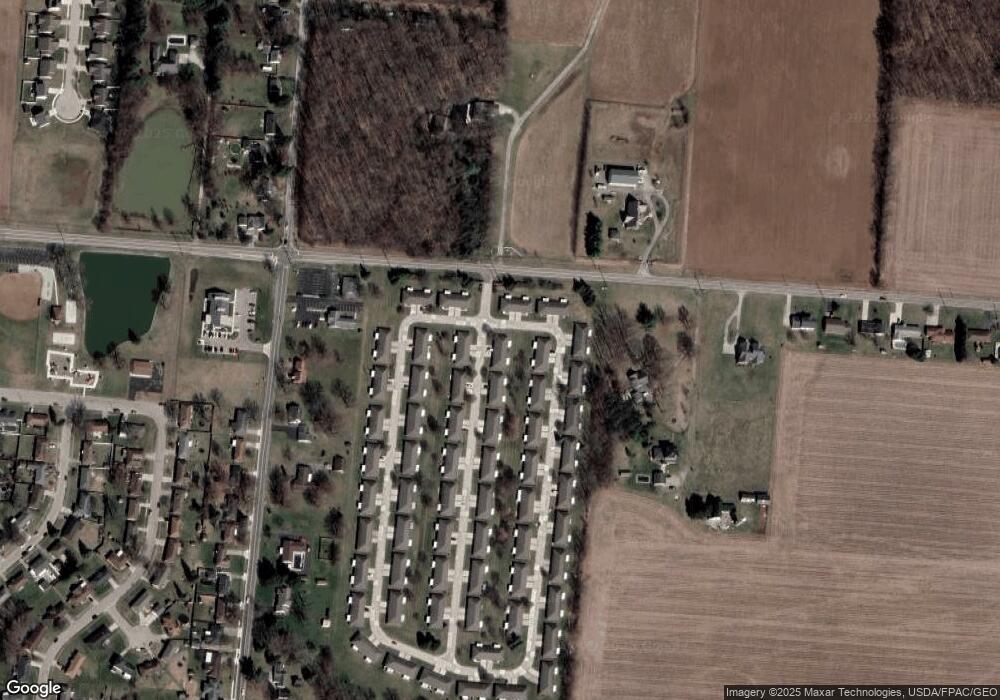
Map
Nearby Homes
- 4890 Brannan Dr W Unit 4890
- 4732 Lehigh Dr
- 4652 Reno Ln Unit 15
- 4577 Reno Ln Unit 2
- 5033 Ridgewood Rd E
- 4500 Bosart Rd
- 1521 Erika Dr
- 4446 Ridgewood Rd E Unit 3
- 1977 Willoughby Ave
- 5235 W Ridgewood Rd
- 1495 Victorian Way
- 4322 Midfield St Unit 15
- 4802 Willowbrook Dr
- 4256 Midfield St Unit 9
- 1341 Student Ave
- 4741 Cullen Ave
- 1644 Delmar Dr
- 1398 Elizabeth Ct Unit 66
- 4028 Ryland Dr Unit 4028
- 3942 Harris Ln
- 4918 Auston St Unit 4918
- 4908 Auston St Unit 4908
- 4919 Auston St
- 4948 Brannan Dr W
- 4948 Brannan Dr E Unit 4948
- 4917 Auston St
- 4911 Brannan Dr E Unit 4911
- 4909 Brannan Dr E Unit 4909
- 4946 Brannan Dr E
- 4906 Auston St
- 4907 Auston St
- 4907 Auston St
- 4907 Auston St
- 4899 Brannan Dr E
- 4951 Brannan Dr W Unit 4951
- 4951 Brannan Dr W
- 4951 Brannan Dr W
- 4936 Brannan Dr E Unit 4936
- 4897 Brannan Dr E
- 4905 Auston St
Your Personal Tour Guide
Ask me questions while you tour the home.