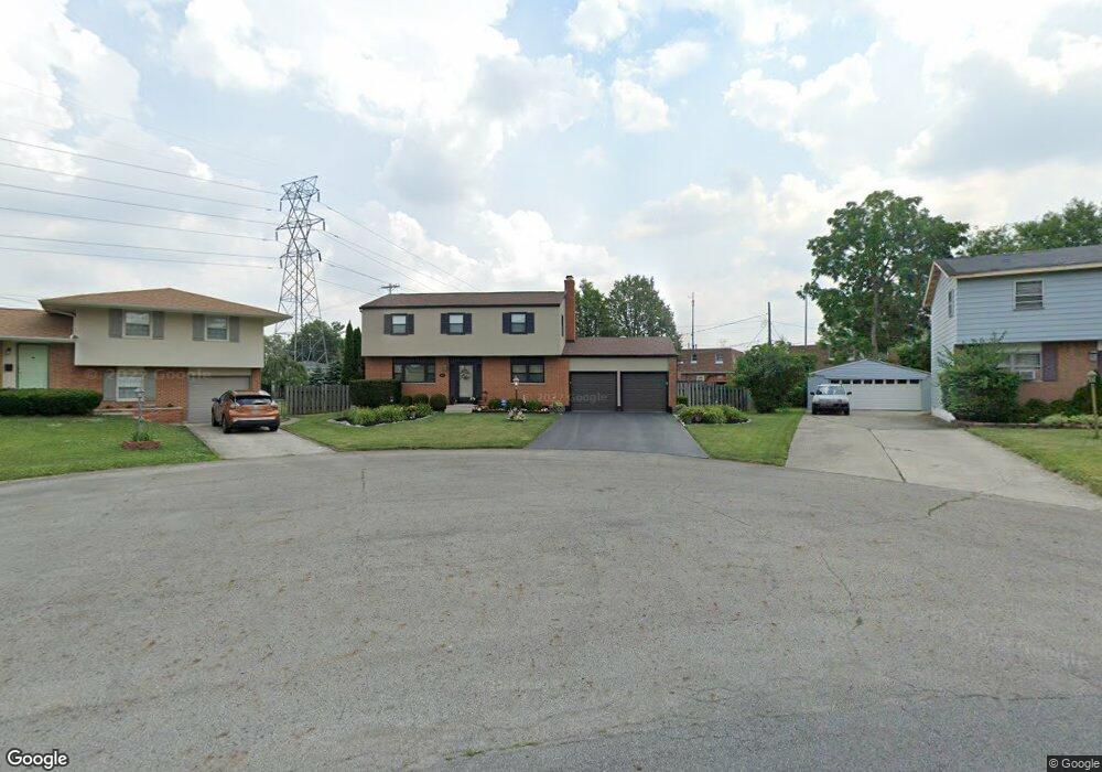
4920 Colonel Perry Dr Columbus, OH 43229
Woodward Park NeighborhoodEstimated Value: $318,000 - $371,000
4
Beds
4
Baths
2,236
Sq Ft
$154/Sq Ft
Est. Value
About This Home
This home is located at 4920 Colonel Perry Dr, Columbus, OH 43229 and is currently estimated at $343,837, approximately $153 per square foot. 4920 Colonel Perry Dr is a home located in Franklin County with nearby schools including Valley Forge Elementary School, Woodward Park Middle School, and Northland High School.
Ownership History
Date
Name
Owned For
Owner Type
Purchase Details
Closed on
Mar 26, 1981
Bought by
Norris Theresa A
Current Estimated Value
Create a Home Valuation Report for This Property
The Home Valuation Report is an in-depth analysis detailing your home's value as well as a comparison with similar homes in the area
Home Values in the Area
Average Home Value in this Area
Purchase History
| Date | Buyer | Sale Price | Title Company |
|---|---|---|---|
| Norris Theresa A | -- | -- |
Source: Public Records
Tax History
| Year | Tax Paid | Tax Assessment Tax Assessment Total Assessment is a certain percentage of the fair market value that is determined by local assessors to be the total taxable value of land and additions on the property. | Land | Improvement |
|---|---|---|---|---|
| 2025 | $4,870 | $108,510 | $23,700 | $84,810 |
| 2024 | $4,870 | $108,510 | $23,700 | $84,810 |
| 2023 | $4,808 | $108,510 | $23,700 | $84,810 |
| 2022 | $3,417 | $65,880 | $13,970 | $51,910 |
| 2021 | $3,423 | $65,880 | $13,970 | $51,910 |
| 2020 | $3,427 | $65,880 | $13,970 | $51,910 |
| 2019 | $3,175 | $52,330 | $11,170 | $41,160 |
| 2018 | $2,947 | $52,330 | $11,170 | $41,160 |
| 2017 | $3,088 | $52,330 | $11,170 | $41,160 |
| 2016 | $3,003 | $45,330 | $9,870 | $35,460 |
| 2015 | $2,726 | $45,330 | $9,870 | $35,460 |
| 2014 | $2,733 | $45,330 | $9,870 | $35,460 |
| 2013 | $1,480 | $49,770 | $10,395 | $39,375 |
Source: Public Records
Map
Nearby Homes
- 4923 Karl Rd Unit 4925
- 1485 Norma Rd
- 5004 Julie Place
- 5010 Julie Place
- 4795 Colonel Perry Dr
- 4800 Bourke Rd
- 1705 Ivyhill Loop S
- 4852 Snowbird Cir Unit 13B
- 4857 Tamarack Blvd
- 4979 Lyle Rd
- 4983 Almont Dr
- 1905 Denise Dr
- 1638 Arrowood Loop N
- 1116 Tulsa Dr
- 1469 Sandalwood Place
- 4714 Ascot Dr
- 4735 Heatherton Dr
- 5524 Driftwood Rd
- 5318 Eisenhower Rd
- 4885 Northtowne Blvd
- 1520 Fullen Rd
- 4923 Karl Rd Unit 925
- 4923 Karl Rd Unit 25
- 4923-4925 Karl Rd Unit 25
- 4917 Karl Rd Unit 919
- 4917 Karl Rd Unit 19
- 4917-4919 Karl Rd Unit 19
- 4927-4929 Karl Rd
- 4927 Karl Rd Unit 929
- 4910 Colonel Perry Dr
- 4929 Karl Rd Unit 4929
- 4909 Karl Rd Unit 911
- 4909 Karl Rd Unit 11
- 4909-4911 Karl Rd Unit 11
- 1514 Fullen Rd
- 4900 Colonel Perry Dr
- 1533 Norma Rd
- 1541 Norma Rd
- 1525 Norma Rd
- 1506 Fullen Rd
Your Personal Tour Guide
Ask me questions while you tour the home.