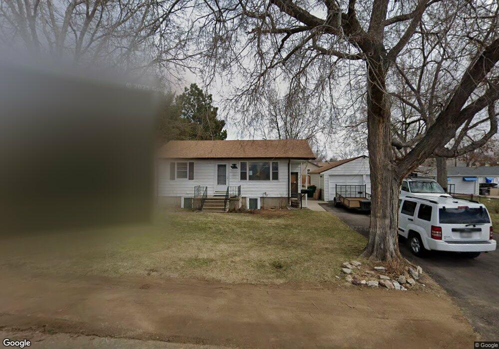
4920 Ingalls St Wheat Ridge, CO 80033
Estimated Value: $561,000 - $605,265
4
Beds
2
Baths
1,742
Sq Ft
$335/Sq Ft
Est. Value
About This Home
This home is located at 4920 Ingalls St, Wheat Ridge, CO 80033 and is currently estimated at $583,066, approximately $334 per square foot. 4920 Ingalls St is a home located in Jefferson County with nearby schools including Stevens Elementary School, Everitt Middle School, and Wheat Ridge High School.
Ownership History
Date
Name
Owned For
Owner Type
Purchase Details
Closed on
Nov 9, 2021
Sold by
Marjorie A Rohrig Trust
Bought by
Felix Luis Haro and Aragonez Karen Gomez
Current Estimated Value
Home Financials for this Owner
Home Financials are based on the most recent Mortgage that was taken out on this home.
Original Mortgage
$450,000
Outstanding Balance
$412,462
Interest Rate
3.01%
Mortgage Type
New Conventional
Estimated Equity
$170,604
Purchase Details
Closed on
Jun 19, 2015
Sold by
Rohrig Marjorie A
Bought by
Marjorie A Rohrig Trust
Create a Home Valuation Report for This Property
The Home Valuation Report is an in-depth analysis detailing your home's value as well as a comparison with similar homes in the area
Home Values in the Area
Average Home Value in this Area
Purchase History
| Date | Buyer | Sale Price | Title Company |
|---|---|---|---|
| Felix Luis Haro | $500,000 | Guardian Title | |
| Marjorie A Rohrig Trust | -- | None Available |
Source: Public Records
Mortgage History
| Date | Status | Borrower | Loan Amount |
|---|---|---|---|
| Open | Felix Luis Haro | $450,000 |
Source: Public Records
Tax History Compared to Growth
Tax History
| Year | Tax Paid | Tax Assessment Tax Assessment Total Assessment is a certain percentage of the fair market value that is determined by local assessors to be the total taxable value of land and additions on the property. | Land | Improvement |
|---|---|---|---|---|
| 2024 | $3,065 | $35,053 | $16,688 | $18,365 |
| 2023 | $3,065 | $35,053 | $16,688 | $18,365 |
| 2022 | $2,527 | $28,389 | $12,183 | $16,206 |
| 2021 | $1,935 | $29,205 | $12,533 | $16,672 |
| 2020 | $1,646 | $26,004 | $10,564 | $15,440 |
| 2019 | $1,624 | $26,004 | $10,564 | $15,440 |
| 2018 | $1,359 | $22,450 | $7,988 | $14,462 |
| 2017 | $1,227 | $22,450 | $7,988 | $14,462 |
| 2016 | $1,104 | $20,801 | $8,407 | $12,394 |
| 2015 | $751 | $20,801 | $8,407 | $12,394 |
| 2014 | $751 | $16,156 | $6,190 | $9,966 |
Source: Public Records
Map
Nearby Homes
- 4963 Harlan St
- 6105 W 49th Place
- 4880 Ingalls St
- 4860 N Harlan St
- 4860 Depew St
- 4877 Chase St
- 6247 W 53rd Ave
- 4730 Pierce St
- 5250 W 53rd Ave Unit 125
- 5250 W 53rd Ave Unit 116
- 6920 W 48th Ave Unit 6920
- 6920 W 47th Place
- 6801 W 52nd Ave
- 4755 Reed St
- 5138 W 46th Ave
- 4750 Saulsbury St
- 6933 W 52nd Place
- 4365 Kendall St
- 4541 Reed St
- 4460 Sheridan Blvd
- 6090 W 49th Place
- 4900 Ingalls St
- 6080 W 49th Place
- 4943 Harlan St
- 5225 N Ingalls St
- 4905 Harlan St
- 4945 Harlan St
- 6095 W 49th Place
- 4891 Harlan St
- 6087 W 49th Place
- 4870 Ingalls St
- 4875 Harlan St
- 4850 Ingalls St
- 4975 Harlan St
- 4900 Harlan St
- 4896 Harlan St
- 4918 Harlan St
- 4926 Harlan St
- 4890 Harlan St
- 4985 Harlan St