4920 Lower MacUngie Rd Macungie, PA 18062
Lower Macungie Township East NeighborhoodEstimated Value: $721,000 - $1,084,000
4
Beds
3
Baths
3,501
Sq Ft
$240/Sq Ft
Est. Value
About This Home
This home is located at 4920 Lower MacUngie Rd, Macungie, PA 18062 and is currently estimated at $840,800, approximately $240 per square foot. 4920 Lower MacUngie Rd is a home located in Lehigh County with nearby schools including Macungie Elementary School, Eyer Middle School, and Emmaus High School.
Ownership History
Date
Name
Owned For
Owner Type
Purchase Details
Closed on
Jun 28, 2004
Sold by
Mcconnel Marilyn S
Bought by
Springs K Kurt and Abdalla Lisa Marie
Current Estimated Value
Home Financials for this Owner
Home Financials are based on the most recent Mortgage that was taken out on this home.
Original Mortgage
$275,000
Outstanding Balance
$138,104
Interest Rate
6.3%
Mortgage Type
Purchase Money Mortgage
Estimated Equity
$702,696
Purchase Details
Closed on
Jan 17, 2000
Sold by
Mcconnel Marilyn S
Bought by
Mcconnel Marilyn S and Trust Agreement Of Marilyn S Mcconnel
Purchase Details
Closed on
Jun 16, 1985
Sold by
Hakanson Alan H and Margaret Ann
Bought by
Mcconnel Charles S and Mcconnel Marilyn S
Create a Home Valuation Report for This Property
The Home Valuation Report is an in-depth analysis detailing your home's value as well as a comparison with similar homes in the area
Home Values in the Area
Average Home Value in this Area
Purchase History
| Date | Buyer | Sale Price | Title Company |
|---|---|---|---|
| Springs K Kurt | $550,000 | -- | |
| Mcconnel Marilyn S | -- | -- | |
| Mcconnel Marilyn S | -- | -- | |
| Mcconnel Charles S | $275,000 | -- |
Source: Public Records
Mortgage History
| Date | Status | Borrower | Loan Amount |
|---|---|---|---|
| Open | Springs K Kurt | $275,000 |
Source: Public Records
Tax History Compared to Growth
Tax History
| Year | Tax Paid | Tax Assessment Tax Assessment Total Assessment is a certain percentage of the fair market value that is determined by local assessors to be the total taxable value of land and additions on the property. | Land | Improvement |
|---|---|---|---|---|
| 2025 | $10,825 | $424,000 | $90,000 | $334,000 |
| 2024 | $10,473 | $424,000 | $90,000 | $334,000 |
| 2023 | $10,264 | $424,000 | $90,000 | $334,000 |
| 2022 | $10,021 | $424,000 | $334,000 | $90,000 |
| 2021 | $9,808 | $424,000 | $90,000 | $334,000 |
| 2020 | $9,714 | $424,000 | $90,000 | $334,000 |
| 2019 | $9,549 | $424,000 | $90,000 | $334,000 |
| 2018 | $9,423 | $424,000 | $90,000 | $334,000 |
| 2017 | $9,259 | $424,000 | $90,000 | $334,000 |
| 2016 | -- | $424,000 | $90,000 | $334,000 |
| 2015 | -- | $424,000 | $90,000 | $334,000 |
| 2014 | -- | $424,000 | $90,000 | $334,000 |
Source: Public Records
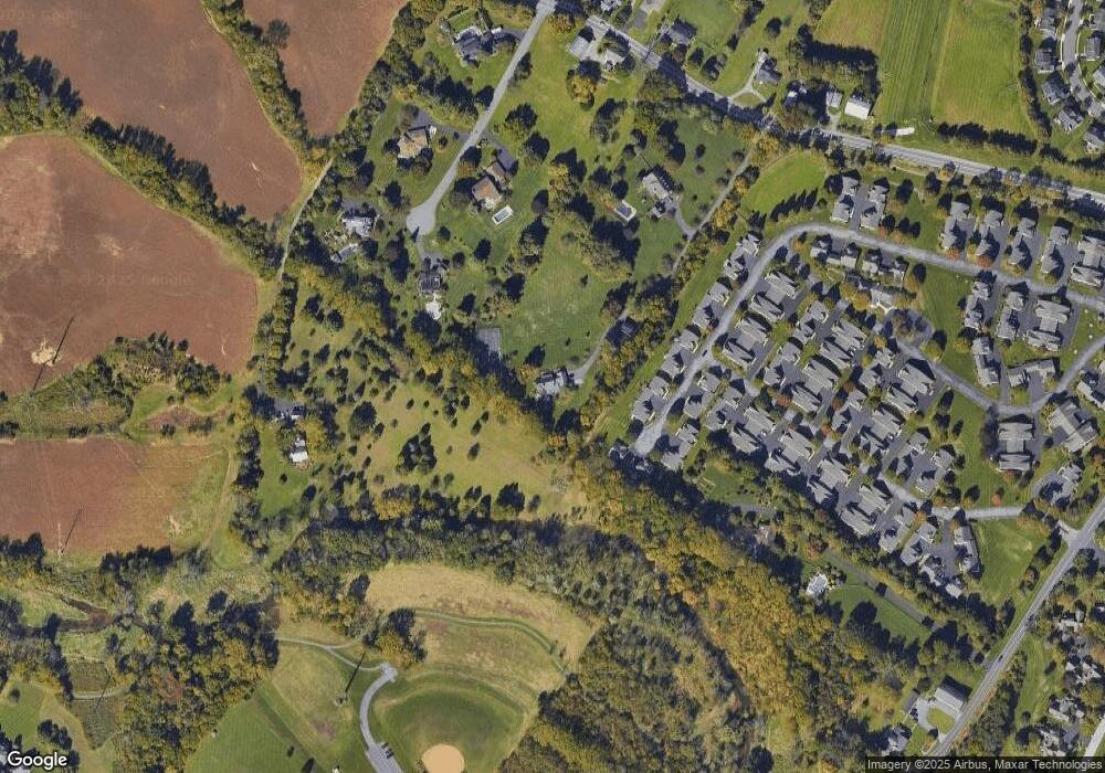
Map
Nearby Homes
- 4762 Steeplechase Dr Unit 13C
- 5175 Meadowview Dr
- 2173 Brookside Rd
- 2560 Gracie Lone
- 2518 Stanford Cir
- 2041 Gregory Dr
- Penny Plan at Mountainview Estates
- 2570 Millbrook Dr
- 2096 Gregory Dr
- 2691 Terrwood Dr W Unit 176
- 2153 Isabel Ln
- 1675 Hamlet Dr
- 2117 Isabel Ln
- 5280 Townsquare Dr
- 1991 Autumn Ridge Rd
- 5133 Meadow Ln
- 2834 Sheffield Dr
- 4804 Parkview Dr S
- 2056 Autumn Ridge Rd
- 5706 Whitemarsh Dr
- 4933 Steeplechase Dr Unit 32B
- 5070 Westfield Dr
- 4948 Steeplechase Dr Unit 34B
- 4923 Steeplechase Dr Unit 30B
- 4940 Steeplechase Dr Unit 33B
- 4938 Steeplechase Dr Unit 33A
- 4930 Steeplechase Dr Unit 31B
- 4921 Steeplechase Dr Unit 30A
- 4928 Steeplechase Dr
- 4916 Steeplechase Dr Unit 29A
- 5040 Westfield Dr
- 4913 Steeplechase Dr Unit 28B
- 4878 Derby Ln Unit 35A
- 4911 Steeplechase Dr Unit 28A
- 4876 Derby Ln Unit 35B
- 4874 Derby Ln Unit 37B
- 4910 Steeplechase Dr
- 4872 Derby Ln
- 4877 Derby Ln
- 4908 Steeplechase Dr