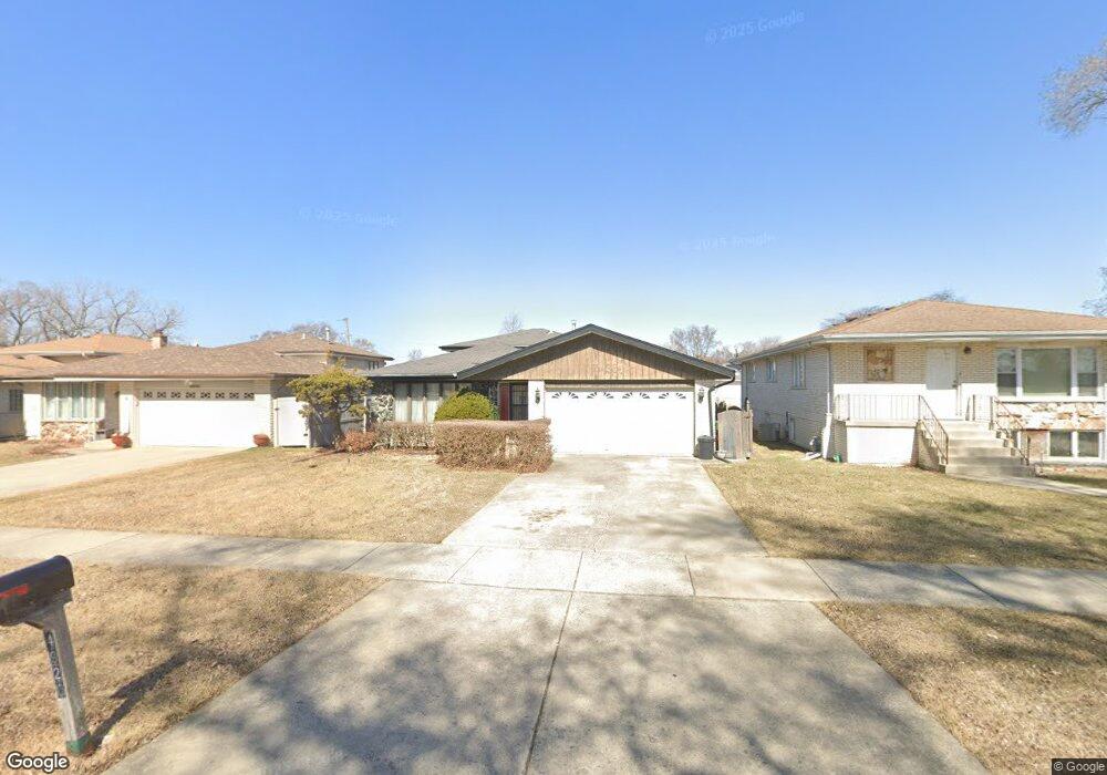
4920 W 86th St Burbank, IL 60459
Estimated Value: $330,000 - $378,000
3
Beds
2
Baths
1,292
Sq Ft
$277/Sq Ft
Est. Value
About This Home
This home is located at 4920 W 86th St, Burbank, IL 60459 and is currently estimated at $358,130, approximately $277 per square foot. 4920 W 86th St is a home located in Cook County with nearby schools including Richard Byrd Elementary School, Reavis High School, and St Bede-Venerable School.
Ownership History
Date
Name
Owned For
Owner Type
Purchase Details
Closed on
Feb 10, 2006
Sold by
Topel Arthur R and Topel Martha M
Bought by
Bank Financial Fsb and Trust #010882
Current Estimated Value
Purchase Details
Closed on
Jan 26, 1996
Sold by
Seale Jack W and Seale Therese J
Bought by
Topel Arthur R and Topel Martha M
Home Financials for this Owner
Home Financials are based on the most recent Mortgage that was taken out on this home.
Original Mortgage
$130,000
Interest Rate
8%
Create a Home Valuation Report for This Property
The Home Valuation Report is an in-depth analysis detailing your home's value as well as a comparison with similar homes in the area
Home Values in the Area
Average Home Value in this Area
Purchase History
| Date | Buyer | Sale Price | Title Company |
|---|---|---|---|
| Bank Financial Fsb | -- | None Available | |
| Topel Arthur R | $162,000 | Lawyers Title Insurance Corp |
Source: Public Records
Mortgage History
| Date | Status | Borrower | Loan Amount |
|---|---|---|---|
| Previous Owner | Topel Arthur R | $130,000 |
Source: Public Records
Tax History Compared to Growth
Tax History
| Year | Tax Paid | Tax Assessment Tax Assessment Total Assessment is a certain percentage of the fair market value that is determined by local assessors to be the total taxable value of land and additions on the property. | Land | Improvement |
|---|---|---|---|---|
| 2024 | $8,280 | $30,001 | $6,318 | $23,683 |
| 2023 | $6,427 | $30,001 | $6,318 | $23,683 |
| 2022 | $6,427 | $20,086 | $5,486 | $14,600 |
| 2021 | $6,183 | $20,086 | $5,486 | $14,600 |
| 2020 | $6,822 | $22,267 | $5,486 | $16,781 |
| 2019 | $6,395 | $21,279 | $4,987 | $16,292 |
| 2018 | $6,211 | $21,279 | $4,987 | $16,292 |
| 2017 | $6,532 | $22,783 | $4,987 | $17,796 |
| 2016 | $4,964 | $16,585 | $4,156 | $12,429 |
| 2015 | $4,736 | $16,585 | $4,156 | $12,429 |
| 2014 | $5,590 | $19,557 | $4,156 | $15,401 |
| 2013 | $5,739 | $21,720 | $4,156 | $17,564 |
Source: Public Records
Map
Nearby Homes
- 8650 Laporte Ave Unit 2B
- 8554 S Keating Ave
- 8605 Leclaire Ave
- 10810 S Kilpatrick Ave Unit 1NE
- 8737 Sproat Ave Unit 2
- 4605 W 84th Place
- 8618 S Kolmar Ave
- 8743 S Kenton Ave
- 8845 S 51st Ave
- 5023 W 81st St
- 8772 S Kolmar Ave
- 8650 Lockwood Ave
- 5175 W 88th Place
- 4536 W 83rd St
- 8528 Lorel Ave
- 8100 S Kilpatrick Ave
- 4421 W 87th St
- 9005 S 49th Ct
- 5400 W 85th St
- 9020 S 49th Ave
- 4910 W 86th St
- 4930 W 86th St
- 4940 W 86th St
- 4921 W 85th Place
- 4925 W 85th Place
- 4917 W 85th Place
- 8536 Lamon Ave
- 8540 Lamon Ave
- 4944 W 86th St
- 8609 Laporte Ave
- 8530 Lamon Ave
- 4948 W 86th St
- 4957 W 86th St
- 4959 W 86th St
- 8600 Lamon Ave
- 8526 Lamon Ave
- 4949 W 85th Place
- 8600 Laporte Ave
- 8619 Laporte Ave
- 8608 Lamon Ave