4920 Wherry Ln Catawba, NC 28609
Estimated Value: $280,609 - $523,000
3
Beds
3
Baths
1,784
Sq Ft
$227/Sq Ft
Est. Value
About This Home
This home is located at 4920 Wherry Ln, Catawba, NC 28609 and is currently estimated at $404,652, approximately $226 per square foot. 4920 Wherry Ln is a home located in Catawba County with nearby schools including Catawba Elementary School, Bandys High School, and Mill Creek Middle School.
Ownership History
Date
Name
Owned For
Owner Type
Purchase Details
Closed on
Sep 16, 2022
Sold by
Edwards Sr Robert W and Edwards Nancy S
Bought by
Edwards Michael Brandon and Edwards Hanna Greene
Current Estimated Value
Purchase Details
Closed on
Jun 1, 1980
Bought by
Edwards Robert W and Edwards Nancy S
Purchase Details
Closed on
Jan 5, 1976
Sold by
Stewart Flora
Bought by
Edwards Robert W
Create a Home Valuation Report for This Property
The Home Valuation Report is an in-depth analysis detailing your home's value as well as a comparison with similar homes in the area
Home Values in the Area
Average Home Value in this Area
Purchase History
| Date | Buyer | Sale Price | Title Company |
|---|---|---|---|
| Edwards Michael Brandon | -- | -- | |
| Edwards Robert W | $75,000 | -- | |
| Edwards Robert W | $5,000 | -- |
Source: Public Records
Tax History Compared to Growth
Tax History
| Year | Tax Paid | Tax Assessment Tax Assessment Total Assessment is a certain percentage of the fair market value that is determined by local assessors to be the total taxable value of land and additions on the property. | Land | Improvement |
|---|---|---|---|---|
| 2025 | $654 | $129,400 | $129,400 | $0 |
| 2024 | $654 | $129,400 | $129,400 | $0 |
| 2023 | $654 | $308,900 | $143,300 | $165,600 |
| 2022 | $2,178 | $308,900 | $143,300 | $165,600 |
| 2021 | $2,178 | $308,900 | $143,300 | $165,600 |
| 2020 | $2,178 | $308,900 | $143,300 | $165,600 |
| 2019 | $2,178 | $308,900 | $0 | $0 |
| 2018 | $2,090 | $309,600 | $140,700 | $168,900 |
| 2017 | $2,090 | $0 | $0 | $0 |
| 2016 | $2,090 | $0 | $0 | $0 |
| 2015 | $2,153 | $309,600 | $140,700 | $168,900 |
| 2014 | $2,153 | $358,900 | $190,200 | $168,700 |
Source: Public Records
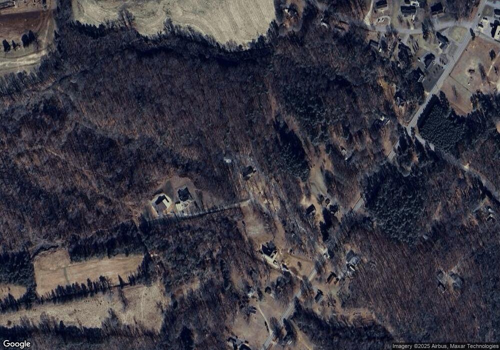
Map
Nearby Homes
- 5029 E North Carolina 10 Hwy Unit 6
- 2363 Edna St
- 2404 Trollinger Dr
- 2122 Hewitt Rd
- 4974 6th St SW
- 335 Rosenwald School St
- 2230 Catawba Trace Dr
- 0 Brandon Dr Unit 5-8
- 2206 Catawba Trace Dr
- 2239 Catawba Trace Dr
- The Lawson Plan at Catawba Trace
- The Harrington Plan at Catawba Trace
- The Coleman Plan at Catawba Trace
- The Caldwell Plan at Catawba Trace
- The Braselton II Plan at Catawba Trace
- The Benson II Plan at Catawba Trace
- The Piedmont Plan at Catawba Trace
- 2190 Catawba Trace Dr
- 2186 Catawba Trace Dr
- 2174 Catawba Trace Dr
- 4860 Wherry Ln
- 4992 E Nc 10 Hwy
- 4974 E Nc 10 Hwy
- 5004 E Nc 10 Hwy
- 4968 E Nc 10 Hwy
- 5028 E Nc 10 Hwy
- 4956 E Nc 10 Hwy
- 4956 E Nc 10 Hwy
- 4859 E Nc 10 Hwy
- 4993 E Nc 10 Hwy
- 4979 E Nc 10 Hwy
- 4934 E Nc 10 Hwy
- 5007 E North Carolina 10 Hwy
- 5009 E North Carolina 10 Hwy
- 4949 E Nc 10 Hwy
- 4965 E Nc 10 Hwy
- 5068 E Nc 10 Hwy
- 5068 E Hwy 10 None
- 5052 E Nc 10 Hwy
- 5029 E Nc 10 Hwy