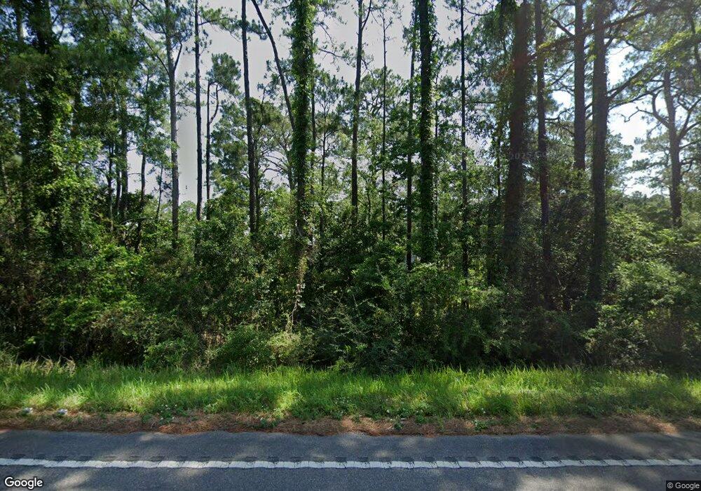
4920A Highway 188 Coden, AL 36523
Heron Bay NeighborhoodEstimated Value: $278,000 - $386,005
Studio
2
Baths
2,481
Sq Ft
$138/Sq Ft
Est. Value
About This Home
This home is located at 4920A Highway 188, Coden, AL 36523 and is currently estimated at $342,251, approximately $137 per square foot. 4920A Highway 188 is a home located in Mobile County with nearby schools including Anna F. Booth Elementary School, Alba Middle School, and Alma Bryant High School.
Ownership History
Date
Name
Owned For
Owner Type
Purchase Details
Closed on
Jul 1, 2019
Sold by
Zirlott Angela Christine and Tuck Kelly
Bought by
Carpenter Christopher and Mchugh Jamie
Current Estimated Value
Home Financials for this Owner
Home Financials are based on the most recent Mortgage that was taken out on this home.
Original Mortgage
$75,200
Outstanding Balance
$65,456
Interest Rate
3.82%
Mortgage Type
New Conventional
Estimated Equity
$276,795
Purchase Details
Closed on
Dec 17, 2018
Sold by
Zirlott Rosalie M and Zirlott Milton Perry
Bought by
Zirlott Rosalie M
Purchase Details
Closed on
Apr 25, 2018
Sold by
Brown Walter Jason
Bought by
Brown Angela Zirlott and Brown Angela
Purchase Details
Closed on
Aug 7, 2015
Sold by
Zirlott Milton and Zirlott Rosalie Marie
Bought by
Tillman Kurt
Create a Home Valuation Report for This Property
The Home Valuation Report is an in-depth analysis detailing your home's value as well as a comparison with similar homes in the area
Home Values in the Area
Average Home Value in this Area
Purchase History
| Date | Buyer | Sale Price | Title Company |
|---|---|---|---|
| Carpenter Christopher | $90,000 | None Available | |
| Zirlott Rosalie M | -- | None Available | |
| Brown Angela Zirlott | -- | None Available | |
| Tillman Kurt | $38,500 | None Available |
Source: Public Records
Mortgage History
| Date | Status | Borrower | Loan Amount |
|---|---|---|---|
| Open | Carpenter Christopher | $75,200 |
Source: Public Records
Tax History
| Year | Tax Paid | Tax Assessment Tax Assessment Total Assessment is a certain percentage of the fair market value that is determined by local assessors to be the total taxable value of land and additions on the property. | Land | Improvement |
|---|---|---|---|---|
| 2025 | $2,943 | $29,980 | $8,090 | $21,890 |
| 2024 | $2,943 | $28,880 | $8,230 | $20,650 |
| 2023 | $2,836 | $26,000 | $7,050 | $18,950 |
| 2022 | $2,522 | $26,000 | $7,050 | $18,950 |
| 2021 | $2,101 | $21,660 | $2,710 | $18,950 |
| 2020 | $2,138 | $22,040 | $1,620 | $20,420 |
| 2019 | $1,946 | $20,060 | $1,620 | $18,440 |
| 2018 | $1,946 | $40,120 | $0 | $0 |
| 2017 | $1,981 | $40,120 | $0 | $0 |
| 2016 | $810 | $20,260 | $0 | $0 |
| 2013 | $1,199 | $28,420 | $0 | $0 |
Source: Public Records
Map
Nearby Homes
- 15479 Green Dr
- 5250 Lossing Rd Unit 2
- 0 Bellingrath Rd Unit 17356630
- 0 Johnson Rd
- 0 Bayou Shores Dr Unit 389041
- 0 Bayou Shores Dr Unit 7496968
- 4737 Bayou Shores Dr
- 0 Bayou Pines Rd
- 14165 River Oaks Dr
- 14165 River Oaks Dr Unit A & B
- 0 Washington Ave
- 0 Michigan Ave Unit 7667677
- 0 Michigan Ave Unit 7667695
- 0 Michigan Ave Unit 16-20 376275
- 0 Michigan Ave Unit 7546720
- 0 Michigan Ave Unit 7693042
- 16045 Williams St Unit 1
- 16045 Williams St
- 1869 Cedar Creek Cir
- 0 Highway 188 Unit 7708364
- 4820B Highway 188
- 4920A Highway 188 Unit B
- 4850 Highway 188
- 4800 Highway 188
- 42 Morris Dr Unit 42
- 15250 Morris Dr
- 4801 Highway 188
- 15274 Morris Dr
- 15271 Morris Dr
- 15270 Morris Dr
- 4880 Highway 188
- 15300 Morris Dr
- 15290 Delta Port Blvd
- 15300 Delta Port Blvd
- 15310 Delta Port Blvd Unit LOT 36
- 4921 Highway 188
- 15325 Morris Dr
- 15320 Delta Port Blvd
- 15295 Mcgraw Blvd
- 4920 Highway 188
