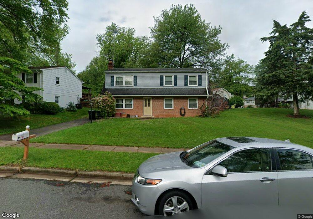
4921 Lombard Ln Woodbridge, VA 22193
Lindendale NeighborhoodEstimated Value: $448,165 - $491,000
4
Beds
2
Baths
988
Sq Ft
$484/Sq Ft
Est. Value
About This Home
This home is located at 4921 Lombard Ln, Woodbridge, VA 22193 and is currently estimated at $478,291, approximately $484 per square foot. 4921 Lombard Ln is a home located in Prince William County with nearby schools including Enterprise Elementary School, C.D. Hylton High School, and Stuart M. Beville Middle School.
Ownership History
Date
Name
Owned For
Owner Type
Purchase Details
Closed on
Jul 8, 2009
Sold by
Lara Maritza D
Bought by
Amezquita Alvaro L
Current Estimated Value
Purchase Details
Closed on
Sep 5, 2000
Sold by
Stevenson Lee A
Bought by
Amezquita Alvaro L
Home Financials for this Owner
Home Financials are based on the most recent Mortgage that was taken out on this home.
Original Mortgage
$132,904
Interest Rate
8.1%
Create a Home Valuation Report for This Property
The Home Valuation Report is an in-depth analysis detailing your home's value as well as a comparison with similar homes in the area
Home Values in the Area
Average Home Value in this Area
Purchase History
| Date | Buyer | Sale Price | Title Company |
|---|---|---|---|
| Amezquita Alvaro L | -- | None Available | |
| Amezquita Alvaro L | $134,000 | -- |
Source: Public Records
Mortgage History
| Date | Status | Borrower | Loan Amount |
|---|---|---|---|
| Previous Owner | Amezquita Alvaro L | $132,904 |
Source: Public Records
Tax History Compared to Growth
Tax History
| Year | Tax Paid | Tax Assessment Tax Assessment Total Assessment is a certain percentage of the fair market value that is determined by local assessors to be the total taxable value of land and additions on the property. | Land | Improvement |
|---|---|---|---|---|
| 2025 | $3,686 | $402,800 | $144,600 | $258,200 |
| 2024 | $3,686 | $370,600 | $134,600 | $236,000 |
| 2023 | $3,739 | $359,300 | $131,800 | $227,500 |
| 2022 | $3,912 | $342,900 | $122,000 | $220,900 |
| 2021 | $3,861 | $313,300 | $109,800 | $203,500 |
| 2020 | $4,180 | $269,700 | $103,600 | $166,100 |
| 2019 | $4,139 | $267,000 | $99,600 | $167,400 |
| 2018 | $3,067 | $254,000 | $96,600 | $157,400 |
| 2017 | $2,975 | $237,500 | $91,100 | $146,400 |
| 2016 | $2,857 | $229,900 | $88,500 | $141,400 |
| 2015 | $2,636 | $219,600 | $85,600 | $134,000 |
| 2014 | $2,636 | $207,000 | $83,100 | $123,900 |
Source: Public Records
Map
Nearby Homes
- 13871 Langstone Dr
- 13737 Moccasin Ct
- 13918 Lynhurst Dr
- 4903 Kenyon Ct
- 13652 Kingsman Rd
- 13441 Kerr Ct
- 13546 Kaslo Dr
- 5308 Macwood Dr
- 4700 Korvett Dr
- 13626 Kingsman Rd
- 4690 Pearson Dr
- 13707 Mapledale Ave
- 14072 Oxbridge Inn Ct
- 5208 Quiet Place
- 5020 Quinlan Dr
- 14160 Landon Ln
- 13424 Keating Dr
- 13612 Kerrydale Rd
- 14010 Mapledale Ave
- 4736 Kirkdale Dr
- 4919 Lombard Ln
- 13627 Lindendale Rd
- 13629 Lindendale Rd
- 13631 Lindendale Rd
- 13750 Langley Ct
- 13752 Langley Ct
- 4918 Lombard Ln
- 4920 Lombard Ln
- 4916 Lombard Ln
- 13633 Lindendale Rd
- 4922 Lombard Ln
- 4924 Lombard Ln
- 13754 Langley Ct
- 4914 Lombard Ln
- 13624 Lindendale Rd
- 13635 Lindendale Rd
- 13626 Lindendale Rd
- 13622 Lindendale Rd
- 13628 Lindendale Rd
- 13620 Lindendale Rd