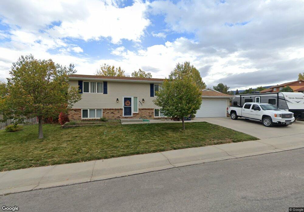
4921 S Elm St Casper, WY 82601
Central Casper NeighborhoodEstimated Value: $324,000 - $337,000
2
Beds
2
Baths
1,208
Sq Ft
$275/Sq Ft
Est. Value
About This Home
This home is located at 4921 S Elm St, Casper, WY 82601 and is currently estimated at $331,723, approximately $274 per square foot. 4921 S Elm St is a home located in Natrona County with nearby schools including Mountain Road Christian Academy.
Ownership History
Date
Name
Owned For
Owner Type
Purchase Details
Closed on
Jan 21, 2022
Sold by
Lara Damian W and Lara Chelse J
Bought by
Depaolo-Lara Family Living Trust
Current Estimated Value
Home Financials for this Owner
Home Financials are based on the most recent Mortgage that was taken out on this home.
Original Mortgage
$137,000
Outstanding Balance
$107,966
Interest Rate
2.43%
Mortgage Type
New Conventional
Estimated Equity
$223,757
Purchase Details
Closed on
Nov 21, 2018
Sold by
Lara Damian W
Bought by
Lara Damian W and Depaolo-Lara Chelse J
Create a Home Valuation Report for This Property
The Home Valuation Report is an in-depth analysis detailing your home's value as well as a comparison with similar homes in the area
Home Values in the Area
Average Home Value in this Area
Purchase History
| Date | Buyer | Sale Price | Title Company |
|---|---|---|---|
| Depaolo-Lara Family Living Trust | -- | American Title Company | |
| Lara Damian W | -- | None Available |
Source: Public Records
Mortgage History
| Date | Status | Borrower | Loan Amount |
|---|---|---|---|
| Open | Depaolo-Lara Family Living Trust | $137,000 |
Source: Public Records
Tax History Compared to Growth
Tax History
| Year | Tax Paid | Tax Assessment Tax Assessment Total Assessment is a certain percentage of the fair market value that is determined by local assessors to be the total taxable value of land and additions on the property. | Land | Improvement |
|---|---|---|---|---|
| 2025 | $1,513 | $21,066 | $4,260 | $16,806 |
| 2024 | $1,973 | $27,471 | $6,362 | $21,109 |
| 2023 | $2,011 | $27,596 | $7,264 | $20,332 |
| 2022 | $1,839 | $25,229 | $6,524 | $18,705 |
| 2021 | $1,610 | $22,090 | $6,980 | $15,110 |
| 2020 | $1,715 | $23,522 | $9,624 | $13,898 |
| 2019 | $1,548 | $21,237 | $4,741 | $16,496 |
| 2018 | $1,485 | $20,377 | $4,741 | $15,636 |
| 2017 | $1,529 | $20,974 | $5,673 | $15,301 |
| 2015 | $1,375 | $18,868 | $5,673 | $13,194 |
| 2014 | $1,358 | $18,637 | $5,673 | $12,964 |
Source: Public Records
Map
Nearby Homes
- 5021 S David St
- 4721 S Oak St
- 5111 S David St
- 5131 S David St
- 0 Wyoming Blvd
- 5411 S David St
- 1121 Goodstein Dr
- 1786 Goodstein Dr
- 1800 Goodstein Dr
- 1776 Goodstein Dr
- 1041 Goodstein Dr
- 5810 S Oak St
- 0 Serenity Ln
- 0 Harmony Hills Unit 20253916
- 6020 S Spruce St
- 4460 S Poplar #308c St
- 4500 S Poplar Unit 212 A St
- 4500 S Poplar #311a St
- 4440 S Poplar St
- 4271 S Coffman Ave