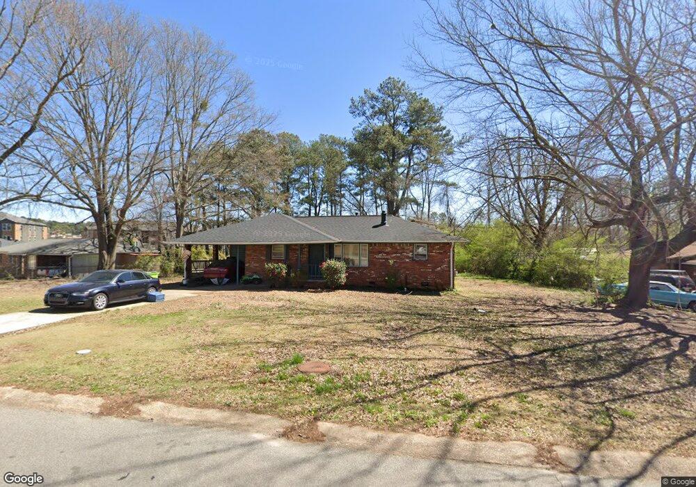
4921 White Blvd SW Mableton, GA 30126
Estimated Value: $223,000 - $252,000
3
Beds
2
Baths
1,075
Sq Ft
$221/Sq Ft
Est. Value
About This Home
This home is located at 4921 White Blvd SW, Mableton, GA 30126 and is currently estimated at $237,197, approximately $220 per square foot. 4921 White Blvd SW is a home located in Cobb County with nearby schools including Deerwood Elementary School, Mableton Elementary School, and Floyd Middle School.
Ownership History
Date
Name
Owned For
Owner Type
Purchase Details
Closed on
Nov 28, 2006
Sold by
Ivey Michael
Bought by
2675 Fraser Road Llc
Current Estimated Value
Purchase Details
Closed on
Jul 20, 2006
Sold by
Jean Rose J
Bought by
Ivey Michael
Home Financials for this Owner
Home Financials are based on the most recent Mortgage that was taken out on this home.
Original Mortgage
$11,000
Interest Rate
6.68%
Mortgage Type
Stand Alone Refi Refinance Of Original Loan
Purchase Details
Closed on
Dec 10, 2002
Sold by
Lawrence Terry A
Bought by
Jean Rose Renee
Home Financials for this Owner
Home Financials are based on the most recent Mortgage that was taken out on this home.
Original Mortgage
$106,400
Interest Rate
6.16%
Mortgage Type
New Conventional
Create a Home Valuation Report for This Property
The Home Valuation Report is an in-depth analysis detailing your home's value as well as a comparison with similar homes in the area
Home Values in the Area
Average Home Value in this Area
Purchase History
| Date | Buyer | Sale Price | Title Company |
|---|---|---|---|
| 2675 Fraser Road Llc | -- | -- | |
| Ivey Michael | $110,000 | -- | |
| Jean Rose Renee | $112,000 | -- |
Source: Public Records
Mortgage History
| Date | Status | Borrower | Loan Amount |
|---|---|---|---|
| Previous Owner | Ivey Michael | $11,000 | |
| Previous Owner | Jean Rose Renee | $106,400 |
Source: Public Records
Tax History Compared to Growth
Tax History
| Year | Tax Paid | Tax Assessment Tax Assessment Total Assessment is a certain percentage of the fair market value that is determined by local assessors to be the total taxable value of land and additions on the property. | Land | Improvement |
|---|---|---|---|---|
| 2025 | $2,800 | $92,944 | $26,000 | $66,944 |
| 2024 | $1,966 | $65,200 | $12,000 | $53,200 |
| 2023 | $1,966 | $65,200 | $12,000 | $53,200 |
| 2022 | $1,979 | $65,200 | $12,000 | $53,200 |
| 2021 | $1,255 | $41,348 | $7,200 | $34,148 |
| 2020 | $1,255 | $41,348 | $7,200 | $34,148 |
| 2019 | $1,255 | $41,348 | $7,200 | $34,148 |
| 2018 | $930 | $30,644 | $7,200 | $23,444 |
| 2017 | $788 | $27,404 | $6,000 | $21,404 |
| 2016 | $602 | $20,948 | $6,000 | $14,948 |
| 2015 | $488 | $16,560 | $4,000 | $12,560 |
| 2014 | $492 | $16,560 | $0 | $0 |
Source: Public Records
Map
Nearby Homes
- 4167 Waratah Way
- 4938 White Blvd SW
- 875 Joseph Club Dr SW
- 854 Joseph Club Dr SW
- Madeline-Townhome Plan at Park View Reserve - Hometown Series
- 684 Sundial Ln
- 680 Sundial Ln
- 4976 Mable Lake Dr SW
- 4672 Vernon Dr SW
- 1047 Retner Dr SW
- 4397 Treadle Rd SW
- 1056 Retner Dr SW Unit 3
- 4589 Moray Dr
- 4561 Moray Dr
- 4593 Moray Dr
- 4585 Moray Dr
- 4557 Moray Dr
- 4577 Moray Dr
- 4573 Moray Dr
- 4553 Moray Dr
- 4919 White Blvd SW
- 4923 White Blvd SW
- 4922 White Blvd SW
- 4925 White Blvd SW
- 4943 White Blvd SW
- 4917 White Blvd SW
- 888 Woodward Cir SW
- 4916 White Blvd SW
- 4927 White Blvd SW
- 4171 Waratah Way
- 4942 White Blvd SW
- 899 Woodward Cir SW
- 900 Woodward Cir SW
- 4187 Waratah Way
- 4946 White Blvd SW
- 4915 White Blvd SW
- 4929 White Blvd SW
- 909 Woodward Cir SW
- 912 Woodward Cir SW
- 4174 Waratah Way