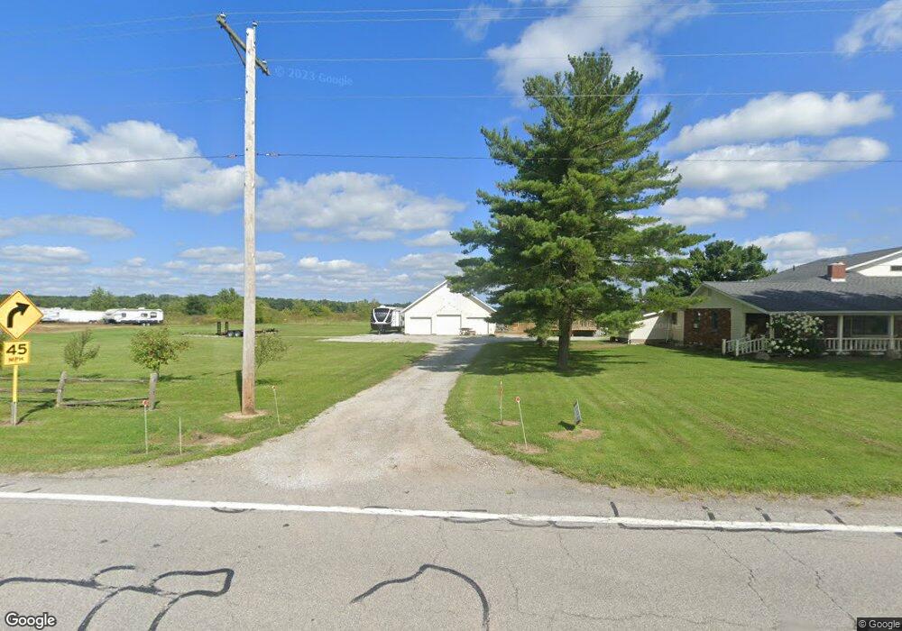
49226 State Route 511 Amherst, OH 44001
Estimated Value: $435,000 - $519,000
4
Beds
3
Baths
2,988
Sq Ft
$156/Sq Ft
Est. Value
About This Home
This home is located at 49226 State Route 511, Amherst, OH 44001 and is currently estimated at $464,803, approximately $155 per square foot. 49226 State Route 511 is a home located in Lorain County with nearby schools including Firelands Elementary School, Firelands Middle School, and Firelands High School.
Ownership History
Date
Name
Owned For
Owner Type
Purchase Details
Closed on
May 7, 2018
Sold by
Buchs Thimothy A
Bought by
Ross Dustin C
Current Estimated Value
Home Financials for this Owner
Home Financials are based on the most recent Mortgage that was taken out on this home.
Original Mortgage
$227,050
Outstanding Balance
$195,498
Interest Rate
4.4%
Mortgage Type
New Conventional
Estimated Equity
$269,305
Create a Home Valuation Report for This Property
The Home Valuation Report is an in-depth analysis detailing your home's value as well as a comparison with similar homes in the area
Home Values in the Area
Average Home Value in this Area
Purchase History
| Date | Buyer | Sale Price | Title Company |
|---|---|---|---|
| Ross Dustin C | $239,000 | -- |
Source: Public Records
Mortgage History
| Date | Status | Borrower | Loan Amount |
|---|---|---|---|
| Open | Ross Dustin C | $227,050 |
Source: Public Records
Tax History Compared to Growth
Tax History
| Year | Tax Paid | Tax Assessment Tax Assessment Total Assessment is a certain percentage of the fair market value that is determined by local assessors to be the total taxable value of land and additions on the property. | Land | Improvement |
|---|---|---|---|---|
| 2024 | $5,346 | $123,547 | $16,793 | $106,754 |
| 2023 | $4,602 | $94,889 | $16,821 | $78,068 |
| 2022 | $4,443 | $94,889 | $16,821 | $78,068 |
| 2021 | $4,440 | $94,889 | $16,821 | $78,068 |
| 2020 | $4,023 | $81,950 | $14,530 | $67,420 |
| 2019 | $3,994 | $81,950 | $14,530 | $67,420 |
| 2018 | $3,661 | $81,950 | $14,530 | $67,420 |
| 2017 | $3,364 | $78,140 | $15,500 | $62,640 |
| 2016 | $3,392 | $78,140 | $15,500 | $62,640 |
| 2015 | $3,395 | $78,140 | $15,500 | $62,640 |
| 2014 | $3,252 | $73,940 | $14,670 | $59,270 |
| 2013 | $3,175 | $73,940 | $14,670 | $59,270 |
Source: Public Records
Map
Nearby Homes
- 13310 Baumhart Rd
- 0 Baumhart Rd
- 50963 Becker Rd
- 41 Court St
- 623 Beech St
- 82 Pyle Rd
- 105 S Pyle-Amherst Rd
- 457 W Lorain St
- 461 W Lorain St
- 47094 Us Highway 20
- 15806 State Route 511
- 257 Morgan St
- 46802 U S 20
- 11135 Baumhart Rd
- 235 Elm St
- 232 Elm St
- 263 W Lincoln St
- 246 W Hamilton St
- 149 Morgan St
- 147 Morgan St
- 49226 State Route 511
- 49226 State Route 511
- 49251 State Route 511
- 49206 State Route 511
- 49111 State Route 511
- 49682 State Route 511
- 49079 State Route 511
- 49079 State Route 511
- 49000 State Route 511
- 49419 State Route 511
- 49021 State Route 511
- 49467 State Route 511
- 13780 Baumhart Rd
- 49515 State Route 511
- 13830 Baumhart Rd
- 13783 Baumhart Rd
- 13512 Baumhart Rd
- 13850 Baumhart Rd
- 13801 Baumhart Rd
- 13480 Baumhart Rd