4923 Grant Line Rd New Albany, IN 47150
Estimated Value: $174,000
3
Beds
1
Bath
1,044
Sq Ft
$167/Sq Ft
Est. Value
About This Home
This home is located at 4923 Grant Line Rd, New Albany, IN 47150 and is currently estimated at $174,000, approximately $166 per square foot. 4923 Grant Line Rd is a home located in Floyd County with nearby schools including Grant Line School, Nathaniel Scribner Middle School, and New Albany Senior High School.
Ownership History
Date
Name
Owned For
Owner Type
Purchase Details
Closed on
Jan 30, 2019
Sold by
Trindeitmar Joseph and Trindeitmar Robert
Bought by
Jenco Properties Llc
Current Estimated Value
Home Financials for this Owner
Home Financials are based on the most recent Mortgage that was taken out on this home.
Original Mortgage
$336,000
Interest Rate
4.5%
Mortgage Type
New Conventional
Purchase Details
Closed on
Aug 8, 2017
Sold by
Trindeitmar Joseph and Trindeitmar Robert
Bought by
K & K Property Of New Albany
Purchase Details
Closed on
Sep 10, 2015
Sold by
Trindeitmar Joseph and Trindeitmar Robert
Bought by
K & K Property Of New Albany
Purchase Details
Closed on
Mar 11, 2010
Sold by
Trindeitmar Joseph and Trindeitmar Robert
Bought by
City Of New Albany Of Floyd County In
Create a Home Valuation Report for This Property
The Home Valuation Report is an in-depth analysis detailing your home's value as well as a comparison with similar homes in the area
Home Values in the Area
Average Home Value in this Area
Purchase History
| Date | Buyer | Sale Price | Title Company |
|---|---|---|---|
| Jenco Properties Llc | -- | None Available | |
| K & K Property Of New Albany | -- | -- | |
| K & K Property Of New Albany | -- | -- | |
| City Of New Albany Of Floyd County In | -- | None Available |
Source: Public Records
Mortgage History
| Date | Status | Borrower | Loan Amount |
|---|---|---|---|
| Closed | Jenco Properties Llc | $336,000 |
Source: Public Records
Tax History Compared to Growth
Tax History
| Year | Tax Paid | Tax Assessment Tax Assessment Total Assessment is a certain percentage of the fair market value that is determined by local assessors to be the total taxable value of land and additions on the property. | Land | Improvement |
|---|---|---|---|---|
| 2024 | $760 | $47,300 | $47,300 | $0 |
| 2023 | $663 | $39,400 | $39,400 | $0 |
| 2022 | $495 | $31,100 | $31,100 | $0 |
| 2021 | $429 | $26,800 | $26,800 | $0 |
| 2020 | $414 | $26,500 | $26,500 | $0 |
| 2019 | $490 | $32,400 | $32,400 | $0 |
| 2018 | $513 | $33,400 | $33,400 | $0 |
| 2017 | $1,940 | $120,400 | $79,400 | $41,000 |
| 2016 | $1,880 | $123,500 | $81,900 | $41,600 |
| 2014 | $2,687 | $158,500 | $87,600 | $70,900 |
| 2013 | -- | $147,300 | $80,600 | $66,700 |
Source: Public Records
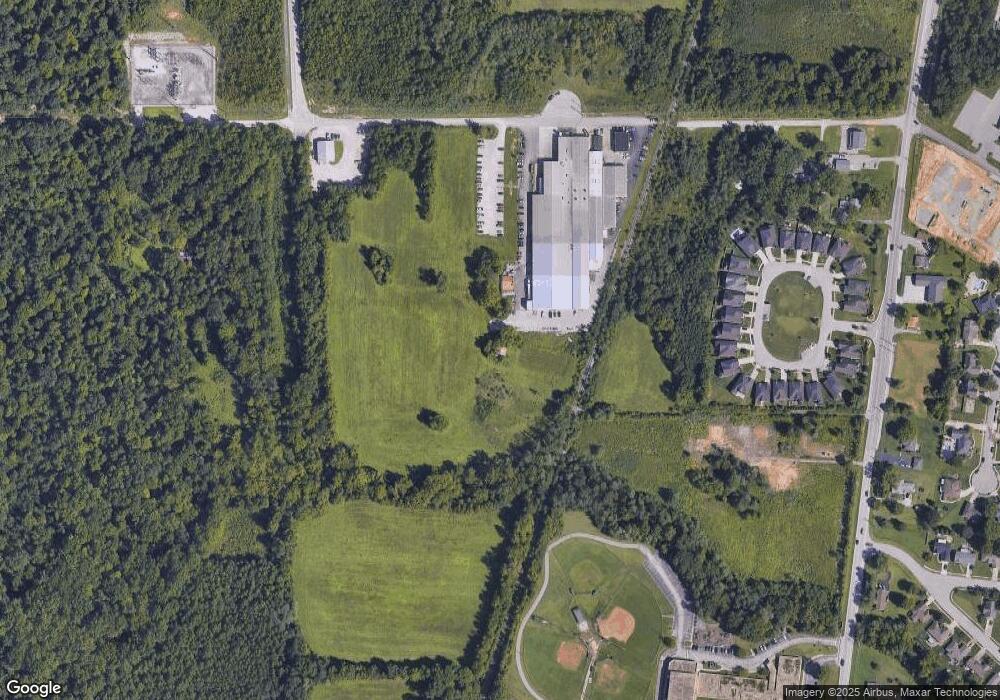
Map
Nearby Homes
- 4724 Black Pine Blvd Unit 73
- 4724 Timber Pine Dr Unit 100
- 4722 Timber Pine Dr Unit 99
- 525 Bald Knob Rd
- 4834 Ashbury Dr
- 3807 Homestead Dr
- 5307 Grant Line Rd
- 3920 Windsor Creek Dr
- 510 Payne Rd
- 3829 Fiske Ave
- 4441 Reas Ln
- 3941 Carver St
- 3810 Wayne St
- 4216 - LOT 130 Skylar Way
- Dogwood Plan at Kamer Crossing
- Holly Plan at Kamer Crossing
- Maple Plan at Kamer Crossing
- Haylyn 48' Plan at Kamer Crossing
- Juliana Plan at Kamer Crossing
- Hickory Plan at Kamer Crossing
- 404 Durgee Rd
- 716 Mure de Ronce Dr
- 714 Mure de Ronce Dr
- 718 Mure de Ronce Dr
- 4917 Grant Line Rd
- 4727 Grant Line Rd
- 720 Mure de Ronce Dr
- 712 Mure de Ronce Dr
- 722 Mure de Ronce Dr
- 723 Mure de Ronce Dr
- 710 Mure de Ronce Dr
- 721 Mure de Ronce Dr
- 708 Mure de Ronce Dr
- 719 Mure de Ronce Dr
- 706 Mure de Ronce Dr
- 717 Mure de Ronce Dr
- 704 Mure de Ronce Dr
- 715 Mure de Ronce Dr
- 128 White Pine Blvd
- 702 Mure de Ronce Dr