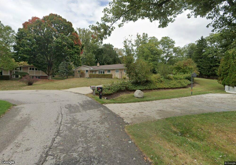
4924 Broomfield Ct Unit Bldg-Unit West Bloomfield, MI 48322
Estimated Value: $473,000 - $540,000
3
Beds
3
Baths
2,304
Sq Ft
$222/Sq Ft
Est. Value
About This Home
This home is located at 4924 Broomfield Ct Unit Bldg-Unit, West Bloomfield, MI 48322 and is currently estimated at $511,995, approximately $222 per square foot. 4924 Broomfield Ct Unit Bldg-Unit is a home located in Oakland County with nearby schools including Wylie E. Groves High School, West Maple Elementary School, and Berkshire Middle School.
Ownership History
Date
Name
Owned For
Owner Type
Purchase Details
Closed on
Mar 8, 2023
Sold by
Timossi John and Timossi Anne
Bought by
4924 Broomfield Llc
Current Estimated Value
Purchase Details
Closed on
Sep 30, 2016
Sold by
Wheatley Mary C and Wheatley Lenny W
Bought by
Timossi John and Timossi Anne
Create a Home Valuation Report for This Property
The Home Valuation Report is an in-depth analysis detailing your home's value as well as a comparison with similar homes in the area
Home Values in the Area
Average Home Value in this Area
Purchase History
| Date | Buyer | Sale Price | Title Company |
|---|---|---|---|
| 4924 Broomfield Llc | -- | -- | |
| Timossi John | $234,000 | None Available |
Source: Public Records
Tax History Compared to Growth
Tax History
| Year | Tax Paid | Tax Assessment Tax Assessment Total Assessment is a certain percentage of the fair market value that is determined by local assessors to be the total taxable value of land and additions on the property. | Land | Improvement |
|---|---|---|---|---|
| 2024 | $4,736 | $211,280 | $0 | $0 |
| 2022 | $4,163 | $175,610 | $55,000 | $120,610 |
| 2021 | $7,008 | $155,460 | $0 | $0 |
| 2020 | $3,805 | $154,320 | $45,980 | $108,340 |
| 2018 | $6,644 | $143,940 | $31,000 | $112,940 |
| 2015 | -- | $106,120 | $0 | $0 |
| 2014 | -- | $100,250 | $0 | $0 |
| 2011 | -- | $86,850 | $0 | $0 |
Source: Public Records
Map
Nearby Homes
- 2014 Waldons Ct
- 6800 N Clunbury Rd
- 6730 Halyard Rd
- 7315 Lindenmere Dr
- 7371 Lindenmere Dr
- 27170 W 14 Mile Rd
- 7250 Ten Hill
- 6420 Apple Grove Ln Unit 10
- 32620 Inkster Rd
- 6940 Castle Dr
- 4647 Private Lake Dr
- 32500 Rock Ridge Ln
- 4665 W Maple Rd
- 6720 Castle Dr
- 28786 Rockledge Dr
- 7209 Stonebrook Rd
- 27261 Willowgreen Ct
- 29020 Ramblewood Dr
- 5312 Cambourne Place
- 7310 Sandy Creek Ln
- 4924 Broomfield Ct
- 4930 Broomfield Ct
- 4918 Broomfield Ln
- 4936 Broomfield Ct
- 4935 S Clunbury Rd
- 7000 Inkster Rd
- 6990 Inkster Rd
- 4942 Broomfield Ln
- 4906 Broomfield Ln
- 4955 S Clunbury Rd
- 4960 Broomfield Ln
- 4975 S Clunbury Rd
- 4911 S Clunbury Rd
- 4954 Broomfield Ln
- 4995 S Clunbury Rd
- 4966 Broomfield Ln
- 4947 Broomfield Ln
- 5015 S Clunbury Rd
- 4909 Broomfield Ln
- 6951 E Dartmoor Rd Unit Bldg-Unit