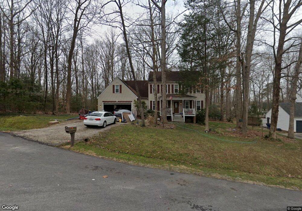
4924 Land Grant Rd North Chesterfield, VA 23236
North Chesterfield NeighborhoodEstimated Value: $377,000 - $499,971
4
Beds
3
Baths
2,902
Sq Ft
$147/Sq Ft
Est. Value
About This Home
This home is located at 4924 Land Grant Rd, North Chesterfield, VA 23236 and is currently estimated at $426,743, approximately $147 per square foot. 4924 Land Grant Rd is a home located in Chesterfield County with nearby schools including Jacobs Road Elementary School, Manchester Middle School, and Clover Hill High.
Ownership History
Date
Name
Owned For
Owner Type
Purchase Details
Closed on
Jan 17, 1997
Sold by
Lders Inc Jamestowne Bui
Bought by
Britt George F and Britt Carolyn S
Current Estimated Value
Home Financials for this Owner
Home Financials are based on the most recent Mortgage that was taken out on this home.
Original Mortgage
$110,000
Outstanding Balance
$11,528
Interest Rate
7.36%
Mortgage Type
New Conventional
Estimated Equity
$415,215
Create a Home Valuation Report for This Property
The Home Valuation Report is an in-depth analysis detailing your home's value as well as a comparison with similar homes in the area
Home Values in the Area
Average Home Value in this Area
Purchase History
| Date | Buyer | Sale Price | Title Company |
|---|---|---|---|
| Britt George F | $164,500 | -- |
Source: Public Records
Mortgage History
| Date | Status | Borrower | Loan Amount |
|---|---|---|---|
| Open | Britt George F | $110,000 |
Source: Public Records
Tax History Compared to Growth
Tax History
| Year | Tax Paid | Tax Assessment Tax Assessment Total Assessment is a certain percentage of the fair market value that is determined by local assessors to be the total taxable value of land and additions on the property. | Land | Improvement |
|---|---|---|---|---|
| 2025 | $4,277 | $477,700 | $63,000 | $414,700 |
| 2024 | $4,277 | $449,600 | $58,000 | $391,600 |
| 2023 | $3,661 | $402,300 | $55,000 | $347,300 |
| 2022 | $3,316 | $360,400 | $52,000 | $308,400 |
| 2021 | $3,186 | $328,400 | $48,000 | $280,400 |
| 2020 | $2,922 | $307,600 | $45,000 | $262,600 |
| 2019 | $2,797 | $294,400 | $44,000 | $250,400 |
| 2018 | $2,732 | $287,600 | $44,000 | $243,600 |
| 2017 | $2,632 | $274,200 | $42,000 | $232,200 |
| 2016 | $2,404 | $250,400 | $40,000 | $210,400 |
| 2015 | $2,310 | $238,000 | $40,000 | $198,000 |
| 2014 | $2,248 | $231,600 | $39,000 | $192,600 |
Source: Public Records
Map
Nearby Homes
- 9165 Chatham Grove Ln
- 4205 Country Spring Ln
- 8900 Freebridge Rd
- 15418 Millwright Rd
- 4110 Fordham Rd
- 5300 Copperpenny Rd
- 9901 Glass Rd
- 5304 Copperpenny Ct
- 4121 Foxglove Rd
- 8832 Lyndale Dr
- 4029 Flintridge Rd
- 5400 Claridge Dr
- 3832 Foxglove Rd
- 3910 Oxbridge Rd
- 4125 Ambergrove Ave
- 4129 Ambergrove Ave
- 3902 Amberleigh Blvd
- 4141 Ambergrove Ave
- 4884 Wedgemere Rd
- 9421 Amberleigh Cir
- 4918 Land Grant Dr
- 4918 Land Grant Rd
- 4919 Land Grant Dr
- 4919 Land Grant Rd
- 9000 Locksley Ln
- 4912 Land Grant Rd
- 4912 Land Grant Dr
- 4913 Land Grant Dr
- 4925 Land Grant Dr
- 4913 Land Grant Rd
- 4925 Land Grant Rd
- 9007 Locksley Ln
- 9006 Locksley Ln
- 4906 Land Grant Rd
- 4901 Land Grant Rd
- 4901 Land Grant Dr
- 9025 Chatham Grove Ln
- 9019 Chatham Grove Ln
- 9031 Chatham Grove Ln
- 9013 Locksley Ln