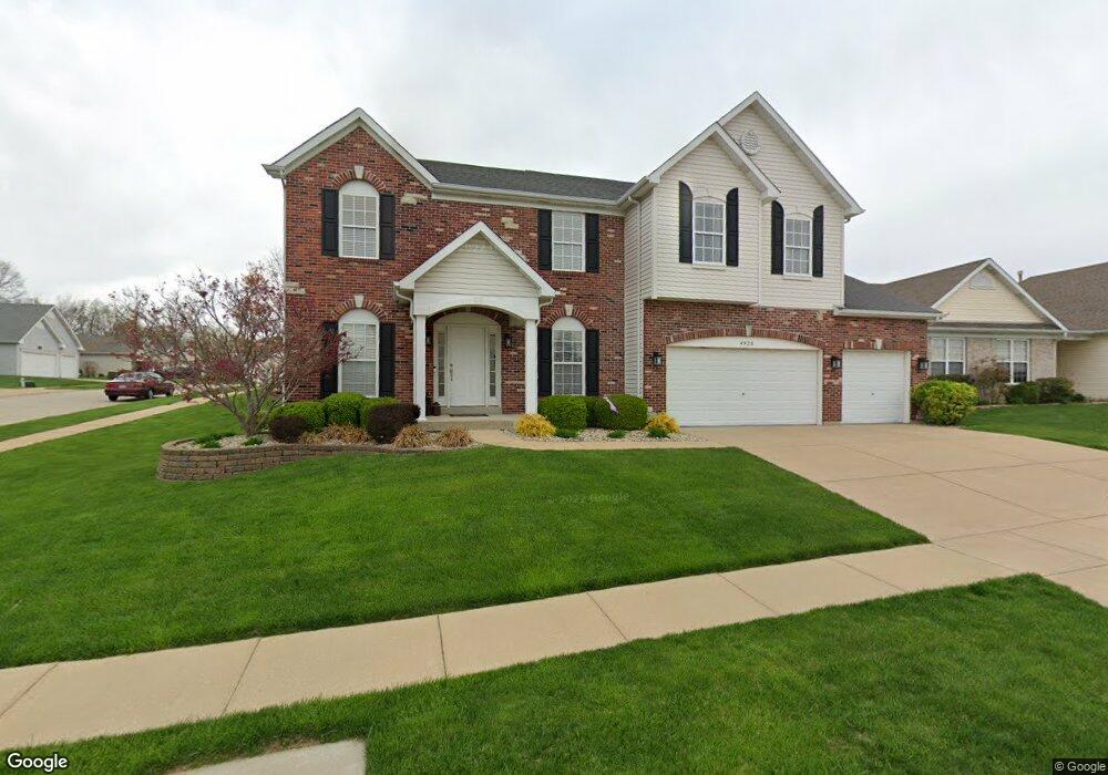
4925 Auburn Trace Ct Saint Louis, MO 63128
Estimated Value: $504,000 - $578,000
4
Beds
3
Baths
3,234
Sq Ft
$168/Sq Ft
Est. Value
About This Home
This home is located at 4925 Auburn Trace Ct, Saint Louis, MO 63128 and is currently estimated at $542,641, approximately $167 per square foot. 4925 Auburn Trace Ct is a home located in St. Louis County with nearby schools including Trautwein Elementary School, Washington Middle School, and Mehlville High School.
Ownership History
Date
Name
Owned For
Owner Type
Purchase Details
Closed on
Dec 23, 2004
Sold by
American Heritage Homes Llc
Bought by
White Douglas K and White Marcia M
Current Estimated Value
Home Financials for this Owner
Home Financials are based on the most recent Mortgage that was taken out on this home.
Original Mortgage
$205,000
Outstanding Balance
$97,640
Interest Rate
5%
Mortgage Type
Purchase Money Mortgage
Estimated Equity
$445,001
Purchase Details
Closed on
May 7, 2004
Sold by
American Heritage Land Development Llc
Bought by
American Heritage Homes Llc
Home Financials for this Owner
Home Financials are based on the most recent Mortgage that was taken out on this home.
Original Mortgage
$292,684
Interest Rate
5.53%
Mortgage Type
Purchase Money Mortgage
Create a Home Valuation Report for This Property
The Home Valuation Report is an in-depth analysis detailing your home's value as well as a comparison with similar homes in the area
Home Values in the Area
Average Home Value in this Area
Purchase History
| Date | Buyer | Sale Price | Title Company |
|---|---|---|---|
| White Douglas K | $399,810 | Heritage Title | |
| American Heritage Homes Llc | -- | Heritage Title |
Source: Public Records
Mortgage History
| Date | Status | Borrower | Loan Amount |
|---|---|---|---|
| Open | White Douglas K | $205,000 | |
| Previous Owner | American Heritage Homes Llc | $292,684 | |
| Closed | White Douglas K | $150,000 |
Source: Public Records
Tax History Compared to Growth
Tax History
| Year | Tax Paid | Tax Assessment Tax Assessment Total Assessment is a certain percentage of the fair market value that is determined by local assessors to be the total taxable value of land and additions on the property. | Land | Improvement |
|---|---|---|---|---|
| 2025 | $5,775 | $94,510 | $15,390 | $79,120 |
| 2024 | $5,775 | $86,200 | $11,970 | $74,230 |
| 2023 | $5,702 | $86,200 | $11,970 | $74,230 |
| 2022 | $4,587 | $69,650 | $11,970 | $57,680 |
| 2021 | $4,439 | $69,650 | $11,970 | $57,680 |
| 2020 | $4,632 | $69,140 | $11,130 | $58,010 |
| 2019 | $4,618 | $69,140 | $11,130 | $58,010 |
| 2018 | $5,125 | $69,330 | $8,570 | $60,760 |
| 2017 | $5,118 | $69,330 | $8,570 | $60,760 |
| 2016 | $4,725 | $61,390 | $8,570 | $52,820 |
| 2015 | $4,337 | $61,390 | $8,570 | $52,820 |
| 2014 | $3,846 | $53,850 | $14,650 | $39,200 |
Source: Public Records
Map
Nearby Homes
- 5057 Peyton Place Ct
- 5102 Peyton Place Ct
- 5131 Butler Bend Dr
- 5161 Butler Bend Dr
- 4814 Hursley Dr
- 4839 Hursley Dr
- 5317 Hamlin Ct
- 4508 Frederickton Ct
- 4540 Butler Hill Rd
- 5263 Faro Dr
- 4921 Kerth Rd
- 4753 Morestead Dr
- 4947 Butler Hill Rd
- 4643 Littlebury Dr
- 5135 Towne Centre Dr
- 13232 East Ln
- 4803 Broad Oak Dr
- 13266 East Ln
- 4818 Chapel Hill Dr
- 4801 Langtree Dr
- 4921 Auburn Trace Ct
- 4720 Auburn Trace Dr
- 4724 Auburn Trace Dr
- 4751 Auburn Trace Dr
- 4917 Auburn Trace Ct
- 4715 Auburn Trace Dr
- 4739 Auburn Trace Dr
- 4716 Auburn Trace Dr
- 4728 Auburn Trace Dr
- 4775 Auburn Trace Dr
- 4910 Auburn Trace Ct
- 4712 Auburn Trace Dr
- 4711 Auburn Trace Dr
- 4732 Auburn Trace Dr
- 4913 Auburn Trace Ct
- 4755 Auburn Trace Dr
- 4708 Auburn Trace Dr
- 4909 Auburn Trace Ct
- 4736 Auburn Trace Dr
- 4756 Auburn Trace Dr