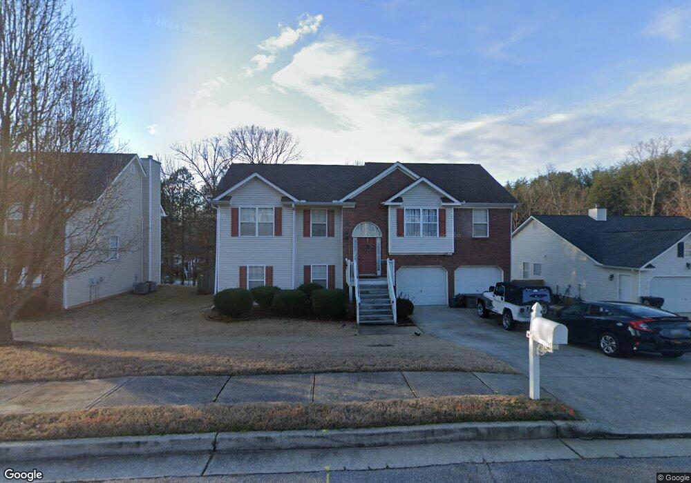
4925 Roxton Ln Unit 1 Douglasville, GA 30135
Bill Arp NeighborhoodEstimated Value: $300,370 - $327,000
--
Bed
2
Baths
1,468
Sq Ft
$214/Sq Ft
Est. Value
About This Home
This home is located at 4925 Roxton Ln Unit 1, Douglasville, GA 30135 and is currently estimated at $314,093, approximately $213 per square foot. 4925 Roxton Ln Unit 1 is a home located in Douglas County with nearby schools including Bill Arp Elementary School, Yeager Middle School, and Alexander High School.
Ownership History
Date
Name
Owned For
Owner Type
Purchase Details
Closed on
Mar 27, 2006
Sold by
Evans Donald R and Evans Ruth H
Bought by
Little Charlie A
Current Estimated Value
Home Financials for this Owner
Home Financials are based on the most recent Mortgage that was taken out on this home.
Original Mortgage
$154,900
Interest Rate
6.39%
Mortgage Type
VA
Create a Home Valuation Report for This Property
The Home Valuation Report is an in-depth analysis detailing your home's value as well as a comparison with similar homes in the area
Home Values in the Area
Average Home Value in this Area
Purchase History
| Date | Buyer | Sale Price | Title Company |
|---|---|---|---|
| Little Charlie A | $154,900 | -- |
Source: Public Records
Mortgage History
| Date | Status | Borrower | Loan Amount |
|---|---|---|---|
| Previous Owner | Little Charlie A | $154,900 |
Source: Public Records
Tax History Compared to Growth
Tax History
| Year | Tax Paid | Tax Assessment Tax Assessment Total Assessment is a certain percentage of the fair market value that is determined by local assessors to be the total taxable value of land and additions on the property. | Land | Improvement |
|---|---|---|---|---|
| 2024 | $3,000 | $120,760 | $28,000 | $92,760 |
| 2023 | $3,000 | $116,720 | $26,880 | $89,840 |
| 2022 | $2,528 | $92,280 | $15,240 | $77,040 |
| 2021 | $2,063 | $68,880 | $13,840 | $55,040 |
| 2020 | $2,092 | $68,880 | $13,840 | $55,040 |
| 2019 | $1,949 | $67,400 | $13,840 | $53,560 |
| 2018 | $1,803 | $59,920 | $12,720 | $47,200 |
| 2017 | $1,695 | $54,960 | $12,880 | $42,080 |
| 2016 | $1,514 | $48,520 | $11,880 | $36,640 |
| 2015 | $1,153 | $47,280 | $11,880 | $35,400 |
| 2014 | $1,153 | $36,000 | $9,920 | $26,080 |
| 2013 | -- | $31,840 | $8,800 | $23,040 |
Source: Public Records
Map
Nearby Homes
- 6160 Queensdale Dr
- 6175 Knights Ln
- 6145 Knights Ln
- 4776 Harrod Ct
- 6126 Knights Ln
- 6258 N Summers Cir
- 4731 Kings Hwy
- 6025 Crowley Dr
- 6063 Fielder Way
- 6236 Shallow Creek Ln
- 6005 Crowley Dr
- 5968 Hilltop Dr
- 6096 Shallow Creek Ln
- 6290 Shallowford Way
- 6374 Dorsett Shoals Rd
- 6266 Dorsett Shoals Rd Unit 139
- 5890 Crowley Dr
- 5225 Kings Hwy
- 4915 Roxton Ln
- 4935 Roxton Ln
- 6162 Almorah Ct
- 4905 Roxton Ln
- 6132 Almorah Ct
- 0 Almorah Ct Unit 7416284
- 0 Almorah Ct Unit 7164168
- 0 Almorah Ct Unit 3208564
- 0 Almorah Ct Unit 8373461
- 0 Almorah Ct Unit 7294789
- 0 Almorah Ct Unit 3098599
- 0 Almorah Ct Unit 7120274
- 0 Almorah Ct
- 4930 Roxton Ln Unit 1
- 4940 Roxton Ln
- 6172 Almorah Ct
- 4920 Roxton Ln
- 4920 Roxton Ln Unit 1
- 6161 Almorah Ct Unit Ga1316
- 6161 Almorah Ct