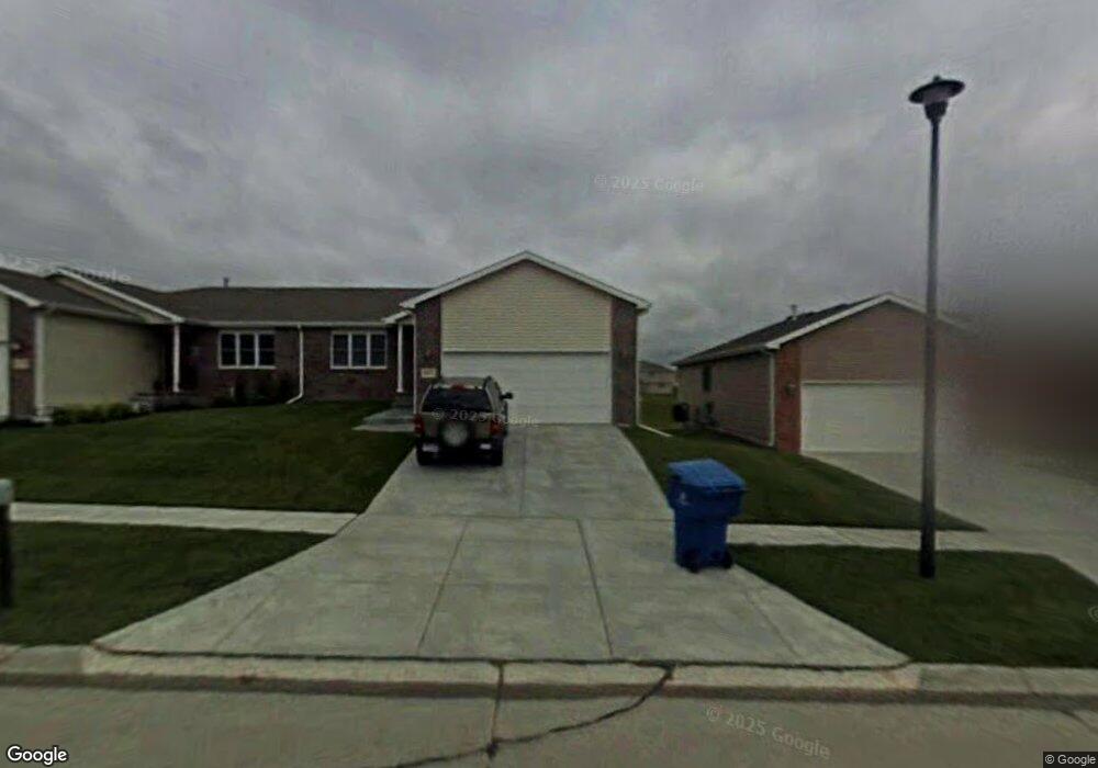
4925 S 78th St Lincoln, NE 68516
Family Acres NeighborhoodEstimated Value: $322,829 - $389,000
2
Beds
2
Baths
1,205
Sq Ft
$296/Sq Ft
Est. Value
About This Home
This home is located at 4925 S 78th St, Lincoln, NE 68516 and is currently estimated at $357,207, approximately $296 per square foot. 4925 S 78th St is a home located in Lancaster County with nearby schools including Maxey Elementary School, Lux Middle School, and Lincoln East High School.
Ownership History
Date
Name
Owned For
Owner Type
Purchase Details
Closed on
Nov 9, 2007
Sold by
Kehl Jacqueline
Bought by
Kehl Jacqueline and Kehl Living Trust
Current Estimated Value
Purchase Details
Closed on
Jun 20, 2007
Sold by
B & K Enterprises Inc
Bought by
Kehl Jacqueline
Home Financials for this Owner
Home Financials are based on the most recent Mortgage that was taken out on this home.
Original Mortgage
$145,960
Interest Rate
6.19%
Mortgage Type
Unknown
Create a Home Valuation Report for This Property
The Home Valuation Report is an in-depth analysis detailing your home's value as well as a comparison with similar homes in the area
Home Values in the Area
Average Home Value in this Area
Purchase History
| Date | Buyer | Sale Price | Title Company |
|---|---|---|---|
| Kehl Jacqueline | -- | None Available | |
| Kehl Jacqueline | $184,000 | Lt |
Source: Public Records
Mortgage History
| Date | Status | Borrower | Loan Amount |
|---|---|---|---|
| Closed | Kehl Jacqueline | $145,960 |
Source: Public Records
Tax History Compared to Growth
Tax History
| Year | Tax Paid | Tax Assessment Tax Assessment Total Assessment is a certain percentage of the fair market value that is determined by local assessors to be the total taxable value of land and additions on the property. | Land | Improvement |
|---|---|---|---|---|
| 2025 | $4,128 | $306,800 | $76,200 | $230,600 |
| 2024 | $4,128 | $293,900 | $55,200 | $238,700 |
| 2023 | $4,505 | $268,800 | $50,600 | $218,200 |
| 2022 | $4,534 | $227,500 | $44,000 | $183,500 |
| 2021 | $4,289 | $227,500 | $44,000 | $183,500 |
| 2020 | $4,041 | $211,500 | $44,000 | $167,500 |
| 2019 | $4,042 | $211,500 | $44,000 | $167,500 |
| 2018 | $3,935 | $205,000 | $38,500 | $166,500 |
| 2017 | $3,971 | $205,000 | $38,500 | $166,500 |
| 2016 | $3,610 | $185,400 | $33,000 | $152,400 |
| 2015 | $3,636 | $185,400 | $33,000 | $152,400 |
| 2014 | $3,441 | $174,200 | $38,000 | $136,200 |
| 2013 | -- | $174,200 | $38,000 | $136,200 |
Source: Public Records
Map
Nearby Homes
- 7739 Phares Dr
- 4840 S 77th St
- 7814 Phares Dr
- 4701 Hawthorne Dr
- 7841 Preserve Ln
- 4911 S 76th St
- 5431 S 79th St
- 4440 Pagoda Ln
- 8440 Birkett Dr
- 8439 Birkett Dr
- 4600 Shirl Ct
- 4734 S 72nd St
- 8017 Meredeth St
- 7501 Karl Dr
- 7130 Bradock Dr
- 5614 S 80th St
- 7848 Red Oak Rd
- 5624 Barrington Cir
- 7500 Red Oak Rd
- 5233 S 71st St