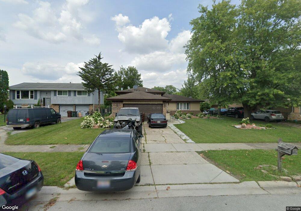
4926 Forest Ct Oak Forest, IL 60452
Estimated Value: $290,000 - $310,000
3
Beds
2
Baths
1,104
Sq Ft
$269/Sq Ft
Est. Value
About This Home
This home is located at 4926 Forest Ct, Oak Forest, IL 60452 and is currently estimated at $296,548, approximately $268 per square foot. 4926 Forest Ct is a home located in Cook County with nearby schools including Kimberly Heights Elementary School, Scarlet Oak Elementary School, and Arbor Park Middle School.
Ownership History
Date
Name
Owned For
Owner Type
Purchase Details
Closed on
Sep 8, 2004
Sold by
William J Platt Living Trust
Bought by
Rafati Sana
Current Estimated Value
Home Financials for this Owner
Home Financials are based on the most recent Mortgage that was taken out on this home.
Original Mortgage
$194,750
Outstanding Balance
$95,712
Interest Rate
6.08%
Mortgage Type
Unknown
Estimated Equity
$200,836
Purchase Details
Closed on
Dec 16, 2003
Sold by
Platt William J and Platt Rita E
Bought by
Platt William J and Platt Rita E
Purchase Details
Closed on
Jun 21, 2002
Sold by
Platt William
Bought by
Platt William J and Platt Rita
Home Financials for this Owner
Home Financials are based on the most recent Mortgage that was taken out on this home.
Original Mortgage
$114,000
Interest Rate
5.81%
Purchase Details
Closed on
May 11, 2000
Sold by
Gunther Michael J and Gunther Jacquelyn M
Bought by
Platt William
Create a Home Valuation Report for This Property
The Home Valuation Report is an in-depth analysis detailing your home's value as well as a comparison with similar homes in the area
Home Values in the Area
Average Home Value in this Area
Purchase History
| Date | Buyer | Sale Price | Title Company |
|---|---|---|---|
| Rafati Sana | $205,000 | Stewart Title Of Illinois | |
| Platt William J | -- | Chicago Title Insurance Comp | |
| Platt William J | -- | -- | |
| Platt William | $150,000 | -- |
Source: Public Records
Mortgage History
| Date | Status | Borrower | Loan Amount |
|---|---|---|---|
| Open | Rafati Sana | $194,750 | |
| Previous Owner | Platt William J | $114,000 |
Source: Public Records
Tax History
| Year | Tax Paid | Tax Assessment Tax Assessment Total Assessment is a certain percentage of the fair market value that is determined by local assessors to be the total taxable value of land and additions on the property. | Land | Improvement |
|---|---|---|---|---|
| 2025 | $7,480 | $24,000 | $4,826 | $19,174 |
| 2024 | $7,480 | $24,000 | $4,826 | $19,174 |
| 2023 | $6,778 | $24,000 | $4,826 | $19,174 |
| 2022 | $6,778 | $17,970 | $4,168 | $13,802 |
| 2021 | $6,651 | $17,970 | $4,168 | $13,802 |
| 2020 | $6,512 | $17,970 | $4,168 | $13,802 |
| 2019 | $5,653 | $16,028 | $3,729 | $12,299 |
| 2018 | $5,526 | $16,028 | $3,729 | $12,299 |
| 2017 | $6,370 | $17,959 | $3,729 | $14,230 |
| 2016 | $6,076 | $15,886 | $3,290 | $12,596 |
| 2015 | $5,847 | $15,886 | $3,290 | $12,596 |
| 2014 | $5,725 | $15,886 | $3,290 | $12,596 |
| 2013 | $5,413 | $16,763 | $3,290 | $13,473 |
Source: Public Records
Map
Nearby Homes
- 5113 Coulter Rd
- 16824 Meadowdale Dr
- 4645 Milford Ave
- 16909 W Thackeray Lot #8 St
- 16908 Laramie Ave
- 5217 Kathleen Ct
- 5048 171st St
- 4428 Lisa Ln
- 16465 Terry Ln
- 17027 Judy Ct
- 5319 Martha Ln
- 16465 Roy St
- 16224 S Cicero Ave
- 16400 Roy St
- 4850 162nd St
- 5426 Bonnie Trail
- 16520 Brockton Ln
- 16409 Craig Dr
- 16138 Lockwood Ave
- 4230 Barry Ln