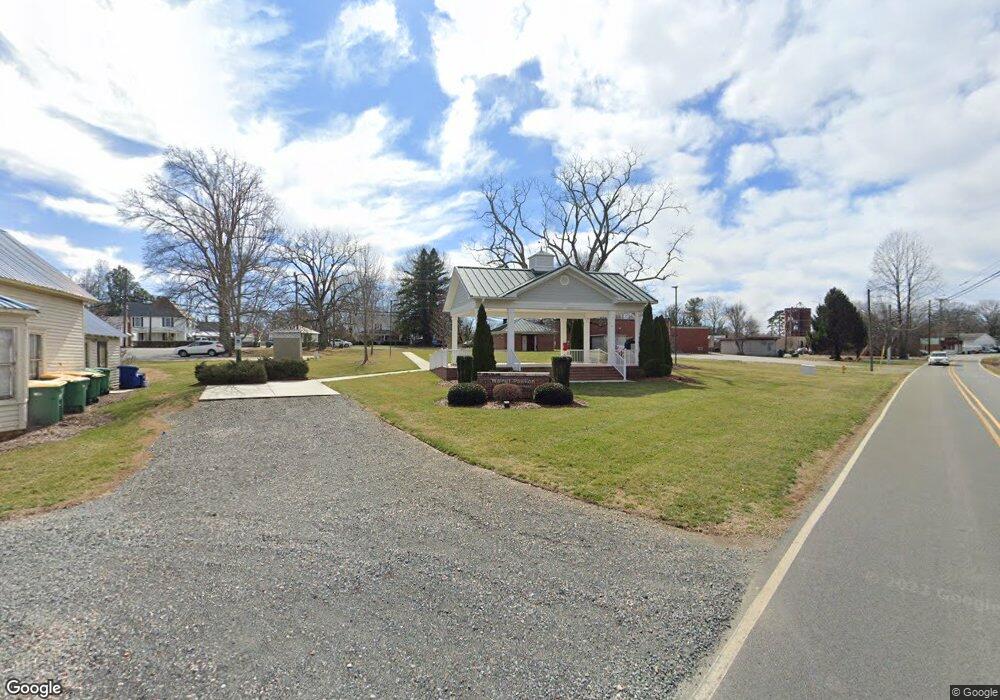
4926 Sullivantown Rd Walkertown, NC 27051
Estimated Value: $228,000 - $272,000
5
Beds
1
Bath
2,203
Sq Ft
$115/Sq Ft
Est. Value
About This Home
This home is located at 4926 Sullivantown Rd, Walkertown, NC 27051 and is currently estimated at $253,645, approximately $115 per square foot. 4926 Sullivantown Rd is a home located in Forsyth County with nearby schools including Walkertown Elementary School, Walkertown Middle, and Walkertown High School.
Ownership History
Date
Name
Owned For
Owner Type
Purchase Details
Closed on
Aug 20, 2013
Sold by
Williams Robert E and Williams Phyllis C
Bought by
The Town Of Walkertown
Current Estimated Value
Purchase Details
Closed on
Jun 28, 2013
Sold by
Heath David R and Heath Susan M
Bought by
Williams Robert E
Purchase Details
Closed on
Sep 16, 2011
Sold by
Bra Ril Revocable Living Trust #1
Bought by
Williams Robert E and Heath David R
Purchase Details
Closed on
Sep 12, 2011
Sold by
New Century Properties Ltd
Bought by
Williams Robert E and Heath David R
Create a Home Valuation Report for This Property
The Home Valuation Report is an in-depth analysis detailing your home's value as well as a comparison with similar homes in the area
Home Values in the Area
Average Home Value in this Area
Purchase History
| Date | Buyer | Sale Price | Title Company |
|---|---|---|---|
| The Town Of Walkertown | $98,000 | None Available | |
| Williams Robert E | $58,000 | None Available | |
| Williams Robert E | $25,000 | None Available | |
| Williams Robert E | -- | None Available |
Source: Public Records
Tax History Compared to Growth
Tax History
| Year | Tax Paid | Tax Assessment Tax Assessment Total Assessment is a certain percentage of the fair market value that is determined by local assessors to be the total taxable value of land and additions on the property. | Land | Improvement |
|---|---|---|---|---|
| 2024 | -- | $148,700 | $109,300 | $39,400 |
| 2023 | -- | $148,700 | $109,300 | $39,400 |
| 2022 | $0 | $148,700 | $109,300 | $39,400 |
| 2021 | $0 | $148,700 | $109,300 | $39,400 |
| 2020 | $0 | $126,400 | $84,700 | $41,700 |
| 2019 | $0 | $126,400 | $84,700 | $41,700 |
| 2018 | $0 | $126,400 | $84,700 | $41,700 |
| 2016 | -- | $120,868 | $72,019 | $48,849 |
| 2015 | -- | $120,868 | $72,019 | $48,849 |
| 2014 | -- | $120,868 | $72,019 | $48,849 |
Source: Public Records
Map
Nearby Homes
- 3741 A St
- 3724 Leake St
- Ellerbe Plan at Sullivans Reserve
- Southport Plan at Sullivans Reserve
- Greensboro Plan at Sullivans Reserve
- Jamestown Plan at Sullivans Reserve
- Freeport Plan at Sullivans Reserve
- Kendall Plan at Sullivans Reserve
- Asheville Plan at Sullivans Reserve
- Fairfield Plan at Sullivans Reserve
- Hanover Plan at Sullivans Reserve
- 3115 Chapel St
- 3121 Chapel St
- 3127 Chapel St
- 3145 Chapel St
- 5272 Esher Dr
- 3139 Chapel St
- 2814 Chari Park Ln
- 2722 Darrow Rd
- 2939 Bellaire Cir
- 4934 Sullivantown Rd
- Lot 065 Main St
- 3730 Snider St
- 5115 Salem Rd
- 5096 Harley Dr
- 0 Main St
- 5092 Harley Dr
- 5105 Salem Rd
- 3720 Snider St
- 3092 Main St
- 5099 Salem Rd
- 3710 Snider St
- 5091 Salem Rd
- 4997 Sullivantown Rd
- 5110 Carmichael St
- 5095 Main St
- 3266 Winthrop St
- 3076 Main St
- 5083 Salem Rd
- 5120 Carmichael St
