Estimated Value: $239,314 - $259,000
3
Beds
2
Baths
2,316
Sq Ft
$108/Sq Ft
Est. Value
About This Home
This home is located at 4927 Flatrock Trail, Payne, OH 45880 and is currently estimated at $250,829, approximately $108 per square foot. 4927 Flatrock Trail is a home located in Paulding County with nearby schools including Wayne Trace High School and Divine Mercy School.
Ownership History
Date
Name
Owned For
Owner Type
Purchase Details
Closed on
Nov 9, 2006
Sold by
Rager Walter and Louise L Rager Living Trust
Bought by
Whitman Richard L and Whiteman Eileen K
Current Estimated Value
Home Financials for this Owner
Home Financials are based on the most recent Mortgage that was taken out on this home.
Original Mortgage
$93,300
Outstanding Balance
$55,806
Interest Rate
6.41%
Mortgage Type
New Conventional
Estimated Equity
$195,023
Purchase Details
Closed on
May 20, 2004
Bought by
Whitman Richard L Whitman Eileen K
Purchase Details
Closed on
Jan 1, 1990
Bought by
Whitman Richard L Whitman Eileen K
Create a Home Valuation Report for This Property
The Home Valuation Report is an in-depth analysis detailing your home's value as well as a comparison with similar homes in the area
Home Values in the Area
Average Home Value in this Area
Purchase History
| Date | Buyer | Sale Price | Title Company |
|---|---|---|---|
| Whitman Richard L | $190,000 | None Available | |
| Whitman Richard L Whitman Eileen K | -- | -- | |
| Whitman Richard L Whitman Eileen K | -- | -- |
Source: Public Records
Mortgage History
| Date | Status | Borrower | Loan Amount |
|---|---|---|---|
| Open | Whitman Richard L | $93,300 |
Source: Public Records
Tax History Compared to Growth
Tax History
| Year | Tax Paid | Tax Assessment Tax Assessment Total Assessment is a certain percentage of the fair market value that is determined by local assessors to be the total taxable value of land and additions on the property. | Land | Improvement |
|---|---|---|---|---|
| 2024 | $1,524 | $56,910 | $10,710 | $46,200 |
| 2023 | $1,524 | $56,910 | $10,710 | $46,200 |
| 2022 | $1,594 | $56,910 | $10,710 | $46,200 |
| 2021 | $1,592 | $52,080 | $10,710 | $41,370 |
| 2020 | $1,646 | $52,080 | $10,710 | $41,370 |
| 2019 | $1,653 | $46,690 | $10,710 | $35,980 |
| 2018 | $1,320 | $46,690 | $10,710 | $35,980 |
| 2017 | $1,322 | $46,690 | $10,710 | $35,980 |
| 2016 | $1,321 | $46,690 | $10,710 | $35,980 |
| 2015 | $1,175 | $43,410 | $11,170 | $32,240 |
| 2014 | $1,190 | $43,410 | $11,170 | $32,240 |
| 2013 | $1,476 | $46,980 | $11,170 | $35,810 |
Source: Public Records
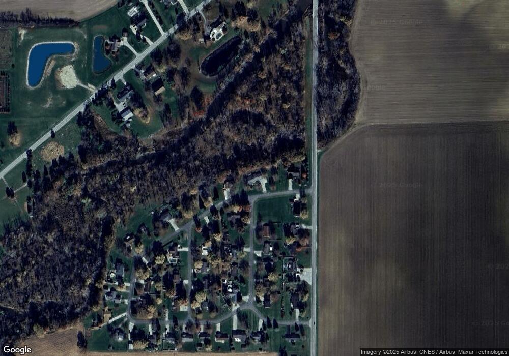
Map
Nearby Homes
- 6312 Meadowlark Ln
- 412 S Laura St
- 813 Brian Dr
- 600 W Merrin St
- 100 Proxmire St
- 5368 Road 124
- 25920 Railroad St
- 25812 Maumee Center Rd
- 7579 Elm Sugar Rd
- 4616 Homestead Trail
- 4783 Legacy Cove
- 607 Erie St
- 4602 Indiana 101
- 22608 Main St
- 22238 Travertine Run
- 2386 Road 250
- 22215 Travertine Run
- 19900 Dawkins Rd
- 13149 Road 27b
- 5038 Chickadee Dr
- 4897 Flatrock Trail
- 4965 Flatrock Trail
- 4875 Flatrock Trail
- 6368 Meadowlark Ln
- 6379 Meadowlark Ln
- 6385 State Route 49
- 4987 Flatrock Trail
- 6367 State Route 49
- 4862 Flatrock Trail
- 6348 Meadowlark Ln
- 6341 Meadowlark Ln
- 6367 49
- 6353 State Route 49
- 6330 Meadowlark Ln
- 6325 Meadowlark Ln
- 828 Brians Dr
- 39 39
- 6356 Bobolink Rd
- 6336 Bobolink Rd
- 4807 Flatrock Trail