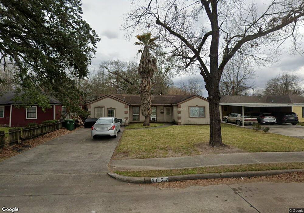
4927 Hull St Houston, TX 77021
OST-South Union NeighborhoodEstimated Value: $184,953 - $217,000
2
Beds
1
Bath
1,263
Sq Ft
$161/Sq Ft
Est. Value
About This Home
This home is located at 4927 Hull St, Houston, TX 77021 and is currently estimated at $203,488, approximately $161 per square foot. 4927 Hull St is a home located in Harris County with nearby schools including Hartsfield Elementary Animal and Environmental Sciences Magnet, Cullen Middle School, and Yates High School.
Ownership History
Date
Name
Owned For
Owner Type
Purchase Details
Closed on
Dec 2, 2004
Sold by
Leadon Paul Earthell and Leadon Paula La Dienne
Bought by
Joseph Tiffany D
Current Estimated Value
Home Financials for this Owner
Home Financials are based on the most recent Mortgage that was taken out on this home.
Original Mortgage
$60,000
Outstanding Balance
$29,948
Interest Rate
5.68%
Mortgage Type
Purchase Money Mortgage
Estimated Equity
$173,540
Purchase Details
Closed on
Sep 20, 2004
Sold by
Leadon Paul Earthell
Bought by
Joseph Tiffany D
Create a Home Valuation Report for This Property
The Home Valuation Report is an in-depth analysis detailing your home's value as well as a comparison with similar homes in the area
Home Values in the Area
Average Home Value in this Area
Purchase History
| Date | Buyer | Sale Price | Title Company |
|---|---|---|---|
| Joseph Tiffany D | -- | Startex Title | |
| Joseph Tiffany D | -- | -- |
Source: Public Records
Mortgage History
| Date | Status | Borrower | Loan Amount |
|---|---|---|---|
| Open | Joseph Tiffany D | $60,000 |
Source: Public Records
Tax History Compared to Growth
Tax History
| Year | Tax Paid | Tax Assessment Tax Assessment Total Assessment is a certain percentage of the fair market value that is determined by local assessors to be the total taxable value of land and additions on the property. | Land | Improvement |
|---|---|---|---|---|
| 2025 | $4,142 | $220,599 | $81,185 | $139,414 |
| 2024 | $4,142 | $197,964 | $81,185 | $116,779 |
| 2023 | $4,142 | $236,376 | $81,185 | $155,191 |
| 2022 | $4,342 | $197,212 | $81,185 | $116,027 |
| 2021 | $3,519 | $150,984 | $49,960 | $101,024 |
| 2020 | $2,203 | $90,969 | $42,154 | $48,815 |
| 2019 | $1,781 | $70,391 | $32,786 | $37,605 |
| 2018 | $1,442 | $56,977 | $24,980 | $31,997 |
| 2017 | $1,116 | $44,152 | $18,735 | $25,417 |
| 2016 | $984 | $38,926 | $18,735 | $20,191 |
| 2015 | $879 | $37,242 | $18,735 | $18,507 |
| 2014 | $879 | $34,192 | $15,613 | $18,579 |
Source: Public Records
Map
Nearby Homes
- 4927 Kelso St
- 4930 Gren St
- 6518 Weston St Unit 10
- 5022 Balkin St
- 6911 Madrid St
- 5107 Gren St
- 5014 Yellowstone Blvd
- 6421 Madrid St
- 6419 Madrid St
- 6417 Madrid St
- 5103 Yellowstone Blvd
- 5035 Andrea St
- 6726 Dumble St Unit A/B
- 6714 Dumble St
- 5023 Cosby St
- 4902 Ward St
- 0 Ward Lt 2 St Unit 27873799
- 0 Ward Lot 3 St Unit 55679187
- 0 Perry St
- 6747 Liverpool St