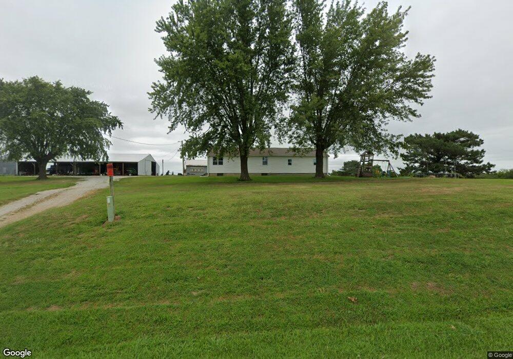
49280 E 134th St Norborne, MO 64668
Estimated Value: $188,154 - $199,000
2
Beds
1
Bath
768
Sq Ft
$253/Sq Ft
Est. Value
About This Home
This home is located at 49280 E 134th St, Norborne, MO 64668 and is currently estimated at $194,385, approximately $253 per square foot. 49280 E 134th St is a home with nearby schools including Hardin-Central Elementary School and Hardin-Central High School.
Create a Home Valuation Report for This Property
The Home Valuation Report is an in-depth analysis detailing your home's value as well as a comparison with similar homes in the area
Tax History
| Year | Tax Paid | Tax Assessment Tax Assessment Total Assessment is a certain percentage of the fair market value that is determined by local assessors to be the total taxable value of land and additions on the property. | Land | Improvement |
|---|---|---|---|---|
| 2024 | $851 | $9,260 | $1,360 | $7,900 |
| 2023 | $621 | $9,260 | $1,360 | $7,900 |
| 2022 | $572 | $8,590 | $1,320 | $7,270 |
| 2021 | $569 | $8,590 | $1,320 | $7,270 |
| 2020 | $547 | $8,140 | $1,320 | $6,820 |
| 2019 | $547 | $8,140 | $1,320 | $6,820 |
| 2018 | $499 | $7,350 | $1,320 | $6,030 |
| 2017 | $507 | $7,350 | $1,320 | $6,030 |
| 2015 | -- | $7,300 | $1,320 | $5,980 |
| 2013 | -- | $42,330 | $8,904 | $33,426 |
| 2011 | -- | $0 | $0 | $0 |
Source: Public Records
Map
Nearby Homes
- 0 Rockingham Rd
- 000 Rockingham Rd
- 49465 State Highway Dd
- 300 NE 1st St
- 100 NE 2nd St
- 405 W 2nd St
- 35900 Missouri 10
- 14311 B Hwy
- 45312 Highway K
- 45312 Hwy K
- 23145 County Road 151 N A
- 23145 County Rd 151
- 43222 Highway K
- 10262 Airfield Ln
- Lot 35 Airfield Ln
- Lot 34 Airfield Ln
- Lot 37 Airfield Ln
- Lot 38 Airfield Ln
- Lot 36 Airfield Ln
- Lot 31A W Piper Ln
Your Personal Tour Guide
Ask me questions while you tour the home.