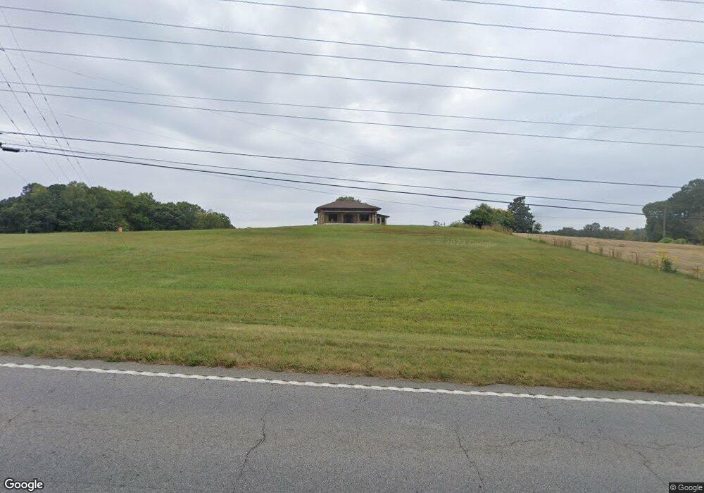
4929 Cartersville Hwy Dallas, GA 30132
Estimated Value: $366,000 - $605,000
3
Beds
3
Baths
3,382
Sq Ft
$137/Sq Ft
Est. Value
About This Home
This home is located at 4929 Cartersville Hwy, Dallas, GA 30132 and is currently estimated at $462,440, approximately $136 per square foot. 4929 Cartersville Hwy is a home located in Paulding County with nearby schools including Northside Elementary School, Lena Mae Moses Middle School, and North Paulding High School.
Ownership History
Date
Name
Owned For
Owner Type
Purchase Details
Closed on
Aug 15, 2024
Sold by
Womack Douglas M
Bought by
Womack Bryce Cameron
Current Estimated Value
Purchase Details
Closed on
Nov 15, 2021
Sold by
Womack Douglas M
Bought by
Womack Douglas M and Womack Linda M
Purchase Details
Closed on
Jul 31, 2012
Sold by
Secretary Of Housing And U
Bought by
Rice Gerald S and Rice Mildred I
Purchase Details
Closed on
Nov 8, 2006
Sold by
Womack Lonnie J
Bought by
Womack Katie M
Purchase Details
Closed on
Sep 7, 2005
Sold by
Crabble Tyson L and Crabble Lori
Bought by
Crabble Tyson L and Crabble Lori
Home Financials for this Owner
Home Financials are based on the most recent Mortgage that was taken out on this home.
Original Mortgage
$10,000
Interest Rate
5.86%
Mortgage Type
New Conventional
Create a Home Valuation Report for This Property
The Home Valuation Report is an in-depth analysis detailing your home's value as well as a comparison with similar homes in the area
Home Values in the Area
Average Home Value in this Area
Purchase History
| Date | Buyer | Sale Price | Title Company |
|---|---|---|---|
| Womack Bryce Cameron | -- | -- | |
| Womack Douglas M | -- | -- | |
| Womack Douglas M | -- | -- | |
| Womack Brenda E | -- | -- | |
| Rice Gerald S | $96,300 | -- | |
| Womack Katie M | -- | -- | |
| Crabble Tyson L | -- | -- |
Source: Public Records
Mortgage History
| Date | Status | Borrower | Loan Amount |
|---|---|---|---|
| Previous Owner | Crabble Tyson L | $10,000 |
Source: Public Records
Tax History Compared to Growth
Tax History
| Year | Tax Paid | Tax Assessment Tax Assessment Total Assessment is a certain percentage of the fair market value that is determined by local assessors to be the total taxable value of land and additions on the property. | Land | Improvement |
|---|---|---|---|---|
| 2024 | $3,404 | $136,832 | $37,520 | $99,312 |
| 2023 | $1,797 | $68,912 | $36,600 | $32,312 |
| 2022 | $1,600 | $61,360 | $31,080 | $30,280 |
| 2021 | $2,738 | $94,204 | $35,640 | $58,564 |
| 2020 | $922 | $88,164 | $35,640 | $52,524 |
| 2019 | $905 | $83,524 | $33,960 | $49,564 |
| 2018 | $793 | $74,524 | $31,240 | $43,284 |
| 2017 | $765 | $69,524 | $29,920 | $39,604 |
| 2016 | $623 | $58,881 | $28,080 | $30,801 |
| 2015 | $610 | $55,481 | $27,320 | $28,161 |
| 2014 | $577 | $49,801 | $24,720 | $25,081 |
| 2013 | -- | $48,520 | $26,880 | $21,640 |
Source: Public Records
Map
Nearby Homes
- 290 Mount Moriah Rd
- 292 Mount Moriah Rd
- 0 Forest Creek
- 68 Lakeview Terrace
- 330 Amsterdam Way
- 59 Observation Ct
- 59 Observation Ct Unit 129
- 116 Cyrilla Walk
- 93 Jones Ridge Dr
- 104 Cyrilla Walk
- 16 Jones Ridge Way
- 12 Jones Ridge Way
- 959 Lost Creek Pkwy
- 939 Lost Creek Pkwy
- 837 Lost Creek Pkwy
- 331 Jones Ridge Dr
- 5025 Cartersville Hwy
- 5012 Cartersville Hwy
- 4893 Cartersville Hwy
- 765 Rockstore Rd
- 4911 Cartersville Hwy
- 5095 Cartersville Hwy
- 5055 Cartersville Hwy
- 94 Mount Moriah Rd
- 185 Mount Moriah Rd
- 5059 Cartersville Hwy
- 5124 Cartersville Hwy
- 144 Mount Moriah Rd
- 10 Mount Moriah Rd
- 5140 Cartersville Hwy
- 4913 Cartersville Hwy
- 160 Mount Moriah Rd
- 229 Mount Moriah Rd
- 5165 Cartersville Hwy
- 745 Rockstore Rd
- 262 Mount Moriah Rd