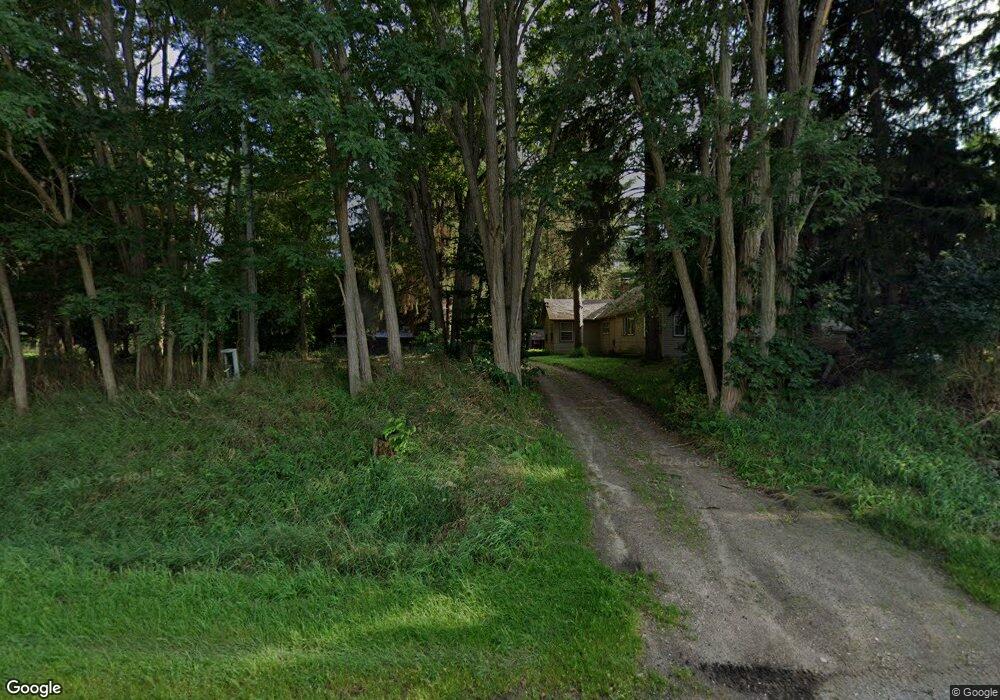
4929 E Us Highway 10 Custer, MI 49405
Estimated Value: $182,000 - $574,000
Studio
--
Bath
2,845
Sq Ft
$106/Sq Ft
Est. Value
About This Home
This home is located at 4929 E Us Highway 10, Custer, MI 49405 and is currently estimated at $302,546, approximately $106 per square foot. 4929 E Us Highway 10 is a home located in Mason County with nearby schools including Mason County Eastern Elementary School and Mason County Eastern Middle/High School.
Ownership History
Date
Name
Owned For
Owner Type
Purchase Details
Closed on
Jul 11, 2022
Sold by
Thaler Nicole
Bought by
Shoup Abraham C and Shoup Paul T
Current Estimated Value
Home Financials for this Owner
Home Financials are based on the most recent Mortgage that was taken out on this home.
Original Mortgage
$169,100
Outstanding Balance
$159,580
Interest Rate
4.38%
Mortgage Type
New Conventional
Estimated Equity
$142,966
Purchase Details
Closed on
Jul 6, 2022
Sold by
Dereske Raymond C and Dereske Barbara
Bought by
Thaler Adam and Thaler Nicole
Home Financials for this Owner
Home Financials are based on the most recent Mortgage that was taken out on this home.
Original Mortgage
$169,100
Outstanding Balance
$159,580
Interest Rate
4.38%
Mortgage Type
New Conventional
Estimated Equity
$142,966
Purchase Details
Closed on
Jan 1, 2015
Sold by
Dereske Raymond C and Dereske Barbara
Bought by
Thaler Adam and Thaler Nicole
Home Financials for this Owner
Home Financials are based on the most recent Mortgage that was taken out on this home.
Original Mortgage
$85,000
Interest Rate
3%
Mortgage Type
Seller Take Back
Create a Home Valuation Report for This Property
The Home Valuation Report is an in-depth analysis detailing your home's value as well as a comparison with similar homes in the area
Purchase History
| Date | Buyer | Sale Price | Title Company |
|---|---|---|---|
| Shoup Abraham C | $178,000 | None Listed On Document | |
| Thaler Nicole | -- | None Listed On Document | |
| Thaler Adam | $85,000 | None Listed On Document | |
| Thaler Adam | $85,000 | None Available |
Source: Public Records
Mortgage History
| Date | Status | Borrower | Loan Amount |
|---|---|---|---|
| Open | Shoup Abraham C | $169,100 | |
| Previous Owner | Thaler Adam | $85,000 |
Source: Public Records
Tax History
| Year | Tax Paid | Tax Assessment Tax Assessment Total Assessment is a certain percentage of the fair market value that is determined by local assessors to be the total taxable value of land and additions on the property. | Land | Improvement |
|---|---|---|---|---|
| 2025 | $1,820 | $93,300 | $11,200 | $82,100 |
| 2024 | -- | $83,000 | $11,200 | $71,800 |
| 2023 | -- | $66,200 | $66,200 | $0 |
| 2022 | -- | $58,400 | $0 | $0 |
| 2020 | $3,748 | $53,000 | $0 | $0 |
Source: Public Records
Map
Nearby Homes
- 9554 Highway 10 NW
- 6270 S Woods Trail
- Lot 108 Stella St
- 520 N Campbell Rd
- N Stephens Rd
- 120 N Main St
- 270 N Jack Pine Rd
- 1754 Maggie St
- 7801 E Navajo Trail
- VL Sherman Rd
- V/L 1.47A N Tallman Lake Rd
- V L 1 47a North Tallman Lake Rd
- 2261 N Tallman Lake Rd
- 7832 U S 10
- 2866 N Reek Rd
- 1742 N Custer Rd
- 8099 E Johnson Rd
- V/L 20A N Campbell Rd
- 2577 S Custer Rd
- 8570 U S 10
- 4936 E Us Highway 10
- 4936 E Us Highway 10
- 4764 E Us Highway 10
- 5074 E Us Highway 10
- 5154 E Us Highway 10
- 4655 E 1st St
- 160 Dandt Rd
- 4587 E Us Highway 10
- 4587 E Us Highway 10
- 4587 E Us Highway 10
- 4592 E Us Highway 10
- 280 S Budzynski Rd
- 4563 U S 10
- 4563 E Us Highway 10
- 4563 E Us Highway 10
- 4815 E 1st St
- 4815 E 1st St
- 4815 E 1st St
- 4815 E 1st St
- 4965 E 1st St
Your Personal Tour Guide
Ask me questions while you tour the home.