
Seller's Agent in 2018
Linda Turpin
Re/Max Of Albany
(229) 881-1529
106 Total Sales


Estimated Value: $664,000 - $831,000
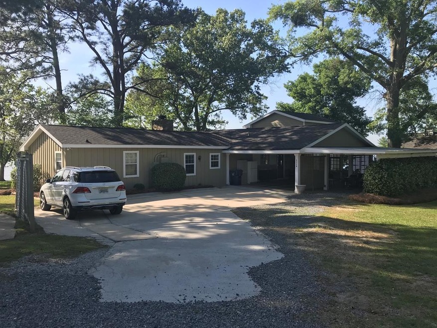
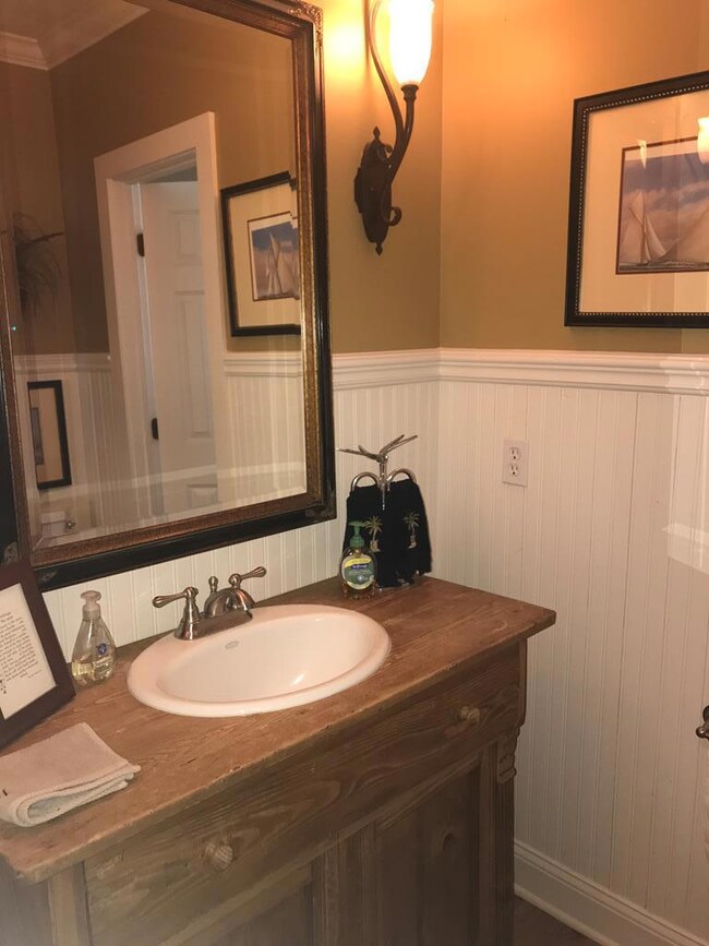
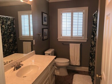
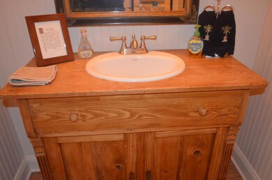
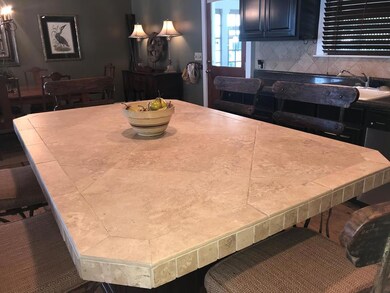
REDUCED -Great THE COMPOUND on Lakeshore Way has a fabulous view of the lake and this home it all. Two docks to enjoy the water and a screen porch that overlooks it all. This is a split floor plan with 2 bedrooms on each end. Lake living awaits you and located on the big Water on Lake Blackshear. This Cottage design has a breathtaking view of the water! Spacious design with over 2700 sq. ft. 4 bedrooms and 4 baths. Gorgeous kitchen with updated cabinets, counter-tops and appliances. Wood , tile, & carpet, flooring in the lovely home . Wide open views of the lake from the kitchen and living room and view from the bedrooms. . Stunning master suite complete with lake view. Screen Porch off the Den area that has incredible view of the lake with vaulted ceiling and great for grilling and entertaining alongside the gorgeous lake. Boat Dock with space for your boats and deck area. Dock has Water and Cable run for your entertainment complete with 2 dock areas. . This is an unbelievable find with 246 feet of water frontage. Great outside workshop from sa southern living design. Don't wait to see this gorgeous home, call your agent today for details and a private tour! Owner is a licensed Realtor in the state of Georgia.
Last Agent to Sell the Property
Re/Max Of Albany Brokerage Phone: 2294341600 License #162005 Listed on: 09/29/2018
Last Buyer's Agent
Re/Max Of Albany Brokerage Phone: 2294341600 License #162005 Listed on: 09/29/2018
| Date | Buyer | Sale Price | Title Company |
|---|---|---|---|
| Holton James M | $499,000 | -- | |
| Hearon H Lawson | -- | -- | |
| Hearon Lawson H | $140,000 | -- | |
| Simpson Sonja G | -- | -- | |
| Simpson David J | -- | -- |
| Date | Event | Price | List to Sale | Price per Sq Ft |
|---|---|---|---|---|
| 11/02/2018 11/02/18 | Sold | $499,900 | -- | $181 / Sq Ft |
| 09/29/2018 09/29/18 | Pending | -- | -- | -- |
| Year | Tax Paid | Tax Assessment Tax Assessment Total Assessment is a certain percentage of the fair market value that is determined by local assessors to be the total taxable value of land and additions on the property. | Land | Improvement |
|---|---|---|---|---|
| 2024 | $6,206 | $229,223 | $91,728 | $137,495 |
| 2023 | $5,459 | $194,383 | $91,728 | $102,655 |
| 2022 | $5,311 | $189,114 | $91,728 | $97,386 |
| 2021 | $5,140 | $173,341 | $91,728 | $81,613 |
| 2020 | $5,148 | $173,341 | $91,728 | $81,613 |
| 2019 | $5,115 | $173,341 | $91,728 | $81,613 |
| 2018 | $3,465 | $115,149 | $60,561 | $54,588 |
| 2017 | $3,541 | $115,149 | $60,561 | $54,588 |
| 2016 | $3,475 | $115,149 | $60,561 | $54,588 |
| 2015 | -- | $115,149 | $60,561 | $54,588 |
| 2014 | -- | $115,149 | $60,561 | $54,588 |
| 2013 | -- | $115,148 | $60,561 | $54,587 |
Seller's Agent in 2018
Linda Turpin
Re/Max Of Albany
(229) 881-1529
106 Total Sales
Source: Albany Board of REALTORS®
MLS Number: 140734
APN: 009A-024