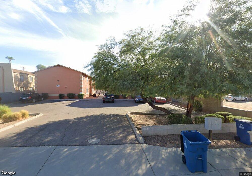
493 E 10th Ave Apache Junction, AZ 85119
Estimated Value: $503,000 - $595,000
2
Beds
2
Baths
420
Sq Ft
$1,321/Sq Ft
Est. Value
About This Home
This home is located at 493 E 10th Ave, Apache Junction, AZ 85119 and is currently estimated at $554,668, approximately $1,320 per square foot. 493 E 10th Ave is a home located in Pinal County with nearby schools including Peralta Trail Elementary School, Cactus Canyon Junior High School, and Apache Junction High School.
Ownership History
Date
Name
Owned For
Owner Type
Purchase Details
Closed on
Apr 16, 2020
Sold by
Pearson Lillian Janet
Bought by
Pearson Lillian Janet and Lillian Janet Pearson Trust
Current Estimated Value
Purchase Details
Closed on
Apr 3, 2018
Sold by
Mba Investment Team Llc
Bought by
Pearson Lillian Janet
Purchase Details
Closed on
Mar 26, 2018
Sold by
Sorkhabi Arian
Bought by
Mba Investment Team Llc
Purchase Details
Closed on
Sep 29, 2003
Sold by
Habiba Maha W
Bought by
Sorkhabi Arian
Purchase Details
Closed on
Jan 16, 2003
Sold by
Batt Gerald S
Bought by
Batt Gerald S and Batt Christine C
Purchase Details
Closed on
Nov 8, 1996
Sold by
Bob Soltis Inc
Bought by
Voeth Harry A and Voeth Muriel L
Create a Home Valuation Report for This Property
The Home Valuation Report is an in-depth analysis detailing your home's value as well as a comparison with similar homes in the area
Home Values in the Area
Average Home Value in this Area
Purchase History
| Date | Buyer | Sale Price | Title Company |
|---|---|---|---|
| Pearson Lillian Janet | -- | None Available | |
| Pearson Lillian Janet | $300,000 | First Arizona Title Agency L | |
| Mba Investment Team Llc | -- | Accommodation | |
| Sorkhabi Arian | -- | Chicago Title Insurance Co | |
| Batt Gerald S | -- | Chicago Title Insurance Co | |
| Voeth Harry A | $12,900 | Nations Title Insurance |
Source: Public Records
Tax History
| Year | Tax Paid | Tax Assessment Tax Assessment Total Assessment is a certain percentage of the fair market value that is determined by local assessors to be the total taxable value of land and additions on the property. | Land | Improvement |
|---|---|---|---|---|
| 2025 | $2,325 | $36,192 | -- | -- |
| 2024 | $2,235 | $36,524 | -- | -- |
| 2023 | $2,289 | $27,290 | $3,748 | $23,542 |
| 2022 | $2,194 | $25,122 | $3,748 | $21,374 |
| 2021 | $2,235 | $24,986 | $0 | $0 |
| 2020 | $2,178 | $22,280 | $0 | $0 |
| 2019 | $2,089 | $21,661 | $0 | $0 |
| 2018 | $375 | $19,201 | $0 | $0 |
| 2017 | $365 | $18,804 | $0 | $0 |
| 2016 | $356 | $2,176 | $1,100 | $1,076 |
Source: Public Records
Map
Nearby Homes
- 451 E 10th Ave
- 538 E Fred Ave
- 1357 S Kiowa Cir Unit 357
- 1001 Kiowa Cir
- 1177 Kiowa Cir Unit 177
- 880 S Royal Palm Rd Unit LOT 1
- XXX E Compound Lot 2 C Trail Unit C
- 30 E 14th Ave
- 1139 Sioux Dr Unit 139
- 1157 Sioux Dr Unit 157
- 1358 W Kowa Cir Unit 358
- 1135 S Sioux Dr
- 1276 Shawnee Dr Unit 276
- 1127 S Shawnee Dr
- 1262 S Shawnee Dr
- 1038 E Friar Ave
- 900 S Idaho Rd Unit 9
- 900 S Idaho Rd Unit 58
- 1098 Shoshone Dr Unit 98
- 1079 Shoshone Dr Unit 79
- 493 E 10th Ave Unit 11,12.
- 493 E 10th Ave Unit 21
- 493 E 10th Ave Unit 11
- 483 E 10th Ave Unit D
- 483 E 10th Ave
- 507 E 10th Ave
- 507 E 10th Ave Unit 20
- 507 E 10th Ave Unit 10
- 507 E 10th Ave Unit 11
- 507 E 10th Ave Unit 21
- 485 E 10th Ave
- 465 E 10th Ave
- 508 E Desert Ave
- 446 E Desert Ave
- 520 E Desert Ave
- 529 E 10th Ave
- 435 E 10th Ave
- 432 E Desert Ave
- 417 E 10th Ave
- 510 E 10th Ave Unit B1
Your Personal Tour Guide
Ask me questions while you tour the home.