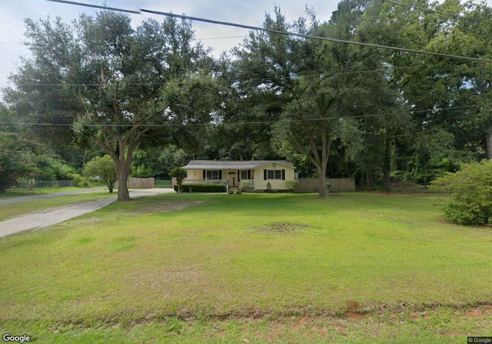
493 Embassy Dr Summerville, SC 29483
Estimated Value: $207,000 - $260,000
2
Beds
1
Bath
999
Sq Ft
$237/Sq Ft
Est. Value
About This Home
This home is located at 493 Embassy Dr, Summerville, SC 29483 and is currently estimated at $237,187, approximately $237 per square foot. 493 Embassy Dr is a home located in Dorchester County with nearby schools including Newington Elementary School, Charles B. DuBose Middle School, and Summerville High School.
Ownership History
Date
Name
Owned For
Owner Type
Purchase Details
Closed on
Apr 18, 2008
Sold by
Greenway Barbara G
Bought by
Vitalie Michael J
Current Estimated Value
Home Financials for this Owner
Home Financials are based on the most recent Mortgage that was taken out on this home.
Original Mortgage
$81,000
Outstanding Balance
$51,375
Interest Rate
6.08%
Mortgage Type
Purchase Money Mortgage
Estimated Equity
$185,812
Purchase Details
Closed on
Aug 22, 2003
Sold by
Lockerman Scott C and Lockerman Karen
Bought by
Greenway Barbara G and Vitalie Michael J
Create a Home Valuation Report for This Property
The Home Valuation Report is an in-depth analysis detailing your home's value as well as a comparison with similar homes in the area
Home Values in the Area
Average Home Value in this Area
Purchase History
| Date | Buyer | Sale Price | Title Company |
|---|---|---|---|
| Vitalie Michael J | -- | -- | |
| Greenway Barbara G | $75,000 | -- |
Source: Public Records
Mortgage History
| Date | Status | Borrower | Loan Amount |
|---|---|---|---|
| Open | Vitalie Michael J | $81,000 |
Source: Public Records
Tax History Compared to Growth
Tax History
| Year | Tax Paid | Tax Assessment Tax Assessment Total Assessment is a certain percentage of the fair market value that is determined by local assessors to be the total taxable value of land and additions on the property. | Land | Improvement |
|---|---|---|---|---|
| 2024 | $564 | $8,633 | $3,016 | $5,617 |
| 2023 | $564 | $4,328 | $1,600 | $2,728 |
| 2022 | $807 | $3,940 | $930 | $3,010 |
| 2021 | $807 | $3,940 | $930 | $3,010 |
| 2020 | $733 | $3,430 | $810 | $2,620 |
| 2019 | $712 | $3,430 | $810 | $2,620 |
| 2018 | $633 | $3,430 | $810 | $2,620 |
| 2017 | $630 | $3,430 | $810 | $2,620 |
| 2016 | $620 | $3,430 | $810 | $2,620 |
| 2015 | $618 | $3,430 | $810 | $2,620 |
| 2014 | $698 | $102,100 | $0 | $0 |
| 2013 | -- | $4,080 | $0 | $0 |
Source: Public Records
Map
Nearby Homes
- 385 Embassy Dr
- 126 Mizzell Rd
- 5021 Blair Rd
- Brewster Plan at Central Estates
- Adams Plan at Central Estates
- Sumter Plan at Central Estates
- Mercer Plan at Central Estates
- Putnam Plan at Central Estates
- 1968 Central Ave
- Ludington Plan at Central Estates
- Morgan Plan at Central Estates
- 1964 Central Ave
- 1960 Central Ave
- 4021 Sanderson Ln
- 1956 Central Ave
- 127 Roberts Rd
- 4008 Sanderson Ln
- 133 Stephanie Cir
- 208 Cherry Grove Dr
- 0 Old Tower Rd
- 485 Embassy Dr
- 500 Embassy Dr
- 119 Sand Dollar Ln
- 477 Embassy Dr
- 484 Embassy Dr
- 521 Embassy Dr
- 123 Sand Dollar Ln
- 474 Embassy Dr
- 2007 Central Ave
- 21 County Road S-18-538
- 2011 Central Ave
- 458 Embassy Dr
- 2009 Central Ave
- 123 Faith Ln
- 1005 Moss Haven Ln
- 2001 Central Ave
- 0 Moss Haven Ln Unit 2821904
- 135 Faith Ln
- 0 Weeping Willow Ln Unit 2533096
- 0 Weeping Willow Ln Unit 22025141