493 Forest St Dunstable, MA 01827
Estimated Value: $977,000 - $1,379,434
Studio
1
Bath
4,302
Sq Ft
$275/Sq Ft
Est. Value
About This Home
This home is located at 493 Forest St, Dunstable, MA 01827 and is currently estimated at $1,183,109, approximately $275 per square foot. 493 Forest St is a home with nearby schools including Groton Dunstable Regional High School.
Ownership History
Date
Name
Owned For
Owner Type
Purchase Details
Closed on
Oct 3, 2018
Sold by
Bertrand T
Bought by
Bertrand T
Current Estimated Value
Create a Home Valuation Report for This Property
The Home Valuation Report is an in-depth analysis detailing your home's value as well as a comparison with similar homes in the area
Home Values in the Area
Average Home Value in this Area
Purchase History
| Date | Buyer | Sale Price | Title Company |
|---|---|---|---|
| Bertrand T | -- | -- |
Source: Public Records
Tax History
| Year | Tax Paid | Tax Assessment Tax Assessment Total Assessment is a certain percentage of the fair market value that is determined by local assessors to be the total taxable value of land and additions on the property. | Land | Improvement |
|---|---|---|---|---|
| 2025 | $16,283 | $1,184,200 | $268,700 | $915,500 |
| 2024 | $13,349 | $956,200 | $239,800 | $716,400 |
| 2023 | $13,094 | $874,700 | $239,800 | $634,900 |
| 2022 | $12,529 | $821,600 | $239,800 | $581,800 |
| 2021 | $0 | $755,200 | $217,200 | $538,000 |
| 2020 | $245,315 | $217,200 | $217,200 | $0 |
| 2019 | $24 | $1,403 | $1,403 | $0 |
| 2018 | $26 | $1,460 | $1,460 | $0 |
Source: Public Records
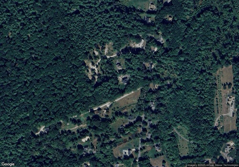
Map
Nearby Homes
- 0 Lowell St
- 153 Off Pond St
- 16 Cannongate Rd Unit 16
- 160 Westford Rd
- 319 Pleasant St
- 22 Highland Rd
- 0 Dunstable Rd
- 62 Brook St
- 660 Old Dunstable Rd
- 103 Pondview Place Unit 103
- 14 Centercrest Dr Unit 14
- 2 Wildflower Ln
- 34 Shakespeare St
- 24 Old Tyng Rd
- 1 Appian Way
- 2 Strawberry Bank Rd Unit 17
- 56 Frost Rd
- 4 Heritage Village Dr
- 13 Long Rd
- 21 Merrimac Way Unit D
Your Personal Tour Guide
Ask me questions while you tour the home.