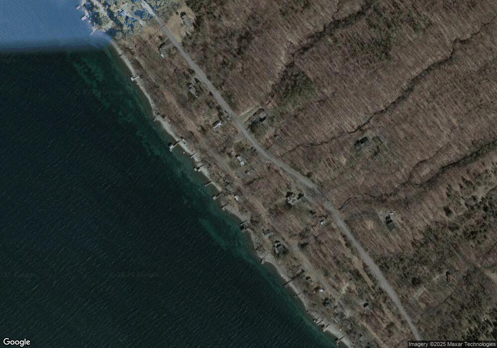
493 Lansing Station Rd Lansing, NY 14882
Estimated Value: $460,000 - $498,480
1
Bed
1
Bath
1,323
Sq Ft
$367/Sq Ft
Est. Value
About This Home
This home is located at 493 Lansing Station Rd, Lansing, NY 14882 and is currently estimated at $486,120, approximately $367 per square foot. 493 Lansing Station Rd is a home located in Tompkins County with nearby schools including Raymond C. Buckley Elementary School, Lansing Middle School, and Lansing High School.
Ownership History
Date
Name
Owned For
Owner Type
Purchase Details
Closed on
May 10, 2022
Sold by
Barron Nedrow Carlson Ft
Bought by
Nedrow Steven
Current Estimated Value
Home Financials for this Owner
Home Financials are based on the most recent Mortgage that was taken out on this home.
Original Mortgage
$200,000
Outstanding Balance
$190,030
Interest Rate
5.27%
Mortgage Type
Purchase Money Mortgage
Estimated Equity
$296,090
Purchase Details
Closed on
Oct 31, 2013
Sold by
Barron Cathy E
Bought by
Barron-Nedrow-Carlson Family Trust
Create a Home Valuation Report for This Property
The Home Valuation Report is an in-depth analysis detailing your home's value as well as a comparison with similar homes in the area
Home Values in the Area
Average Home Value in this Area
Purchase History
| Date | Buyer | Sale Price | Title Company |
|---|---|---|---|
| Nedrow Steven | $375,000 | None Available | |
| Barron-Nedrow-Carlson Family Trust | -- | John Moss Hinchcliff |
Source: Public Records
Mortgage History
| Date | Status | Borrower | Loan Amount |
|---|---|---|---|
| Open | Nedrow Steven | $200,000 |
Source: Public Records
Tax History Compared to Growth
Tax History
| Year | Tax Paid | Tax Assessment Tax Assessment Total Assessment is a certain percentage of the fair market value that is determined by local assessors to be the total taxable value of land and additions on the property. | Land | Improvement |
|---|---|---|---|---|
| 2024 | $10,469 | $418,000 | $131,300 | $286,700 |
| 2023 | $10,488 | $380,000 | $131,300 | $248,700 |
| 2022 | $10,831 | $380,000 | $131,300 | $248,700 |
| 2021 | $10,201 | $340,000 | $131,300 | $208,700 |
| 2020 | $10,301 | $340,000 | $131,300 | $208,700 |
| 2019 | $3,049 | $340,000 | $131,300 | $208,700 |
| 2018 | $10,206 | $340,000 | $131,300 | $208,700 |
| 2017 | $7,110 | $340,000 | $131,300 | $208,700 |
| 2016 | $8,082 | $270,000 | $85,800 | $184,200 |
| 2015 | -- | $270,000 | $85,800 | $184,200 |
| 2014 | -- | $270,000 | $85,800 | $184,200 |
Source: Public Records
Map
Nearby Homes
- 0 Lansing Station Rd Unit R1588754
- 0 Lansing Station Rd Unit 408039
- 83 Algerine Rd
- 5234 Oak Harbor Rd- Lot #10
- 5217 Oak Harbor Rd
- 0 Frontenac Rd
- 108 Davis Rd
- 3040 Frontenac Rd
- 4364 Lower Covert Rd
- 0 Seneca St
- 9230 State Route 96
- Lot 2 Camp St
- Lot 3 Camp St
- 0 Camp St
- 14 Crescent Way
- 4 Crescent Way
- 22 Crescent Way
- 34 Crescent Way
- 8 Crescent Way
- 26 Crescent Way
- 501 Lansing Station Rd
- 489 Lansing Station Rd
- 429 Lansing Station Rd
- 506 Lansing Station Rd
- 511 Lansing Station Rd
- 457 Lansing Station Rd
- 517 Lansing Station Rd
- 425 Lansing Station Rd
- 535 Lansing Station Rd
- 417 Lansing Station Rd
- 456 Lansing Station Rd
- 413 Lansing Station Rd
- 409 Lansing Station Rd
- 557 Lansing Station Rd
- 424 Lansing Station Rd
- 403 Lansing Station Rd
- 395 Lansing Station Rd
- 391 Lansing Station Rd
- 558 Lansing Station Rd
- 383 Lansing Station Rd
