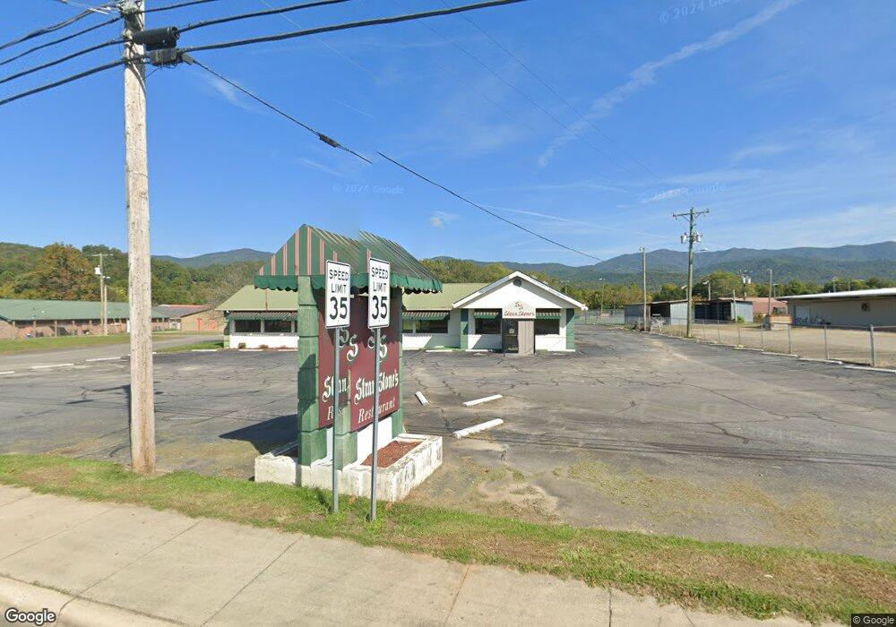
493 Main St Andrews, NC 28901
Estimated Value: $171,550
--
Bed
--
Bath
2,914
Sq Ft
$59/Sq Ft
Est. Value
About This Home
This home is located at 493 Main St, Andrews, NC 28901 and is currently estimated at $171,550, approximately $58 per square foot. 493 Main St is a home located in Cherokee County with nearby schools including Andrews Elementary School, Andrews Middle School, and Andrews High School.
Ownership History
Date
Name
Owned For
Owner Type
Purchase Details
Closed on
Jun 18, 2018
Sold by
Stranstone Inc
Bought by
Llamas Francisco A Solorio and Solorio Jose Manuel
Current Estimated Value
Purchase Details
Closed on
Oct 1, 1990
Bought by
Stranstone Inc
Create a Home Valuation Report for This Property
The Home Valuation Report is an in-depth analysis detailing your home's value as well as a comparison with similar homes in the area
Home Values in the Area
Average Home Value in this Area
Purchase History
| Date | Buyer | Sale Price | Title Company |
|---|---|---|---|
| Llamas Francisco A Solorio | $93,000 | None Available | |
| Stranstone Inc | $61,300 | -- |
Source: Public Records
Tax History Compared to Growth
Tax History
| Year | Tax Paid | Tax Assessment Tax Assessment Total Assessment is a certain percentage of the fair market value that is determined by local assessors to be the total taxable value of land and additions on the property. | Land | Improvement |
|---|---|---|---|---|
| 2025 | $546 | $89,530 | $0 | $0 |
| 2024 | $546 | $89,530 | $0 | $0 |
| 2023 | $546 | $89,530 | $0 | $0 |
| 2022 | $546 | $89,530 | $0 | $0 |
| 2021 | $448 | $89,530 | $56,400 | $33,130 |
| 2020 | $891 | $89,530 | $0 | $0 |
| 2019 | $891 | $171,340 | $0 | $0 |
| 2018 | $891 | $171,340 | $0 | $0 |
| 2017 | $891 | $171,340 | $0 | $0 |
| 2016 | $891 | $171,340 | $0 | $0 |
| 2015 | $891 | $171,340 | $117,500 | $53,840 |
| 2012 | -- | $277,680 | $182,130 | $95,550 |
Source: Public Records
Map
Nearby Homes
- 61 Fairview Rd
- 96 Connaheta Ave
- 270 Cover Ave
- 45 Caboose Creek Ln
- 00 Main & Whitaker
- 000 Holland Farm Rd
- 000 Chestnut St
- 00 River Dance Dr
- TBD Colvard Ave
- 110 Fisher St
- 196 Johnson Ridge
- 4.27 Upper Valley Ln
- 1194 Main St
- 114 Sioux St
- 1229 Main St
- 00 U S 19
- 27 Russell Farm Rd
- 60 Tarrent St
- 00 Airport Rd
- 00 Main St