493 Rifle Way Broomfield, CO 80020
Country Estates NeighborhoodEstimated Value: $861,304 - $1,034,000
3
Beds
3
Baths
2,695
Sq Ft
$345/Sq Ft
Est. Value
About This Home
This home is located at 493 Rifle Way, Broomfield, CO 80020 and is currently estimated at $929,076, approximately $344 per square foot. 493 Rifle Way is a home located in Broomfield County with nearby schools including Aspen Creek K-8 School, Broomfield High School, and Nativity: Faith and Reason.
Ownership History
Date
Name
Owned For
Owner Type
Purchase Details
Closed on
Aug 14, 2020
Sold by
Ball Emerson and Ball Judy Kay
Bought by
Lacek David A and Lacek Janice B
Current Estimated Value
Home Financials for this Owner
Home Financials are based on the most recent Mortgage that was taken out on this home.
Original Mortgage
$507,000
Outstanding Balance
$449,745
Interest Rate
3%
Mortgage Type
New Conventional
Estimated Equity
$479,331
Purchase Details
Closed on
Apr 6, 2011
Sold by
Sheffield Homes Country Estates Llc
Bought by
Ball Emerson and Ball Judy Kay
Purchase Details
Closed on
Jun 3, 1998
Create a Home Valuation Report for This Property
The Home Valuation Report is an in-depth analysis detailing your home's value as well as a comparison with similar homes in the area
Home Values in the Area
Average Home Value in this Area
Purchase History
| Date | Buyer | Sale Price | Title Company |
|---|---|---|---|
| Lacek David A | $676,000 | Land Title Guarantee Co | |
| Ball Emerson | $445,000 | Land Title Guarantee Company | |
| -- | -- | -- |
Source: Public Records
Mortgage History
| Date | Status | Borrower | Loan Amount |
|---|---|---|---|
| Open | Lacek David A | $507,000 |
Source: Public Records
Tax History Compared to Growth
Tax History
| Year | Tax Paid | Tax Assessment Tax Assessment Total Assessment is a certain percentage of the fair market value that is determined by local assessors to be the total taxable value of land and additions on the property. | Land | Improvement |
|---|---|---|---|---|
| 2025 | $5,418 | $62,100 | $12,190 | $49,910 |
| 2024 | $5,418 | $57,820 | $11,460 | $46,360 |
| 2023 | $5,407 | $66,080 | $12,650 | $53,430 |
| 2022 | $4,658 | $48,180 | $9,040 | $39,140 |
| 2021 | $4,634 | $49,570 | $9,300 | $40,270 |
| 2020 | $4,204 | $44,690 | $8,180 | $36,510 |
| 2019 | $4,196 | $47,040 | $8,240 | $38,800 |
| 2018 | $3,595 | $38,090 | $6,880 | $31,210 |
| 2017 | $3,541 | $43,830 | $7,610 | $36,220 |
| 2016 | $3,701 | $39,250 | $7,820 | $31,430 |
| 2015 | $3,574 | $35,590 | $7,820 | $27,770 |
| 2014 | $3,312 | $35,590 | $7,820 | $27,770 |
Source: Public Records
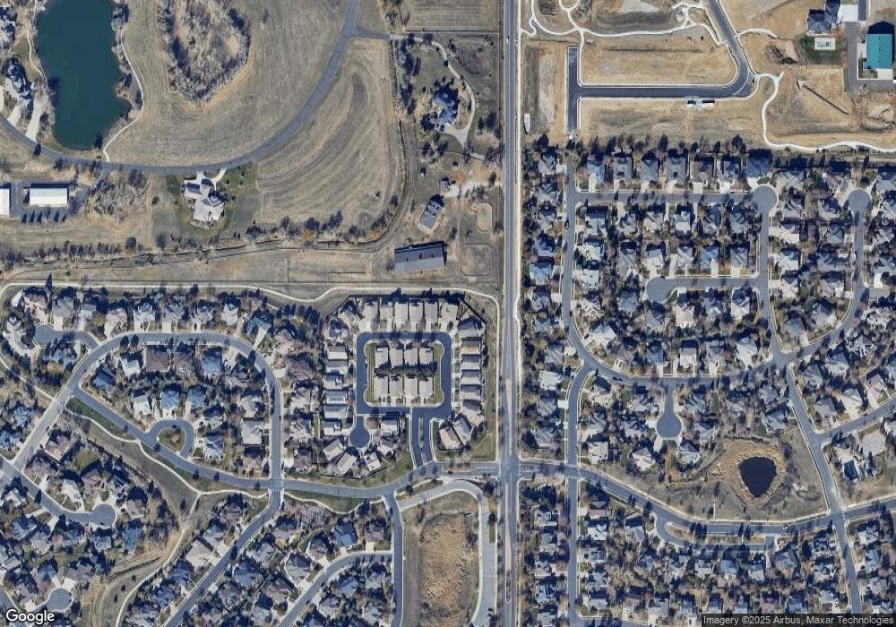
Map
Nearby Homes
- 13924 Quail Ridge Dr
- 1747 Whistlepig Ln
- 1757 Whistlepig Ln
- 14111 Blue Stem St
- 14115 Blue Stem St
- 5704 W 141st Place
- Torrey Plan at Dillon Pointe
- Evans Plan at Dillon Pointe
- Antero Plan at Dillon Pointe
- 13980 Willow Wood Dr
- 14223 Currant St
- Varra Plan at Dillon Pointe - Dillon Pointe - Journey
- Mckay Plan at Dillon Pointe - Dillon Pointe - Journey
- Quail Plan at Dillon Pointe - Dillon Pointe - Journey
- Carolyn Plan at Dillon Pointe - Dillon Pointe - Journey
- Ruth Plan at Dillon Pointe - Dillon Pointe - Journey
- Ellie Plan at Dillon Pointe - Dillon Pointe - Journey
- Antora Plan at Dillon Pointe - Dillon Pointe - Skyview
- Blanca Plan at Dillon Pointe - Dillon Pointe - Skyview
- Columbia Plan at Dillon Pointe - Dillon Pointe - Skyview