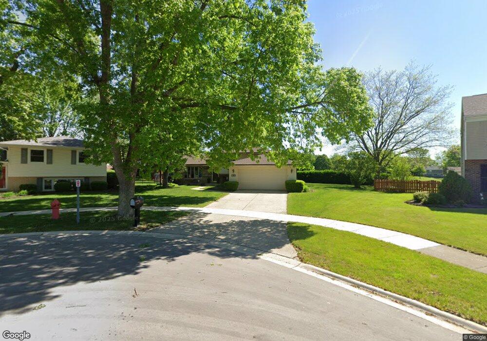
493 Sheridan Ln Schaumburg, IL 60193
East Schaumburg NeighborhoodEstimated Value: $404,000 - $500,000
3
Beds
2
Baths
1,186
Sq Ft
$378/Sq Ft
Est. Value
About This Home
This home is located at 493 Sheridan Ln, Schaumburg, IL 60193 and is currently estimated at $448,183, approximately $377 per square foot. 493 Sheridan Ln is a home located in Cook County with nearby schools including Michael Collins Elementary School, Robert Frost Junior High School, and J B Conant High School.
Ownership History
Date
Name
Owned For
Owner Type
Purchase Details
Closed on
Dec 30, 2004
Sold by
Lawson John R and Lawson Laura A
Bought by
Giusto James V and Giusto Joan C
Current Estimated Value
Purchase Details
Closed on
Mar 12, 2001
Sold by
Lawson John R and Lawson Laura A
Bought by
Lawson John R and Lawson Laura A
Create a Home Valuation Report for This Property
The Home Valuation Report is an in-depth analysis detailing your home's value as well as a comparison with similar homes in the area
Home Values in the Area
Average Home Value in this Area
Purchase History
| Date | Buyer | Sale Price | Title Company |
|---|---|---|---|
| Giusto James V | $365,000 | Professional National Title | |
| Lawson John R | -- | -- |
Source: Public Records
Tax History Compared to Growth
Tax History
| Year | Tax Paid | Tax Assessment Tax Assessment Total Assessment is a certain percentage of the fair market value that is determined by local assessors to be the total taxable value of land and additions on the property. | Land | Improvement |
|---|---|---|---|---|
| 2024 | $10,084 | $36,000 | $7,754 | $28,246 |
| 2023 | $9,779 | $36,000 | $7,754 | $28,246 |
| 2022 | $9,779 | $36,000 | $7,754 | $28,246 |
| 2021 | $8,350 | $27,549 | $5,245 | $22,304 |
| 2020 | $8,206 | $27,549 | $5,245 | $22,304 |
| 2019 | $8,205 | $30,610 | $5,245 | $25,365 |
| 2018 | $8,253 | $27,499 | $4,332 | $23,167 |
| 2017 | $8,123 | $27,499 | $4,332 | $23,167 |
| 2016 | $7,596 | $27,499 | $4,332 | $23,167 |
| 2015 | $8,073 | $26,986 | $3,648 | $23,338 |
| 2014 | $7,225 | $26,986 | $3,648 | $23,338 |
| 2013 | $7,022 | $26,986 | $3,648 | $23,338 |
Source: Public Records
Map
Nearby Homes
- 421 Summit Dr
- 300 S Roselle Rd Unit 519
- 300 S Roselle Rd Unit 419
- 300 S Roselle Rd Unit 116
- 300 S Roselle Rd Unit 207
- 125 Cleveland Ct Unit M2
- 287 Pembridge Ln Unit B2
- 711 Tipperary Ct Unit 2D
- 614 Tralee Ct Unit 2-C
- 22 Waterbury Ln Unit N1
- 91 Lambert Dr Unit B1
- 733 Limerick Ln Unit 7333D
- 631 Derry Ct Unit 3C
- 727 Killarney Ct Unit 1C
- 635 Limerick Ln Unit 2B
- 85 Marble Hill Ct Unit A1
- 350 Newgate Ct Unit 2Z
- 916 Manchester Cir Unit 91A
- 126 Manchester Ct Unit 61B
- 223 Gareth Ln
- 124 Dorset Ln
- 497 Sheridan Ln
- 417 Fairfield Ct
- 415 Fairfield Ct
- 419 Fairfield Ct
- 421 Fairfield Ct
- 120 Dorset Ln
- 501 Sheridan Ln
- 425 Fairfield Ct
- 427 Fairfield Ct
- 496 Sheridan Ln
- 429 Fairfield Ct
- 116 Dorset Ln
- 431 Fairfield Ct
- 411 Fairfield Ct
- 505 Sheridan Ln
- 410 Fairfield Ct
- 119 Dorset Ln
- 409 Fairfield Ct
- 408 Fairfield Ct