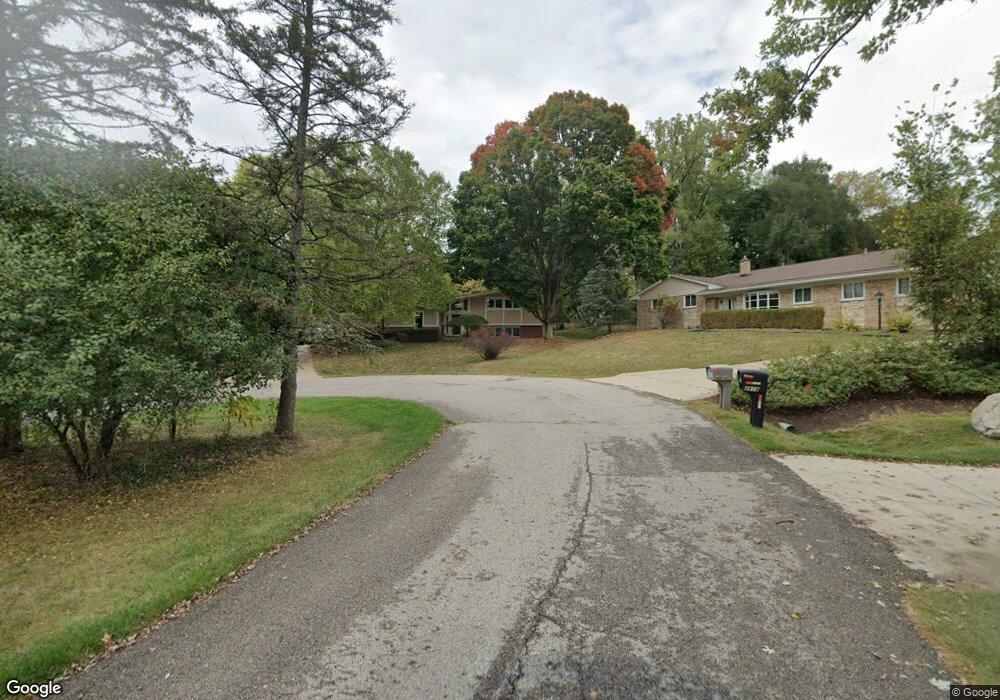
4930 Broomfield Ct West Bloomfield, MI 48322
Estimated Value: $455,257 - $539,000
3
Beds
3
Baths
2,488
Sq Ft
$193/Sq Ft
Est. Value
About This Home
This home is located at 4930 Broomfield Ct, West Bloomfield, MI 48322 and is currently estimated at $480,564, approximately $193 per square foot. 4930 Broomfield Ct is a home located in Oakland County with nearby schools including Wylie E. Groves High School, West Maple Elementary School, and Berkshire Middle School.
Ownership History
Date
Name
Owned For
Owner Type
Purchase Details
Closed on
Apr 28, 1995
Sold by
White Janet S
Bought by
Hurite John M and Hurite Laurel E
Current Estimated Value
Home Financials for this Owner
Home Financials are based on the most recent Mortgage that was taken out on this home.
Original Mortgage
$123,000
Interest Rate
8.26%
Mortgage Type
New Conventional
Create a Home Valuation Report for This Property
The Home Valuation Report is an in-depth analysis detailing your home's value as well as a comparison with similar homes in the area
Home Values in the Area
Average Home Value in this Area
Purchase History
| Date | Buyer | Sale Price | Title Company |
|---|---|---|---|
| Hurite John M | $177,000 | -- |
Source: Public Records
Mortgage History
| Date | Status | Borrower | Loan Amount |
|---|---|---|---|
| Closed | Hurite John M | $123,000 |
Source: Public Records
Tax History Compared to Growth
Tax History
| Year | Tax Paid | Tax Assessment Tax Assessment Total Assessment is a certain percentage of the fair market value that is determined by local assessors to be the total taxable value of land and additions on the property. | Land | Improvement |
|---|---|---|---|---|
| 2024 | $2,147 | $181,230 | $0 | $0 |
| 2022 | $2,060 | $161,170 | $52,500 | $108,670 |
| 2021 | $3,476 | $143,280 | $0 | $0 |
| 2020 | $1,979 | $141,950 | $44,250 | $97,700 |
| 2018 | $3,429 | $126,930 | $28,860 | $98,070 |
| 2015 | -- | $94,150 | $0 | $0 |
| 2014 | -- | $90,210 | $0 | $0 |
| 2011 | -- | $82,210 | $0 | $0 |
Source: Public Records
Map
Nearby Homes
- 2014 Waldons Ct
- 6800 N Clunbury Rd
- 6730 Halyard Rd
- 7371 Lindenmere Dr
- 7315 Lindenmere Dr
- 27170 W 14 Mile Rd
- 7250 Ten Hill
- 32620 Inkster Rd
- 6420 Apple Grove Ln Unit 10
- 32500 Rock Ridge Ln
- 6940 Castle Dr
- 4647 Private Lake Dr
- 28786 Rockledge Dr
- 4665 W Maple Rd
- 6720 Castle Dr
- 7209 Stonebrook Rd
- 27261 Willowgreen Ct
- 29020 Ramblewood Dr
- 5312 Cambourne Place
- 7477 Gramercy Cir Unit 17
- 4924 Broomfield Ct Unit Bldg-Unit
- 4924 Broomfield Ct
- 4936 Broomfield Ct
- 4960 Broomfield Ln
- 4918 Broomfield Ln
- 4942 Broomfield Ln
- 4955 S Clunbury Rd
- 4966 Broomfield Ln
- 4975 S Clunbury Rd
- 4935 S Clunbury Rd
- 4995 S Clunbury Rd
- 5015 S Clunbury Rd
- 4954 Broomfield Ln
- 6990 Inkster Rd
- 7000 Inkster Rd
- 4906 Broomfield Ln
- 5035 S Clunbury Rd
- 4947 Broomfield Ln
- 4911 S Clunbury Rd
- 4973 Broomfield Ln