4930 Keystone Rd Turner, MI 48765
Estimated Value: $86,000 - $133,000
--
Bed
--
Bath
1,064
Sq Ft
$93/Sq Ft
Est. Value
About This Home
This home is located at 4930 Keystone Rd, Turner, MI 48765 and is currently estimated at $99,103, approximately $93 per square foot. 4930 Keystone Rd is a home located in Iosco County with nearby schools including Clara B. Bolen Elementary School, Tawas Area Middle School, and Tawas Area High School.
Ownership History
Date
Name
Owned For
Owner Type
Purchase Details
Closed on
Mar 17, 2023
Sold by
Northland Area Fcu
Bought by
Kowalczyk Sandra
Current Estimated Value
Purchase Details
Closed on
Oct 12, 2022
Sold by
Meyer William A
Bought by
Northland Area Federal Credit Union
Purchase Details
Closed on
Aug 5, 2021
Sold by
Richard Richard D and Richard A T
Bought by
Meyer William A
Purchase Details
Closed on
Nov 27, 2006
Sold by
Meyer Richard D and Meyer Ann N
Bought by
Meyer Richard D and Meyer Ann N
Create a Home Valuation Report for This Property
The Home Valuation Report is an in-depth analysis detailing your home's value as well as a comparison with similar homes in the area
Home Values in the Area
Average Home Value in this Area
Purchase History
| Date | Buyer | Sale Price | Title Company |
|---|---|---|---|
| Kowalczyk Sandra | $21,000 | -- | |
| Northland Area Federal Credit Union | $17,056 | -- | |
| Meyer William A | -- | None Available | |
| Meyer Richard D | -- | -- |
Source: Public Records
Tax History Compared to Growth
Tax History
| Year | Tax Paid | Tax Assessment Tax Assessment Total Assessment is a certain percentage of the fair market value that is determined by local assessors to be the total taxable value of land and additions on the property. | Land | Improvement |
|---|---|---|---|---|
| 2025 | $744 | $34,700 | $34,700 | $0 |
| 2024 | $573 | $34,600 | $0 | $0 |
| 2023 | $338 | $29,300 | $29,300 | $0 |
| 2022 | $919 | $24,000 | $24,000 | $0 |
| 2021 | $884 | $24,800 | $24,800 | $0 |
| 2020 | $780 | $23,700 | $23,700 | $0 |
| 2019 | $767 | $24,100 | $24,100 | $0 |
| 2018 | $741 | $22,800 | $22,800 | $0 |
| 2017 | $707 | $23,400 | $23,400 | $0 |
| 2016 | $687 | $23,400 | $0 | $0 |
| 2015 | -- | $25,700 | $0 | $0 |
| 2014 | -- | $26,700 | $0 | $0 |
| 2013 | -- | $28,800 | $0 | $0 |
Source: Public Records
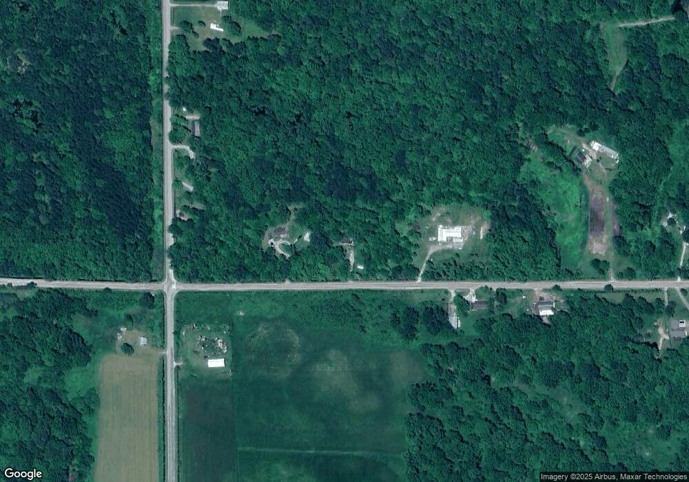
Map
Nearby Homes
- N/A Crosby Rd
- 5363 Keystone Rd
- 1831 Kitchen Rd
- 111 South St
- 6849 Leggett Rd
- 10 W Maple Ridge Rd
- 388 W Lagrant Rd
- 3433 Nile Rd
- 316 S Bullock St
- 7207 Prescott Rd
- 1870 Michigan 65
- 100 & 102 S Bullock St
- 0 N Tonkey Rd
- 1409 N Crawford Rd
- 10 S Imperial Dr
- 1471 Keystone Rd
- N/A E Andrews Rd
- 4901 Michigan 55
- 3965 E Michigan 55
- 2275 Noble Rd
- 4956 Keystone Rd
- 4900 Keystone Rd
- 3455 National City Rd
- 3445 National City Rd
- 6768 Keystone Rd
- 3475 National City Rd
- 3455 & 3475 S National City Rd
- 4822 Keystone Rd
- 3359 National City Rd
- 4801 Keystone Rd
- 4754 Keystone Rd
- 3333 National City Rd
- 3333 National City Rd
- 3522 National City Rd
- 3400 Crosby Rd
- 0 Crosby Rd
- 5144 Keystone Rd
- 3320 National City Rd
- 3711 National City Rd
- 3515 Crosby Rd