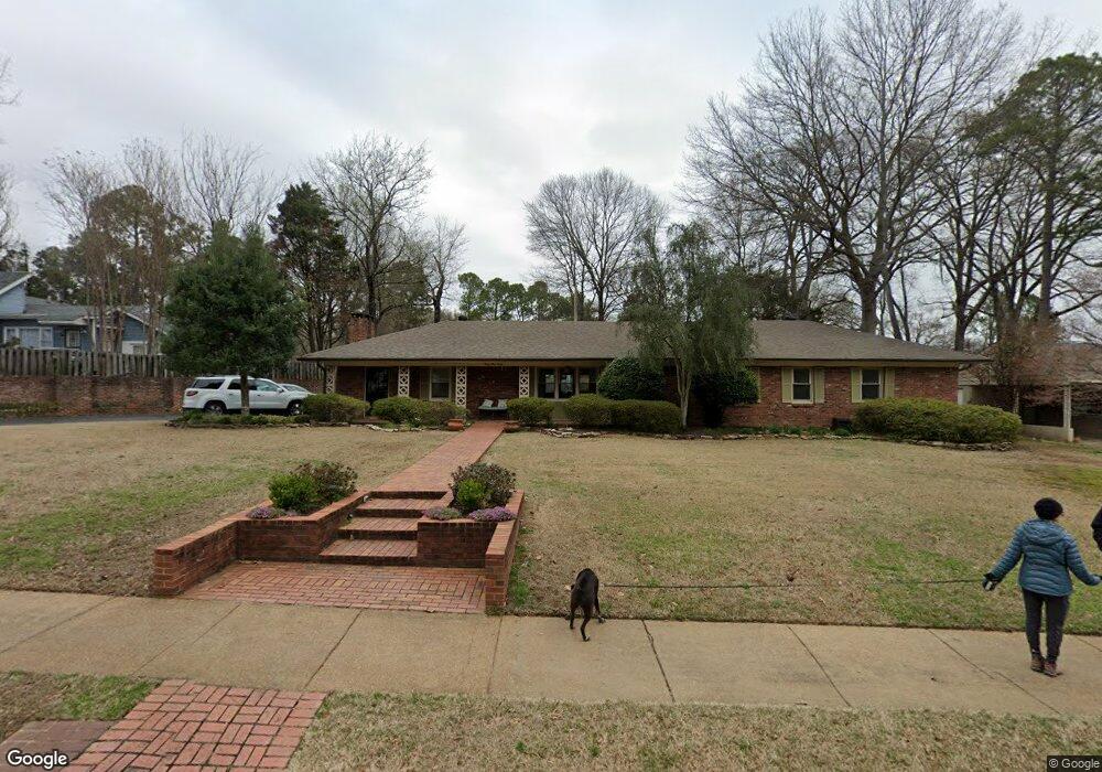
4930 Robindale Ln Memphis, TN 38117
East Memphis NeighborhoodEstimated Value: $396,221 - $492,000
2
Beds
3
Baths
2,679
Sq Ft
$168/Sq Ft
Est. Value
About This Home
This home is located at 4930 Robindale Ln, Memphis, TN 38117 and is currently estimated at $450,055, approximately $167 per square foot. 4930 Robindale Ln is a home located in Shelby County with nearby schools including Richland Elementary School, White Station Middle, and White Station High.
Ownership History
Date
Name
Owned For
Owner Type
Purchase Details
Closed on
Apr 12, 2021
Sold by
Gundlach Steven R
Bought by
Gundlach Steve R and Gundlach Jeanie E
Current Estimated Value
Home Financials for this Owner
Home Financials are based on the most recent Mortgage that was taken out on this home.
Original Mortgage
$202,000
Interest Rate
3.05%
Mortgage Type
New Conventional
Purchase Details
Closed on
Aug 26, 2002
Sold by
Gundlach Steven R
Bought by
Gundlach Steven R and Gundlach Jeanie E
Create a Home Valuation Report for This Property
The Home Valuation Report is an in-depth analysis detailing your home's value as well as a comparison with similar homes in the area
Home Values in the Area
Average Home Value in this Area
Purchase History
| Date | Buyer | Sale Price | Title Company |
|---|---|---|---|
| Gundlach Steve R | -- | None Available | |
| Gundlach Steven R | -- | -- |
Source: Public Records
Mortgage History
| Date | Status | Borrower | Loan Amount |
|---|---|---|---|
| Closed | Gundlach Steve R | $202,000 |
Source: Public Records
Tax History
| Year | Tax Paid | Tax Assessment Tax Assessment Total Assessment is a certain percentage of the fair market value that is determined by local assessors to be the total taxable value of land and additions on the property. | Land | Improvement |
|---|---|---|---|---|
| 2025 | $3,004 | $107,775 | $18,325 | $89,450 |
| 2024 | $3,004 | $88,625 | $19,325 | $69,300 |
| 2023 | $5,399 | $88,625 | $19,325 | $69,300 |
| 2022 | $5,399 | $88,625 | $19,325 | $69,300 |
| 2021 | $5,462 | $88,625 | $19,325 | $69,300 |
| 2020 | $4,998 | $68,975 | $19,325 | $49,650 |
| 2019 | $4,998 | $68,975 | $19,325 | $49,650 |
| 2018 | $4,998 | $68,975 | $19,325 | $49,650 |
| 2017 | $2,835 | $68,975 | $19,325 | $49,650 |
| 2016 | $2,626 | $60,100 | $0 | $0 |
| 2014 | $2,626 | $60,100 | $0 | $0 |
Source: Public Records
Map
Nearby Homes
- 4935 Robindale Ln
- 4866 Barfield Rd
- 4809 Normandy Ln
- 4798 Normandy Ln
- 204 Leonora Dr
- 240 Avon Rd
- 185 Betty jo Ln
- 4766 Chickasaw Rd
- 5099 Walnut Grove Rd
- 354 Avon Rd
- 5185 Mary Starnes Dr
- 316 Vescovo Dr
- 35 W Bendel Cir
- 5163 Peg Ln
- 65 Laverne Ln
- 151 N White Station Rd
- 5188 Gwynne Rd
- 186 N White Station Rd
- 226 N White Station Rd
- 4640 Chickasaw Rd
- 4940 Robindale Ln
- 144 N Mendenhall Rd
- 122 N Mendenhall Rd
- 4948 Robindale Ln
- 4919 Barfield Rd
- 4939 Barfield Rd
- 4943 Robindale Ln
- 118 N Mendenhall Rd
- 4947 Barfield Rd
- 4953 Robindale Ln
- 4964 Robindale Ln
- 151 N Mendenhall Rd
- 4957 Barfield Rd
- 4936 Normandy Ln
- 114 N Mendenhall Rd
- 4963 Robindale Ln
- 4942 Normandy Ln
- 163 N Mendenhall Rd
- 180 N Mendenhall Rd
- 4891 Barfield Rd
Your Personal Tour Guide
Ask me questions while you tour the home.