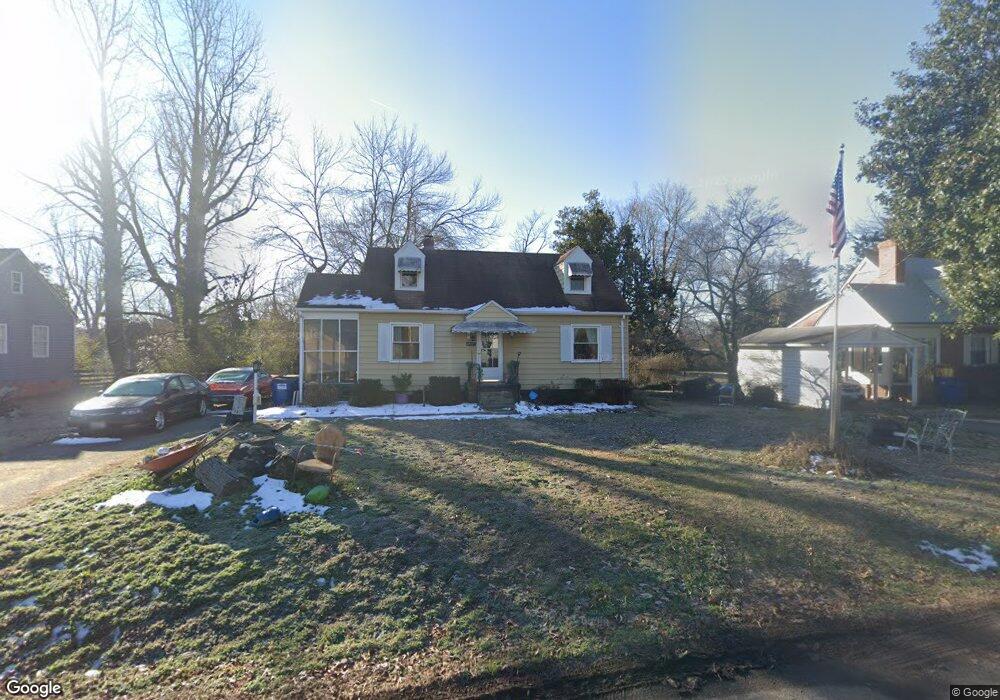
4931 Stanley Dr North Chesterfield, VA 23234
Estimated Value: $247,000 - $289,000
3
Beds
1
Bath
1,518
Sq Ft
$180/Sq Ft
Est. Value
About This Home
This home is located at 4931 Stanley Dr, North Chesterfield, VA 23234 and is currently estimated at $273,519, approximately $180 per square foot. 4931 Stanley Dr is a home located in Chesterfield County with nearby schools including J G Hening Elementary School, Falling Creek Middle, and Meadowbrook High School.
Ownership History
Date
Name
Owned For
Owner Type
Purchase Details
Closed on
Jun 26, 2009
Sold by
Robertson Edward B
Bought by
Purvis Damian Earl
Current Estimated Value
Home Financials for this Owner
Home Financials are based on the most recent Mortgage that was taken out on this home.
Original Mortgage
$152,879
Outstanding Balance
$97,834
Interest Rate
4.93%
Mortgage Type
New Conventional
Estimated Equity
$175,685
Create a Home Valuation Report for This Property
The Home Valuation Report is an in-depth analysis detailing your home's value as well as a comparison with similar homes in the area
Home Values in the Area
Average Home Value in this Area
Purchase History
| Date | Buyer | Sale Price | Title Company |
|---|---|---|---|
| Purvis Damian Earl | $155,700 | -- |
Source: Public Records
Mortgage History
| Date | Status | Borrower | Loan Amount |
|---|---|---|---|
| Open | Purvis Damian Earl | $152,879 |
Source: Public Records
Tax History Compared to Growth
Tax History
| Year | Tax Paid | Tax Assessment Tax Assessment Total Assessment is a certain percentage of the fair market value that is determined by local assessors to be the total taxable value of land and additions on the property. | Land | Improvement |
|---|---|---|---|---|
| 2025 | $2,436 | $270,900 | $50,000 | $220,900 |
| 2024 | $2,436 | $248,700 | $50,000 | $198,700 |
| 2023 | $2,263 | $218,600 | $45,000 | $173,600 |
| 2022 | $1,754 | $190,600 | $37,000 | $153,600 |
| 2021 | $1,587 | $160,100 | $35,000 | $125,100 |
| 2020 | $1,400 | $147,400 | $35,000 | $112,400 |
| 2019 | $1,391 | $146,400 | $34,000 | $112,400 |
| 2018 | $1,380 | $145,300 | $34,000 | $111,300 |
| 2017 | $1,395 | $145,300 | $34,000 | $111,300 |
| 2016 | $1,371 | $142,800 | $34,000 | $108,800 |
| 2015 | $1,359 | $139,000 | $34,000 | $105,000 |
| 2014 | $1,359 | $139,000 | $34,000 | $105,000 |
Source: Public Records
Map
Nearby Homes
- 4846 Stanley Dr
- 5713 Lakemere Dr
- 5707 Lakemere Dr
- 4903 Waycrest Terrace
- 4921 Crispin Ct
- 4704 Leadenhall Dr
- 4709 Leadenhall Dr
- 6006 Meadwood Cir
- 6218 Howell Dr
- 4715 Little Creek Ln
- 5213 W Rock Spring Dr
- 4406 Little Creek Ln
- 6600 Turnaway Ln
- 4424 Watchrun Dr
- 4324 Watchrun Dr
- 5310 Lingle Ln
- 4712 Taylor Brook Ln
- 4021 Cogbill Rd
- 5247 S Prestonwood Ave
- 5329 Meadoway Rd
- 4925 Stanley Dr
- 4937 Stanley Dr
- 4919 Stanley Dr
- 4930 Cogbill Rd
- 4936 Cogbill Rd
- 4924 Cogbill Rd
- 4932 Stanley Dr
- 4842 Village Lake Dr
- 4926 Stanley Dr
- 4848 Village Lake Dr
- 4836 Village Lake Dr
- 4913 Stanley Dr
- 4918 Cogbill Rd
- 4942 Cogbill Rd
- 4830 Village Lake Dr
- 4920 Stanley Dr
- 4912 Cogbill Rd
- 4914 Stanley Dr
- 4824 Village Lake Dr
- 5813 Portrait Place