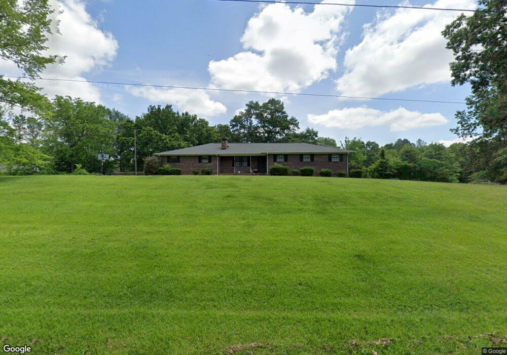
4931 Tibbs Bridge Rd SE Dalton, GA 30721
Estimated Value: $268,000 - $311,000
--
Bed
2
Baths
1,836
Sq Ft
$157/Sq Ft
Est. Value
About This Home
This home is located at 4931 Tibbs Bridge Rd SE, Dalton, GA 30721 and is currently estimated at $288,146, approximately $156 per square foot. 4931 Tibbs Bridge Rd SE is a home located in Whitfield County with nearby schools including Cedar Ridge Elementary School, Eastbrook Middle School, and Southeast Whitfield County High School.
Ownership History
Date
Name
Owned For
Owner Type
Purchase Details
Closed on
Aug 18, 2010
Sold by
Ledford Donald F
Bought by
Cruz Saturnino De La
Current Estimated Value
Home Financials for this Owner
Home Financials are based on the most recent Mortgage that was taken out on this home.
Original Mortgage
$39,065
Outstanding Balance
$25,891
Interest Rate
4.59%
Mortgage Type
FHA
Estimated Equity
$262,255
Purchase Details
Closed on
Nov 1, 1997
Bought by
Ledford Donald F
Create a Home Valuation Report for This Property
The Home Valuation Report is an in-depth analysis detailing your home's value as well as a comparison with similar homes in the area
Home Values in the Area
Average Home Value in this Area
Purchase History
| Date | Buyer | Sale Price | Title Company |
|---|---|---|---|
| Cruz Saturnino De La | $145,000 | -- | |
| Ledford Donald F | -- | -- |
Source: Public Records
Mortgage History
| Date | Status | Borrower | Loan Amount |
|---|---|---|---|
| Open | Cruz Saturnino De La | $39,065 |
Source: Public Records
Tax History Compared to Growth
Tax History
| Year | Tax Paid | Tax Assessment Tax Assessment Total Assessment is a certain percentage of the fair market value that is determined by local assessors to be the total taxable value of land and additions on the property. | Land | Improvement |
|---|---|---|---|---|
| 2024 | $2,127 | $101,669 | $10,093 | $91,576 |
| 2023 | $2,127 | $71,127 | $5,705 | $65,422 |
| 2022 | $1,487 | $50,402 | $4,657 | $45,745 |
| 2021 | $1,487 | $50,402 | $4,657 | $45,745 |
| 2020 | $1,538 | $50,402 | $4,657 | $45,745 |
| 2019 | $1,563 | $50,402 | $4,657 | $45,745 |
| 2018 | $1,578 | $50,073 | $4,328 | $45,745 |
| 2017 | $1,578 | $50,073 | $4,328 | $45,745 |
| 2016 | $1,368 | $45,117 | $3,329 | $41,788 |
| 2014 | $1,287 | $47,805 | $6,017 | $41,788 |
| 2013 | -- | $47,804 | $6,016 | $41,788 |
Source: Public Records
Map
Nearby Homes
- 4322 Banks Dr SE
- 185 Cedar Ridge Rd
- 760 Keith Rd SE
- 871 Robinson Rd
- 00 Gaines Rd SE
- 84 Star Way
- 1121 Bell Loop
- 0 Leon Cir
- 402 Freedom Way
- 127 Bell Loop
- 233 Bell Loop
- 172 Bell Loop
- 51 Corvette Dr
- 327 Bell Loop
- 399 Bell Loop
- 210 Gordon Dr
- 168 Charger Dr
- 3807 Georgia 52
- 1032 Corvette Dr
- 01 Headrick Cir SE
- 4940 Tibbs Bridge Rd SE
- 4924 Tibbs Bridge Rd SE
- 4738 Tibbs Bridge Rd SE
- 4953 Tibbs Bridge Rd SE
- 4780 Tibbs Bridge Rd SE
- 4780 Tibbs Bridge Rd SE
- 4920 Tibbs Bridge Rd SE
- 111 Cypress Dr SE
- 4899 Tibbs Bridge Rd SE
- 4814 Tibbs Bridge Rd SE
- 4872 Tibbs Bridge Rd SE
- 150 Cypress Dr SE
- 4846 Tibbs Bridge Rd SE
- 4846 Tibbs Bridge Rd SE
- 4846 Tibbs Bridge Rd SE
- 4868 Tibbs Bridge Rd SE
- 4851 Tibbs Bridge Rd SE
- 4851 Tibbs Bridge Rd SE
- 160 Newberry Farm Rd
- 4812 Tibbs Bridge Rd SE