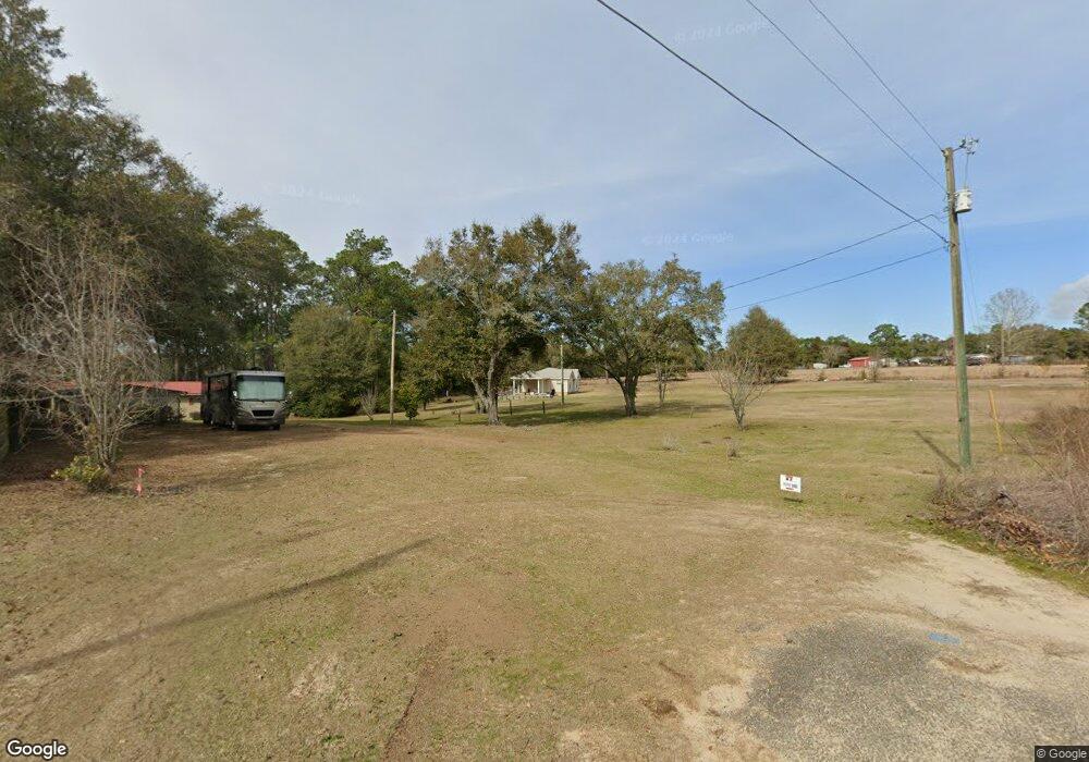
4931 Us Highway 331 N Defuniak Springs, FL 32433
Estimated Value: $243,000 - $271,635
3
Beds
2
Baths
1,274
Sq Ft
$205/Sq Ft
Est. Value
About This Home
This home is located at 4931 Us Highway 331 N, Defuniak Springs, FL 32433 and is currently estimated at $261,212, approximately $205 per square foot. 4931 Us Highway 331 N is a home located in Walton County with nearby schools including Maude Saunders Elementary School, West Defuniak Elementary School, and Walton Middle School.
Ownership History
Date
Name
Owned For
Owner Type
Purchase Details
Closed on
Nov 20, 2007
Sold by
Burgess Jamie Denise
Bought by
Heady David Lee and Burgess Jamie Denise
Current Estimated Value
Home Financials for this Owner
Home Financials are based on the most recent Mortgage that was taken out on this home.
Original Mortgage
$133,000
Interest Rate
6.26%
Mortgage Type
Construction
Create a Home Valuation Report for This Property
The Home Valuation Report is an in-depth analysis detailing your home's value as well as a comparison with similar homes in the area
Home Values in the Area
Average Home Value in this Area
Purchase History
| Date | Buyer | Sale Price | Title Company |
|---|---|---|---|
| Heady David Lee | -- | Landmark Title & Escrow Inc |
Source: Public Records
Mortgage History
| Date | Status | Borrower | Loan Amount |
|---|---|---|---|
| Closed | Heady David Lee | $133,000 |
Source: Public Records
Tax History Compared to Growth
Tax History
| Year | Tax Paid | Tax Assessment Tax Assessment Total Assessment is a certain percentage of the fair market value that is determined by local assessors to be the total taxable value of land and additions on the property. | Land | Improvement |
|---|---|---|---|---|
| 2024 | $1,239 | $155,462 | $24,476 | $130,986 |
| 2023 | $1,239 | $118,999 | $0 | $0 |
| 2022 | $1,176 | $148,545 | $27,168 | $121,377 |
| 2021 | $1,011 | $110,190 | $22,980 | $87,210 |
| 2020 | $901 | $89,405 | $13,861 | $75,544 |
| 2019 | $887 | $88,393 | $13,590 | $74,803 |
| 2018 | $865 | $85,686 | $0 | $0 |
| 2017 | $864 | $85,251 | $13,590 | $71,661 |
| 2016 | $858 | $83,689 | $0 | $0 |
| 2015 | $855 | $82,030 | $0 | $0 |
| 2014 | $867 | $82,030 | $0 | $0 |
Source: Public Records
Map
Nearby Homes
- 3.2 acres Paul Rd
- 600 Paradise Island Dr
- 834 Paradise Island Dr
- 50 Kings Lake Blvd
- 4103 King Lake Rd
- 000 Kings Lake Blvd
- 1 ac. Amanda Ln
- 1100 Kings Lake Blvd
- 193 Seminole Terrace
- 395 Lake Holley Cir
- 227 Holland Rd
- 00 Lake Holley Cir
- 149 Nusom Dr
- LOT #56 Seacoast Way
- xxx King Lake Rd
- Lot 59 Seacoast Way
- Lot 53 Seacoast Way
- Lot 23 Seacoast Way
- lot 49 Seacoast Way
- lot 7 Seacoast Way
- 100 Spears Cir
- 3 Spears Cir
- 3 Spears Cir
- 3 Spears Cir
- 72 Spears Cir
- 15&16 Spears Cir
- 26 Spears Cir
- 121 Spears Cir
- 253 Nellie Paul Ln
- LOT 9 Spears Cir
- 5077 Us Highway 331 N
- 5 Spears Cir
- 000 W Lane Court Lots 1 & 2
- Lot #3 Spears Cir
- 49 Box Elder Dr W
- 141 Spears Cir
- Lot 8 Spears Cir
- 78 Russell Rd
- 5123 Us Highway 331 N
- 36 Russell Rd