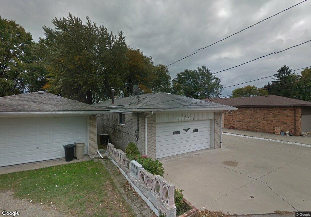
49310 Bayshore St Chesterfield, MI 48047
Estimated Value: $365,325 - $527,000
2
Beds
2
Baths
1,162
Sq Ft
$363/Sq Ft
Est. Value
About This Home
This home is located at 49310 Bayshore St, Chesterfield, MI 48047 and is currently estimated at $422,081, approximately $363 per square foot. 49310 Bayshore St is a home located in Macomb County with nearby schools including Lottie M. Schmidt Elementary School, Anchor Bay Middle School South, and Anchor Bay High School.
Ownership History
Date
Name
Owned For
Owner Type
Purchase Details
Closed on
Jan 20, 2021
Sold by
Hunger Mack Marlene A and Mack Thomas M
Bought by
Hunger Mack Marlene A and Marlene A Mack Declaration Of
Current Estimated Value
Purchase Details
Closed on
Nov 27, 2018
Sold by
Bartoli Corrado A and Bartoli Antoinette J
Bought by
Mack Thomas M and Hunger Mack Marlene A
Purchase Details
Closed on
Apr 27, 2010
Sold by
Bartoli Corrado A and Wozniak Antoinette J
Bought by
Bartoli Maria and Bartoli Corrado A
Purchase Details
Closed on
Jul 16, 1999
Sold by
Schweihofer Walter J
Bought by
Bartoli Corrado A
Create a Home Valuation Report for This Property
The Home Valuation Report is an in-depth analysis detailing your home's value as well as a comparison with similar homes in the area
Home Values in the Area
Average Home Value in this Area
Purchase History
| Date | Buyer | Sale Price | Title Company |
|---|---|---|---|
| Hunger Mack Marlene A | -- | None Available | |
| Mack Thomas M | $280,000 | Liberty Title | |
| Bartoli Maria | -- | None Available | |
| Bartoli Corrado A | $185,000 | -- |
Source: Public Records
Tax History Compared to Growth
Tax History
| Year | Tax Paid | Tax Assessment Tax Assessment Total Assessment is a certain percentage of the fair market value that is determined by local assessors to be the total taxable value of land and additions on the property. | Land | Improvement |
|---|---|---|---|---|
| 2025 | $6,085 | $172,000 | $0 | $0 |
| 2024 | $3,500 | $170,000 | $0 | $0 |
| 2023 | $3,317 | $160,800 | $0 | $0 |
| 2022 | $5,507 | $153,800 | $0 | $0 |
| 2021 | $5,356 | $150,400 | $0 | $0 |
| 2020 | $3,048 | $146,000 | $0 | $0 |
| 2019 | $4,954 | $138,600 | $0 | $0 |
| 2018 | $3,637 | $130,800 | $68,500 | $62,300 |
| 2017 | $3,553 | $118,750 | $61,650 | $57,100 |
| 2016 | $3,545 | $118,750 | $0 | $0 |
| 2015 | $1,650 | $108,850 | $0 | $0 |
| 2014 | $1,650 | $100,200 | $59,350 | $40,850 |
| 2012 | -- | $0 | $0 | $0 |
Source: Public Records
Map
Nearby Homes
- 49300 Bayshore St
- 33500 Meldrum St Unit 12
- 49016 Point Lakeview St
- 33878 Au Sable Dr Unit 19
- 33855 Au Sable Dr Unit 8
- 33796 Michigamme Dr Unit 34
- 49750 Nautical Dr
- 33831 Au Sable Dr Unit 24
- The Chestnut Plan at Lottivue Riverside Woods
- The Willow Plan at Lottivue Riverside Woods
- 48841 Salt River Dr
- 48855 Salt River Dr
- 49039 Jefferson Ave
- 33802 Au Sable Dr
- 49677 Manistee Dr Unit 85
- 33806 Au Sable New Dr Unit 38
- 49596 Platte River Dr
- 49877 Miller Ct Unit 19
- 33647 Bayview Dr
- 49673 Manistee Dr
- 49316 Bayshore St
- 49324 Bayshore St
- 49286 Bayshore Dr
- 49328 Bayshore St
- 49307 Bayshore St
- 49334 Bayshore St
- 49333 Bayshore Dr
- 49340 Bayshore St
- 0 Bay St Unit 217055985
- 0 Bay St Unit G31338653
- 0 Bay St Unit G31373858
- 0 Bay St
- 49274 Bayshore Dr
- 49285 Bayshore St
- 49354 Bay Ln
- 00 Baylane St
- 49348 Bay Ln
- 49360 Bay Ln
- 49262 Bayshore Dr
- 33753 Roselawn St