4932 County Road F Black Earth, WI 53515
Estimated Value: $805,000 - $1,065,000
--
Bed
--
Bath
--
Sq Ft
4.51
Acres
About This Home
This home is located at 4932 County Road F, Black Earth, WI 53515 and is currently estimated at $911,723. 4932 County Road F is a home located in Dane County with nearby schools including Wisconsin Heights Elementary School, Mazomanie Elementary School, and Wisconsin Heights Middle School.
Ownership History
Date
Name
Owned For
Owner Type
Purchase Details
Closed on
Apr 15, 2005
Sold by
Barsness Marlin J
Bought by
Wagner Michael P and Wagner Sherri
Current Estimated Value
Home Financials for this Owner
Home Financials are based on the most recent Mortgage that was taken out on this home.
Original Mortgage
$129,000
Outstanding Balance
$67,044
Interest Rate
5.89%
Mortgage Type
Future Advance Clause Open End Mortgage
Estimated Equity
$844,679
Create a Home Valuation Report for This Property
The Home Valuation Report is an in-depth analysis detailing your home's value as well as a comparison with similar homes in the area
Home Values in the Area
Average Home Value in this Area
Purchase History
| Date | Buyer | Sale Price | Title Company |
|---|---|---|---|
| Wagner Michael P | $129,000 | None Available |
Source: Public Records
Mortgage History
| Date | Status | Borrower | Loan Amount |
|---|---|---|---|
| Open | Wagner Michael P | $129,000 |
Source: Public Records
Tax History Compared to Growth
Tax History
| Year | Tax Paid | Tax Assessment Tax Assessment Total Assessment is a certain percentage of the fair market value that is determined by local assessors to be the total taxable value of land and additions on the property. | Land | Improvement |
|---|---|---|---|---|
| 2024 | $10,019 | $691,900 | $148,100 | $543,800 |
| 2023 | $9,617 | $691,900 | $148,100 | $543,800 |
| 2021 | $9,891 | $484,600 | $108,600 | $376,000 |
| 2020 | $9,697 | $484,600 | $108,600 | $376,000 |
| 2019 | $8,627 | $484,600 | $108,600 | $376,000 |
| 2018 | $8,122 | $484,600 | $108,600 | $376,000 |
| 2017 | $7,815 | $484,600 | $108,600 | $376,000 |
| 2016 | $8,036 | $484,600 | $108,600 | $376,000 |
| 2015 | $8,400 | $484,600 | $108,600 | $376,000 |
| 2014 | $8,275 | $484,600 | $108,600 | $376,000 |
| 2013 | $7,227 | $484,600 | $108,600 | $376,000 |
Source: Public Records
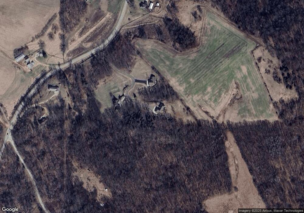
Map
Nearby Homes
- 2033 Handel St
- 1920 Blue Mounds St
- 1800 Blue Mounds St
- 3021 Handel St
- 1103 Hillcrest Rd
- 1328 Blue Mounds St
- 1300 Blue Mounds St
- 1225 Ripp Dr
- 1010 Mills St
- 4230 Dalby Rd
- 4225 County Road Jj
- 0 Scara Brea Ln Unit 2008245
- 9.9 acres Hwy 14 & Hwy 78 19
- 709 Prairie Ln
- Lot 19 Prairie Ln
- 714 Lichte Dr
- 710 Reeve Rd
- 708 Reeve Rd
- 508 Prairie Ln
- 503 Ridge Dr
- 4938 County Road F
- 4938 County Road F
- 4928 County Road F
- 4928 County Road F
- 4952 County Road F
- 0 County Road F Unit 1604054
- 0 County Road F Unit 1636184
- 4896 County Road F
- 4917 County Road F
- 4763 Old Indian Trail
- 4763 Old Indian Trail
- 4733 Old Indian Trail
- 4903 County Road F
- 4911 County Road F
- 10440 Enerson Rd
- 4884 County Road F
- 4744 Old Indian Trail
- 4967 County Road F
- 4660 Old Indian Trail
- 10480 Enerson Rd