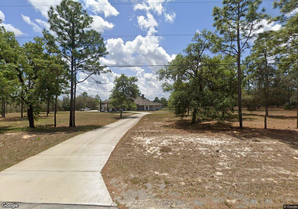
4932 W Angus Dr Unit 2 Beverly Hills, FL 34465
Estimated Value: $812,000 - $1,209,000
4
Beds
3
Baths
3,856
Sq Ft
$248/Sq Ft
Est. Value
About This Home
This home is located at 4932 W Angus Dr Unit 2, Beverly Hills, FL 34465 and is currently estimated at $957,699, approximately $248 per square foot. 4932 W Angus Dr Unit 2 is a home located in Citrus County with nearby schools including Crystal River High School, Central Ridge Elementary School, and Crystal River Middle School.
Ownership History
Date
Name
Owned For
Owner Type
Purchase Details
Closed on
Aug 26, 2023
Sold by
Hook Amy and Hook William
Bought by
Hook Amy
Current Estimated Value
Purchase Details
Closed on
Jan 23, 2018
Sold by
Hook Amy
Bought by
Hook Amy and Hook William
Purchase Details
Closed on
Aug 12, 2015
Sold by
Florida Good Faith Management Llc
Bought by
Hook Amy
Purchase Details
Closed on
Feb 7, 2014
Sold by
Kucej Thomas G and Kucej Palmiero Doreen R
Bought by
Florida Good Faith Management Llc
Home Financials for this Owner
Home Financials are based on the most recent Mortgage that was taken out on this home.
Original Mortgage
$230,000
Interest Rate
17.39%
Mortgage Type
Balloon
Purchase Details
Closed on
May 1, 1996
Bought by
Hook Amy
Purchase Details
Closed on
May 1, 1987
Bought by
Hook Amy
Create a Home Valuation Report for This Property
The Home Valuation Report is an in-depth analysis detailing your home's value as well as a comparison with similar homes in the area
Home Values in the Area
Average Home Value in this Area
Purchase History
| Date | Buyer | Sale Price | Title Company |
|---|---|---|---|
| Hook Amy | $100 | None Listed On Document | |
| Hook Amy | $100 | None Listed On Document | |
| Hook Amy | -- | Attorney | |
| Hook Amy | $167,000 | North Central Fl Title Llc | |
| Florida Good Faith Management Llc | $130,000 | First American Title Ins Co | |
| Hook Amy | $35,000 | -- | |
| Hook Amy | $7,304,100 | -- |
Source: Public Records
Mortgage History
| Date | Status | Borrower | Loan Amount |
|---|---|---|---|
| Previous Owner | Florida Good Faith Management Llc | $230,000 |
Source: Public Records
Tax History Compared to Growth
Tax History
| Year | Tax Paid | Tax Assessment Tax Assessment Total Assessment is a certain percentage of the fair market value that is determined by local assessors to be the total taxable value of land and additions on the property. | Land | Improvement |
|---|---|---|---|---|
| 2024 | $7,398 | $550,059 | -- | -- |
| 2023 | $7,398 | $531,361 | $0 | $0 |
| 2022 | $6,672 | $488,650 | $0 | $0 |
| 2021 | $5,483 | $409,741 | $0 | $0 |
| 2020 | $5,398 | $479,163 | $71,080 | $408,083 |
| 2019 | $5,343 | $488,489 | $68,870 | $419,619 |
| 2018 | $5,329 | $469,918 | $64,460 | $405,458 |
| 2017 | $5,328 | $379,661 | $61,570 | $318,091 |
| 2016 | $1,072 | $66,710 | $66,710 | $0 |
| 2015 | $1,120 | $66,710 | $66,710 | $0 |
| 2014 | $1,045 | $61,200 | $61,200 | $0 |
Source: Public Records
Map
Nearby Homes
- 4658 W Hacienda Dr
- 5194 W Deputy Dr
- 5007 W Mustang Blvd
- 5283 W Mustang Blvd
- 4200 W Breckenridge Ct
- 6349 W Pine Ridge Blvd
- 4555 W Mustang Blvd
- 6328 W Pine Ridge Blvd
- 3428 N Bravo Dr
- 2441 N Sheriff Dr
- 2386 N Sheriff Dr
- 5809 W Costa Mesa Ln
- 3001 N Sheriff Dr
- 4491 W Stable Ct
- 3153 N Stirrup Dr
- 2348 N Stampede Dr
- 2257 N Stampede Dr
- 3937 W Shadow Creek Loop
- 2622 N Carnoustie Loop
- 3153 N Barton Creek Cir
- 4860 W Angus Dr
- 5000 W Angus Dr
- 4953 W Ranger St
- 4881 W Ranger St
- 4893 W Angus Dr
- 5015 W Ranger St
- 4965 W Angus Dr
- 4819 W Ranger St Unit 2
- 5053 W Angus Dr
- 4676 W Angus Dr
- 5038 W Angus Dr
- 5027 W Angus Dr
- 4801 W Angus Dr
- 5065 W Ranger St
- 4750 W Angus Dr
- 4880 W Ranger St
- 5014 W Ranger St
- 5125 W Ranger St Unit 2
- 5074 W Angus Dr