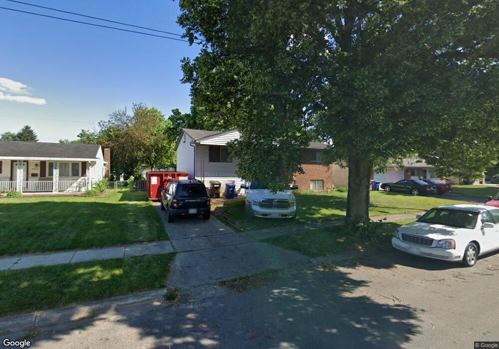
4933 Botsford Dr Columbus, OH 43232
Walnut Heights NeighborhoodEstimated Value: $188,877 - $223,000
4
Beds
2
Baths
984
Sq Ft
$210/Sq Ft
Est. Value
About This Home
This home is located at 4933 Botsford Dr, Columbus, OH 43232 and is currently estimated at $206,719, approximately $210 per square foot. 4933 Botsford Dr is a home located in Franklin County with nearby schools including Liberty Elementary School, Yorktown Middle School, and Independence High School.
Ownership History
Date
Name
Owned For
Owner Type
Purchase Details
Closed on
Jun 14, 2002
Sold by
Kipp Thomas T and Kipp Marijane
Bought by
Comer James A and Comer Joann
Current Estimated Value
Home Financials for this Owner
Home Financials are based on the most recent Mortgage that was taken out on this home.
Original Mortgage
$81,225
Outstanding Balance
$34,489
Interest Rate
6.87%
Estimated Equity
$172,230
Purchase Details
Closed on
Mar 16, 1999
Sold by
Kipp Thomas L and Kipp Judith A
Bought by
Kipp Thomas T and Kipp Marijane
Home Financials for this Owner
Home Financials are based on the most recent Mortgage that was taken out on this home.
Original Mortgage
$59,500
Interest Rate
6.8%
Mortgage Type
FHA
Purchase Details
Closed on
Aug 29, 1972
Bought by
Kipp Thomas L
Create a Home Valuation Report for This Property
The Home Valuation Report is an in-depth analysis detailing your home's value as well as a comparison with similar homes in the area
Home Values in the Area
Average Home Value in this Area
Purchase History
| Date | Buyer | Sale Price | Title Company |
|---|---|---|---|
| Comer James A | $85,500 | -- | |
| Kipp Thomas T | $60,000 | Title First Agency Inc | |
| Kipp Thomas L | -- | -- |
Source: Public Records
Mortgage History
| Date | Status | Borrower | Loan Amount |
|---|---|---|---|
| Open | Comer James A | $81,225 | |
| Previous Owner | Kipp Thomas T | $59,500 |
Source: Public Records
Tax History Compared to Growth
Tax History
| Year | Tax Paid | Tax Assessment Tax Assessment Total Assessment is a certain percentage of the fair market value that is determined by local assessors to be the total taxable value of land and additions on the property. | Land | Improvement |
|---|---|---|---|---|
| 2024 | $3,041 | $67,770 | $17,820 | $49,950 |
| 2023 | $3,003 | $67,760 | $17,815 | $49,945 |
| 2022 | $1,785 | $34,410 | $6,300 | $28,110 |
| 2021 | $1,788 | $34,410 | $6,300 | $28,110 |
| 2020 | $1,790 | $34,410 | $6,300 | $28,110 |
| 2019 | $1,745 | $28,770 | $5,250 | $23,520 |
| 2018 | $1,614 | $28,770 | $5,250 | $23,520 |
| 2017 | $1,744 | $28,770 | $5,250 | $23,520 |
| 2016 | $1,637 | $24,710 | $4,340 | $20,370 |
| 2015 | $1,486 | $24,710 | $4,340 | $20,370 |
| 2014 | $1,490 | $24,710 | $4,340 | $20,370 |
| 2013 | $817 | $27,475 | $4,830 | $22,645 |
Source: Public Records
Map
Nearby Homes
- 0 Noe Bixby Rd
- 5061 Labelle Dr
- 5123 Jameson Dr
- 5114 Carbondale Dr
- 2615 Carbondale Place
- 2342 Noe Bixby Rd
- 2336 Noe Bixby Rd
- 2360 Noe Bixby Rd
- 2354 Noe Bixby Rd
- 2348 Noe Bixby Rd
- 2150 Noe Bixby Rd
- 2447 Maybury Rd
- 5144 Botsford Dr
- 2173 Noe Bixby Rd
- 5011 Refugee Rd
- 5268 Carbondale Dr
- 2705 Denmark Rd
- 2651 Brownfield Rd
- 2746 Noe Bixby Rd
- 5278 Glenbriar Ct
- 4925 Botsford Dr
- 4943 Botsford Dr
- 4950 Comstock Dr
- 4921 Botsford Dr
- 4949 Botsford Dr
- 4944 Comstock Dr
- 4960 Comstock Dr
- 4936 Comstock Dr
- 4966 Comstock Dr
- 4915 Botsford Dr
- 4955 Botsford Dr
- 4932 Botsford Dr
- 4940 Botsford Dr
- 4924 Botsford Dr
- 4928 Comstock Dr
- 4974 Comstock Dr
- 4948 Botsford Dr
- 4920 Botsford Dr
- 4965 Botsford Dr
- 2430 Botsford Place