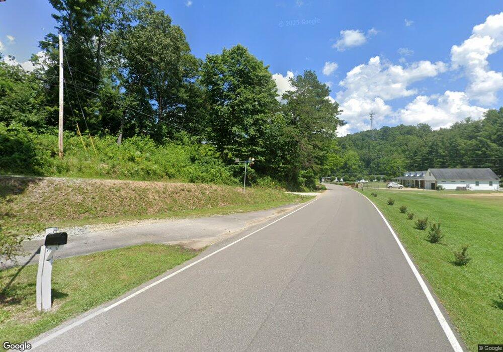
4933 Daniels Fork Rd Ashland, KY 41102
Estimated Value: $103,000 - $198,000
3
Beds
2
Baths
960
Sq Ft
$134/Sq Ft
Est. Value
About This Home
This home is located at 4933 Daniels Fork Rd, Ashland, KY 41102 and is currently estimated at $128,813, approximately $134 per square foot. 4933 Daniels Fork Rd is a home located in Boyd County with nearby schools including Boyd County High School and Rose Hill Christian School.
Ownership History
Date
Name
Owned For
Owner Type
Purchase Details
Closed on
Jun 7, 2021
Sold by
Little James E
Bought by
Little James E and Little Brenda Gail
Current Estimated Value
Create a Home Valuation Report for This Property
The Home Valuation Report is an in-depth analysis detailing your home's value as well as a comparison with similar homes in the area
Home Values in the Area
Average Home Value in this Area
Purchase History
| Date | Buyer | Sale Price | Title Company |
|---|---|---|---|
| Little James E | -- | None Available | |
| Little James E | $3,000 | Clark Jeremy L | |
| Little James E | -- | None Available |
Source: Public Records
Tax History Compared to Growth
Tax History
| Year | Tax Paid | Tax Assessment Tax Assessment Total Assessment is a certain percentage of the fair market value that is determined by local assessors to be the total taxable value of land and additions on the property. | Land | Improvement |
|---|---|---|---|---|
| 2024 | $42 | $3,000 | $3,000 | $0 |
| 2023 | $41 | $3,000 | $3,000 | $0 |
| 2022 | $41 | $3,000 | $3,000 | $0 |
| 2021 | $41 | $3,000 | $3,000 | $0 |
| 2020 | $41 | $3,000 | $3,000 | $0 |
| 2019 | $42 | $3,000 | $0 | $0 |
| 2018 | $41 | $3,000 | $0 | $0 |
| 2017 | $41 | $3,000 | $0 | $0 |
| 2016 | $40 | $3,000 | $3,000 | $0 |
| 2015 | $41 | $3,000 | $3,000 | $0 |
| 2012 | $38 | $3,000 | $3,000 | $0 |
Source: Public Records
Map
Nearby Homes
- 912 Shady Oak Dr
- 5609 Small Blvd
- 620 Pin Oak Dr
- 5424 State Route 5
- 225 W Dog Ridge Rd
- 4128 Killen Dr
- 212 W Forestdale Rd
- 122 W Hicks Ct
- 5201 Bybee Rd
- 4028 Dickerson Rd
- 5415 Bybee Rd
- 350 Kentucky 716
- 222 W Meadowbrook Rd
- 523 W New Buckley Rd
- 5270 13th St
- 219 Johnson Ave
- 300 W New Buckley Rd Unit WW
- 0 Gloria Avenue Lot 1
- 500 Middletown Ave
- 4132 13th St
- 4936 Daniels Fork Rd
- 5018 Daniels Fork Rd
- 4831 Bob Ln
- 5019 Daniels Fork Rd
- 5019 Daniels Fork Rd
- 4829 Bob Ln
- 1006 Maple Ct
- 5037 Daniels Fork Rd
- 4824 Daniels Fork Rd
- 4823 Daniels Fork Rd Unit 4805
- 1000 Maple Ct
- 4939 Kildee Dr
- 4737 State Route 5
- 5001 Kildee Dr
- 4935 Kildee Dr
- 4706 State Route 5
- 5015 Kildee Dr
- 5116 Daniels Fork Rd
- 5051 Kildee Dr
- 5051 Kildee Dr Unit K15
