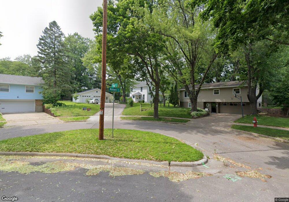
4934 Paul Ave Madison, WI 53711
Orchard Ridge NeighborhoodEstimated Value: $416,000 - $546,000
4
Beds
2
Baths
1,880
Sq Ft
$251/Sq Ft
Est. Value
About This Home
This home is located at 4934 Paul Ave, Madison, WI 53711 and is currently estimated at $472,421, approximately $251 per square foot. 4934 Paul Ave is a home located in Dane County with nearby schools including Orchard Ridge Elementary School, Toki Middle School, and Vel Phillips Memorial High School.
Ownership History
Date
Name
Owned For
Owner Type
Purchase Details
Closed on
Nov 14, 2024
Sold by
Chara Kessler Trust and Kessler Chara L
Bought by
Kessler Smith Family Trust and Kessler
Current Estimated Value
Purchase Details
Closed on
Jan 3, 2020
Sold by
Kessler Chara L
Bought by
Kessler Chara L and Chara Kessler Trust
Purchase Details
Closed on
Jan 2, 2020
Sold by
Kessler William D and Kessler Judith W
Bought by
Kessler Chara L
Purchase Details
Closed on
Aug 18, 2015
Sold by
Kessler William D and Kessler Judith W
Bought by
Kessler Properties Llc
Purchase Details
Closed on
Aug 15, 2014
Sold by
Odegaard Roger S and Estate Of Lona Pearl Annene
Bought by
Dirt Floor Llc
Create a Home Valuation Report for This Property
The Home Valuation Report is an in-depth analysis detailing your home's value as well as a comparison with similar homes in the area
Home Values in the Area
Average Home Value in this Area
Purchase History
| Date | Buyer | Sale Price | Title Company |
|---|---|---|---|
| Kessler Smith Family Trust | -- | None Listed On Document | |
| Kessler Smith Family Trust | -- | None Listed On Document | |
| Kessler Chara L | -- | None Available | |
| Kessler Chara L | -- | None Available | |
| Kessler William D | -- | None Available | |
| Kessler Properties Llc | -- | Attorney | |
| Kessler William D | -- | Attorney | |
| Dirt Floor Llc | $150,000 | None Available |
Source: Public Records
Tax History
| Year | Tax Paid | Tax Assessment Tax Assessment Total Assessment is a certain percentage of the fair market value that is determined by local assessors to be the total taxable value of land and additions on the property. | Land | Improvement |
|---|---|---|---|---|
| 2024 | $15,465 | $456,700 | $114,500 | $342,200 |
| 2023 | $7,314 | $422,900 | $106,000 | $316,900 |
| 2022 | $13,977 | $371,000 | $93,000 | $278,000 |
| 2021 | $6,607 | $325,400 | $81,600 | $243,800 |
| 2020 | $6,800 | $311,400 | $78,100 | $233,300 |
| 2019 | $6,266 | $291,000 | $73,000 | $218,000 |
| 2018 | $5,747 | $267,000 | $67,000 | $200,000 |
| 2017 | $5,436 | $242,300 | $67,000 | $175,300 |
| 2016 | $5,051 | $220,300 | $60,900 | $159,400 |
| 2015 | $4,880 | $137,400 | $58,600 | $78,800 |
| 2014 | $3,120 | $137,400 | $58,600 | $78,800 |
| 2013 | $3,127 | $133,400 | $56,900 | $76,500 |
Source: Public Records
Map
Nearby Homes
- 30 Whitcomb Cir Unit 10 D
- 14 Whitcomb Cir
- 1401 Lewon Dr
- 4514 Hammersley Rd Unit 2
- 4421 Vale Cir
- 5201 Fairway Dr
- 5602 Raymond Rd
- 2309 Teal Dr
- 4402 Vale Cir
- 5314 Kroncke Dr
- 5710 Russett Rd
- 4233 Doncaster Dr
- 2102 Manor Green Dr
- 4215 Wanetah Trail
- 5017 Holiday Dr
- 4206 Manitou Way
- 609 Constitution Ln
- 4130 Manitou Way
- 4301 Odana Rd
- 5837 Raymond Rd
- 4930 Paul Ave
- 1402 Annen Ln
- 5002 Dorsett Dr
- 4926 Paul Ave
- 5006 Dorsett Dr
- 4937 Hammersley Rd
- 1406 Annen Ln
- 1403 Stemp Terrace
- 4922 Paul Ave
- 4927 Hammersley Rd
- 1410 Annen Ln
- 4985 Hammersley Rd
- 4925 Paul Ave
- 1405 Stemp Terrace
- 4925 Hammersley Rd
- 5010 Dorsett Dr
- 4918 Paul Ave
- 5005 Hammersley Rd
- 1409 Annen Ln
- 1414 Annen Ln
Your Personal Tour Guide
Ask me questions while you tour the home.