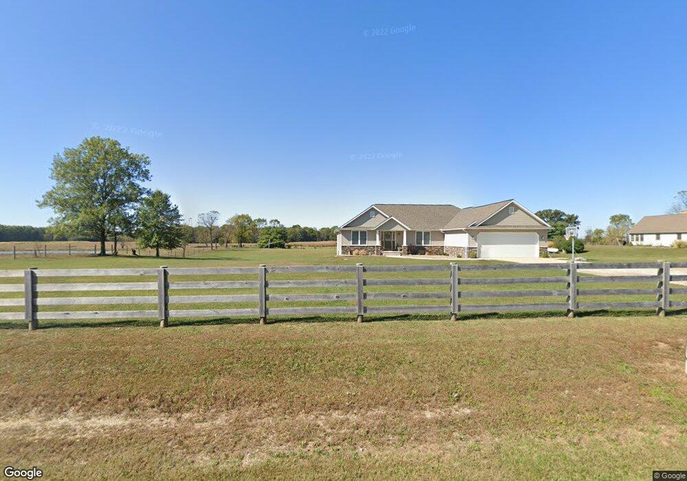
4934 Twp 126 Rd Mount Gilead, OH 43338
Estimated Value: $344,000 - $470,000
4
Beds
2
Baths
1,948
Sq Ft
$221/Sq Ft
Est. Value
About This Home
This home is located at 4934 Twp 126 Rd, Mount Gilead, OH 43338 and is currently estimated at $429,705, approximately $220 per square foot. 4934 Twp 126 Rd is a home with nearby schools including Park Avenue Elementary School, Mt Gilead Middle School, and Mt Gilead High School.
Ownership History
Date
Name
Owned For
Owner Type
Purchase Details
Closed on
Nov 8, 2012
Sold by
Hayes Brandon D and Hayes Kacey R
Bought by
Hayes Brandon D and Hayes Kacey R
Current Estimated Value
Purchase Details
Closed on
Jun 1, 2012
Sold by
Hawk Clayton R and Hawk Diana
Bought by
Hayes Brandon D and Hayes Kacey R
Purchase Details
Closed on
Jul 3, 2002
Sold by
Woodson James B And
Bought by
Hawk Clayton R and Hawk Diana
Purchase Details
Closed on
Jan 16, 1997
Bought by
Woodson James B And
Create a Home Valuation Report for This Property
The Home Valuation Report is an in-depth analysis detailing your home's value as well as a comparison with similar homes in the area
Home Values in the Area
Average Home Value in this Area
Purchase History
| Date | Buyer | Sale Price | Title Company |
|---|---|---|---|
| Hayes Brandon D | $25,000 | -- | |
| Hayes Brandon D | -- | -- | |
| Hawk Clayton R | $25,000 | -- | |
| Woodson James B And | $15,000 | -- |
Source: Public Records
Tax History Compared to Growth
Tax History
| Year | Tax Paid | Tax Assessment Tax Assessment Total Assessment is a certain percentage of the fair market value that is determined by local assessors to be the total taxable value of land and additions on the property. | Land | Improvement |
|---|---|---|---|---|
| 2024 | $4,907 | $119,500 | $15,510 | $103,990 |
| 2023 | $4,907 | $119,500 | $15,510 | $103,990 |
| 2022 | $4,192 | $91,910 | $9,450 | $82,460 |
| 2021 | $3,971 | $91,910 | $9,450 | $82,460 |
| 2020 | $3,973 | $91,910 | $9,450 | $82,460 |
| 2019 | $3,363 | $77,250 | $7,950 | $69,300 |
| 2018 | $3,364 | $77,250 | $7,950 | $69,300 |
| 2017 | $3,330 | $77,250 | $7,950 | $69,300 |
| 2016 | $2,879 | $66,610 | $7,000 | $59,610 |
| 2015 | $2,703 | $66,610 | $7,000 | $59,610 |
| 2014 | $2,746 | $66,610 | $7,000 | $59,610 |
| 2013 | $2,748 | $70,110 | $7,350 | $62,760 |
Source: Public Records
Map
Nearby Homes
- 4940 Township Road 126
- 4921 Township Road 126
- 5025 Township Road 126
- 4914 Township Road 126
- 4917 Township Road 126
- 5025 Twp 126 Rd
- 4851 Twp 126 Rd
- 5207 County Road 9
- 5135 County Road 9
- 5203 County Road 9
- 5205 County Road 9
- 5175 County Road 9
- 5180 Twp 126 Rd
- CO9 Rd
- 5180 Township Road 126
- 3376 Township Road 127
- 0 Township Road 127
- 3711 Township Road 127 Unit 31
- 3285 Township Road 129
- 3222 Township Rd